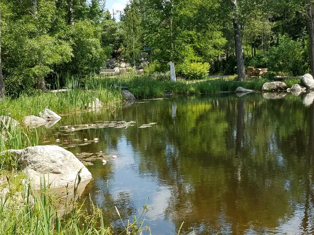
Quarry Mountain
- 8,254 ft
- summit
- May–Sep
- best months
Quarry Mountain is a summit in Colorado, rising to 8,254 feet about 1.7 miles from Steamboat Springs. It sits close to town, making it an easy objective for anyone already in the area. Summer is the most comfortable time to go. Typical averages from a nearby weather station in Steamboat Springs show July highs around 83°F with lows near 46°F, and the summit sits higher than that station, so temperatures on top run cooler. The closest trails are the Quarry Mountain Trail and the Lane of Pain, both about 0.1 mile away. Climbers can head to Butcher Knife, about 2.4 miles off, and Steamboat Springs KOA offers camping about 3.3 miles away.
Conditions and forecast
Daily highs and lows, wind and the chance of precipitation at the summit for the next 7 days, from the Open-Meteo model.
- Summit elevation
- 8,254 ft
Elevation from USGS 3D Elevation Program terrain data (about 10 m resolution).
We don't know of a mapped trail or route to the summit of Quarry Mountain. Plan the approach with local maps, a guidebook or a local guide, and check conditions before you go.
Questions about Quarry Mountain
How tall is Quarry Mountain?
8,254 ft (2,516 m).
Is there a trail to the top of Quarry Mountain?
We don't know of a mapped trail or route to the summit. Plan the approach with local maps, a guidebook or a local guide.
- Howelsen Hill7,173 ft · Colorado2 routes1.4 mi away
 Mount Werner10,573 ft · Colorado1 route5.8 mi awayPhoto: Jeffrey Beall, CC BY 4.0 (via Wikimedia Commons)
- Buffalo Mountain10,390 ft · Colorado1 route7.0 mi away
- Soda Mountain10,811 ft · Colorado1 route9.3 mi away
- Sand Mountain10,851 ft · Colorado1 route23 mi away
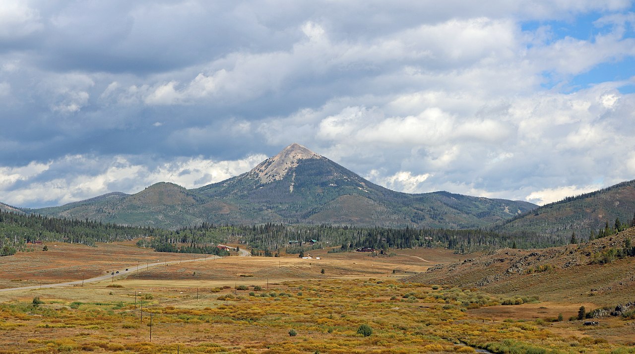 Hahns Peak10,845 ft · Colorado1 route27 mi awayPhoto: Jeffrey Beall, CC BY 4.0 (via Wikimedia Commons)
- Lane of PainMountain biking0.1 mi
- Quarry Mountain TrailMountain biking0.1 mi
- Butcher KnifeRock climbing2.4 mi
- Steamboat Springs KOACamping3.3 mi
- Steamboat SpringsRock climbing4.3 mi
 Eagle Soaring RV ParkCampingPhoto: Nolabob, CC BY-SA 4.0 (via Wikimedia Commons)5.9 mi
- Soda CreekCanoeing6 mi
- Walton CreekCanoeing6.9 mi
Source: Roamze catalog (indexable pages within 10 miles, PostGIS distance)
- Mount WernerSummit · ~10 min drivePhoto: Jeffrey Beall, CC BY 4.0 (via Wikimedia Commons)
 Elk MountainSummit · ~17 min drivePhoto: Jeffrey Beall, CC BY 4.0 (via Wikimedia Commons)
 Baker MountainSummit · ~25 min drivePhoto: Bob Denaro, CC BY 2.0 (via Wikimedia Commons)
 Whiteley PeakSummit · ~37 min drivePhoto: Jeffrey Beall, CC BY 4.0 (via Wikimedia Commons)
 Mount ZirkelSummit · ~47 min drivePhoto: TomKonrad, CC BY-SA 4.0 (via Wikimedia Commons)
 Flat Top MountainSummit · ~57 min drivePhoto: John Holm from Leadville, CO, USA, CC BY 2.0 (via Wikimedia Commons)
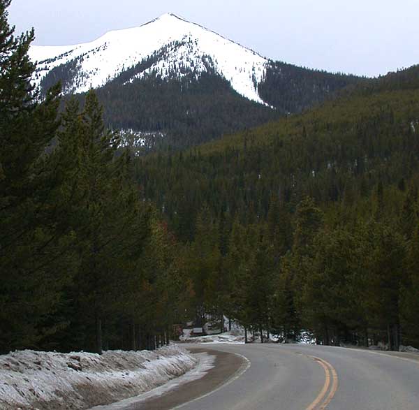 Parkview MountainSummit · ~1h 6m drivePhoto: Matthew Trump, CC BY-SA 3.0 (via Wikimedia Commons)
 Cedar MountainSummit · ~1h 10m drivePhoto: Jeffrey Beall, CC BY 4.0 (via Wikimedia Commons)
 Radial MountainSummit · ~1h 13m drivePhoto: Trellbailey, CC BY-SA 4.0 (via Wikimedia Commons)
 Castle PeakSummit · ~1h 22m drivePhoto: BLM-Colorado, Public domain (via Wikimedia Commons)
Also worth it near here
Best time to visit Quarry Mountain
Best months: May–September. Best months have typical highs of 55–85 °F, lows of 30 °F or warmer (32 °F where the station doesn't record snow), at most one snowy day and no more than 12 wet days.
Jan
29° / 5°
14 wet
Feb
34° / 8°
13 wet
Mar
45° / 18°
11 wet
Apr
54° / 27°
12 wet
May
65° / 34°
12 wet
Jun
76° / 39°
9 wet
Jul
83° / 46°
9 wet
Aug
82° / 44°
11 wet
Sep
74° / 36°
10 wet
Oct
59° / 26°
9 wet
Nov
43° / 16°
11 wet
Dec
30° / 6°
14 wet
Typical high / low (°F) and days with rain or snow, 1991–2020. Measured at Steamboat Springs, CO, 2.3 mi away at 6,866 ft. The station sits about 1,400 ft lower than this place, so expect it a little cooler here. This station doesn't record snowfall. Source: NOAA NCEI U.S. Climate Normals 1991–2020.