Cedar Mountain
 Photo: Jeffrey Beall, CC BY 4.0 (via Wikimedia Commons)
- 7,528 ft
- summit
- Bureau of Land Management
- managed by
- May–Sep
- best months
Cedar Mountain is a summit of 7,528 feet in northwest Colorado, on land managed by the Bureau of Land Management's Little Snake Field Office. The nearest town is Craig, about 5 miles away. Summer is the most comfortable time to visit. Typical averages from a nearby weather station in Craig show July highs around 85°F with lows near 50°F, and the summit sits higher than that station, so expect it to run a little cooler. Stearns Trail starts about half a mile away, and Pine Ridge Trail is about 2 miles off. For an overnight stay, KOA Kampground is roughly 7 miles away, and Fortification Creek offers canoeing about 8 miles out.
Conditions and forecast
Daily highs and lows, wind and the chance of precipitation at the summit for the next 7 days, from the Open-Meteo model.
- Summit elevation
- 7,528 ft
- Land manager
- Bureau of Land Management
Elevation from USGS 3D Elevation Program terrain data (about 10 m resolution).
We don't know of a mapped trail or route to the summit of Cedar Mountain. Plan the approach with local maps, a guidebook or a local guide, and check conditions before you go.
Questions about Cedar Mountain
How tall is Cedar Mountain?
7,528 ft (2,295 m).
Is there a trail to the top of Cedar Mountain?
We don't know of a mapped trail or route to the summit. Plan the approach with local maps, a guidebook or a local guide.
- Black Mountain10,844 ft · Colorado1 route19 mi away
- Sand Mountain10,851 ft · Colorado1 route32 mi away
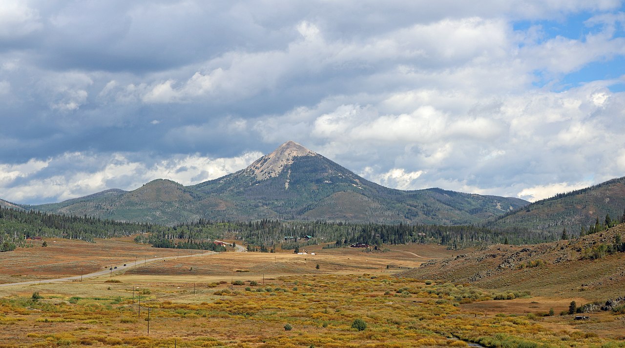 Hahns Peak10,845 ft · Colorado1 route40 mi awayPhoto: Jeffrey Beall, CC BY 4.0 (via Wikimedia Commons)
- Howelsen Hill7,173 ft · Colorado2 routes41 mi away
- Big Marvine Peak11,882 ft · Colorado1 route45 mi away
- Buffalo Mountain10,390 ft · Colorado1 route46 mi away
- Stearns TrailHiking0.5 mi
- Pine Ridge TrailHiking2.1 mi
- KOA KampgroundCamping6.8 mi
- Fortification CreekCanoeing7.7 mi
Source: Roamze catalog (indexable pages within 10 miles, PostGIS distance)
 Elk MountainSummit · ~58 min drivePhoto: Jeffrey Beall, CC BY 4.0 (via Wikimedia Commons)
 Mount WernerSummit · ~1h 20m drivePhoto: Jeffrey Beall, CC BY 4.0 (via Wikimedia Commons)
 Flat Top MountainSummit · ~1h 22m drivePhoto: John Holm from Leadville, CO, USA, CC BY 2.0 (via Wikimedia Commons)
 Steamboat RockSummit · ~59 min drivePhoto: Matthew Dillon, CC BY 2.0 (via Wikimedia Commons)
- Hahns PeakSummit · ~1h 9m drivePhoto: Jeffrey Beall, CC BY 4.0 (via Wikimedia Commons)
- Sand MountainSummit · ~55 min drive
- Quarry MountainSummit · ~1h 10m drive
- Big Marvine PeakSummit · ~1h 18m drive
- Soda MountainSummit · ~1h 20m drive
- Black MountainSummit · ~33 min drive
Best time to visit Cedar Mountain
Best months: May–September. Best months have typical highs of 55–85 °F, lows of 30 °F or warmer (32 °F where the station doesn't record snow), at most one snowy day and no more than 12 wet days.
Jan
30° / 7°
Feb
35° / 11°
Mar
47° / 20°
Apr
56° / 27°
May
66° / 36°
Jun
78° / 43°
Jul
85° / 50°
Aug
83° / 48°
Sep
75° / 39°
Oct
61° / 28°
Nov
45° / 18°
Dec
32° / 9°
Typical high / low (°F) and days with rain or snow, 1991–2020. Measured at Craig 4sw, CO, 8.6 mi away at 6,496 ft. The station sits about 1,000 ft lower than this place, so expect it a little cooler here. This station doesn't record snowfall. Source: NOAA NCEI U.S. Climate Normals 1991–2020.

