Mountain · 1 route
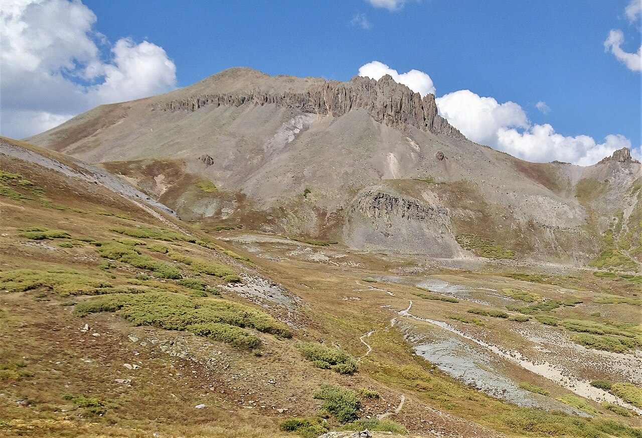
Mount Rhoda
13,414 ft · Colorado
- Summit
- 13,414 ft
- Routes
- 1 way up
- Managed by
- Bureau of Land Management
Route up Mount Rhoda
About Mount Rhoda
Mount Rhoda is a summit in San Juan County, Colorado, at about 13,414 feet.
Forecast on Mount Rhoda
Daily highs and lows, wind and the chance of precipitation at the summit and highland mary trailhead for the next 7 days, from the Open-Meteo model.
Questions about Mount Rhoda
How tall is Mount Rhoda?
13,414 ft (4,089 m).
How many routes go to the summit of Mount Rhoda?
One: Mount Rhoda.
Where do the routes up Mount Rhoda start?
Mount Rhoda starts at Highland Mary Trailhead.
Mountains nearby
 Kendall Peak13,448 ft · Colorado1 route1.6 mi awayPhoto: flamouroux, CC BY-SA 2.0 (via Wikimedia Commons)
 Little Giant Peak13,407 ft · Colorado1 route2.2 mi awayPhoto: Carol M. Highsmith, CC0 (via Wikimedia Commons)
- Kendall Mountain13,340 ft · Colorado1 route2.3 mi away
 Canby Mountain13,484 ft · Colorado1 route4.0 mi awayPhoto: Bruno Rijsman, CC BY-SA 2.0 (via Wikimedia Commons)
 Electric Peak13,296 ft · Colorado1 route4.7 mi awayPhoto: Doug Kerr, CC BY-SA 2.0 (via Wikimedia Commons)
- Galena Mountain13,281 ft · Colorado1 route4.9 mi away
Facts about this place
Where it is
- Gunnison Field Office · Bureau of Land Management
- Nearest town
- Silverton, Colorado · 4.5 mi
- Managed by
- Bureau of Land Management
Nearby
- Cunningham Gulch TrailHiking1.4 mi
- Highland Mary LakesMountain biking1.5 mi
- Master's WallRock climbing2.2 mi
- Elk CreekCanoeing3.1 mi
 Deadwood GulchRock climbingPhoto: markbyzewski, CC BY 2.0 (via Flickr)3.8 mi
- Molas Lake CampgroundCamping4.3 mi
 Silverton Lakes CampgroundCampingPhoto: Rainer Halama, CC BY-SA 3.0 (via Wikimedia Commons)4.4 mi
 Animas RiverCanoeingPhoto: Clyde frogg, CC BY-SA 3.0 (via Wikimedia Commons)4.5 mi
Source: Roamze catalog (indexable pages within 10 miles, PostGIS distance)
