Weston Pass Campground
Campground
Campground · 5.8 mi from the trail
 Photo: Jeffrey Beall, CC BY 4.0 (via Wikimedia Commons)
Alert in the area
The Forest Service lists 8 alerts for Pike and San Isabel National Forests.
FSR 286, Radical Hill, is closed due to washouts and unsafe conditions
Agency alert covering Pike and San Isabel National Forests · USFS · Pike and San Isabel National Forests
Interlaken Hotel Tree Hazards
Agency alert covering Pike and San Isabel National Forests · USFS · Pike and San Isabel National Forests
National Forest Service Road 8 closure
Agency alert covering South Park Ranger District · Order 02-12-10-26-13 · USFS · South Park Ranger District
Sharpe Fire Update
Agency alert covering Pike and San Isabel National Forests · USFS · Pike and San Isabel National Forests
Turquoise Lake Road (County Road 4) Closure
Agency alert covering Pike and San Isabel National Forests · USFS · Pike and San Isabel National Forests
As of · Source: USFS · Pike and San Isabel National Forests. Agencies don't list every closure — check before you go.
West Buffalo Peak is a summit in the Buffalo Peaks Wilderness in Colorado. It sits within the South Park Ranger District of the Pike and San Isabel National Forests, which the Forest Service manages. The nearest town is Buena Vista, about 11 miles away. Tumble Creek is about 1.6 miles away, and East Buffalo Peak is roughly 2.9 miles off. Weston Pass Campground is about 6 miles from the summit, and the South Fork South Platte River is around 7 miles away.
Weston Pass Campground
Campground
 If it rainsLongled, CC BY-SA 3.0 · Wikimedia Commons
Historic frontier synagogue building
Places © OpenStreetMap contributors, Places © Overture Maps Foundation · Photos: Longled, CC BY-SA 3.0 (commons)
More in LeadvilleDaily highs and lows, wind and the chance of precipitation at the summit and lynch creek trailhead for the next 7 days, from the Open-Meteo model.
Elevation from USGS 3D Elevation Program terrain data (about 10 m resolution).
13,329 ft (4,063 m).
One: West Buffalo Peak.
West Buffalo Peak starts at Lynch Creek Trailhead.

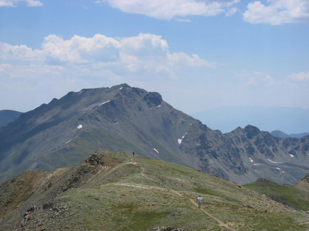

 South Fork South Platte RiverCanoeingPhoto: Jeffrey Beall, CC BY 3.0 (via Wikimedia Commons)7 mi
Source: Roamze catalog (indexable pages within 10 miles, PostGIS distance)
East Buffalo PeakSummit · ~1 min drivePhoto: Jeffrey Beall, CC BY 4.0 (via Wikimedia Commons)Mount ColumbiaSummit · ~19 min drivePhoto: David Herrera from Albuquerque, NM, Bernalillo, CC BY 2.0 (via Wikimedia Commons)Mount HarvardSummit · ~20 min drivePhoto: jokermanj, CC BY 2.0 (via Wikimedia Commons)Mount OxfordSummit · ~20 min drivePhoto: David Herrera from Albuquerque, NM, Bernalillo, CC BY 2.0 (via Wikimedia Commons) Mount BelfordSummit · ~22 min drivePhoto: Simpsora, CC BY 3.0 (via Wikimedia Commons)
 Castle RockSummit · ~24 min drivePhoto: Jeffrey Beall, CC BY 4.0 (via Wikimedia Commons)
 Horseshoe MountainSummit · ~24 min drivePhoto: Jeffrey Beall, CC BY 4.0 (via Wikimedia Commons)
 Missouri MountainSummit · ~24 min drivePhoto: jokermanj, CC BY 2.0 (via Wikimedia Commons)
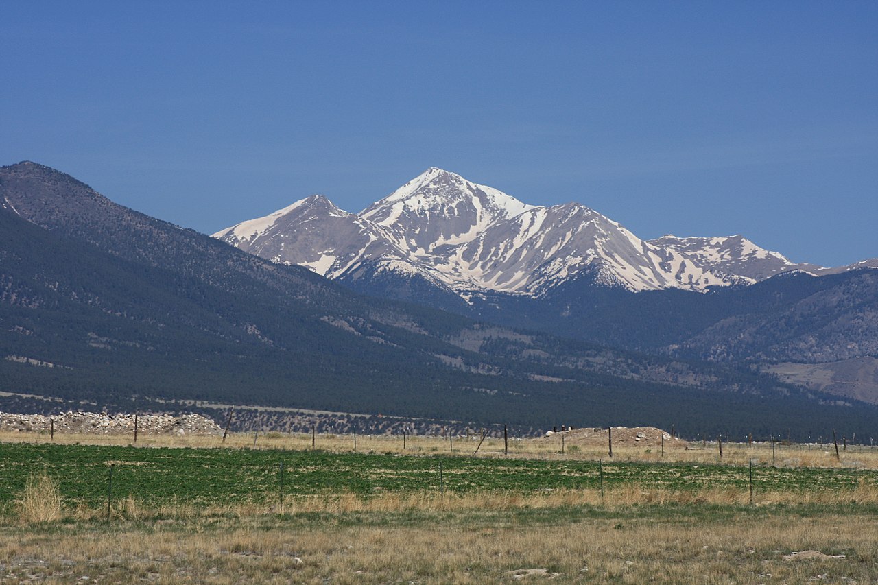 Mount YaleSummit · ~25 min drivePhoto: David Herrera from Albuquerque, NM, Bernalillo, CC BY 2.0 (via Wikimedia Commons)
 Emerald PeakSummit · ~25 min drivePhoto: Jeremiah LaRocco, CC BY-SA 2.0 (via Wikimedia Commons)
