Chalk Lake
Campground
Campground · 2.6 mi from the trail
 Photo: David Herrera from Albuquerque, NM, Bernalillo, CC BY 2.0 (via Wikimedia Commons)
Alert in the area
The Forest Service lists 7 alerts for Pike and San Isabel National Forests.
FSR 286, Radical Hill, is closed due to washouts and unsafe conditions
Agency alert covering Pike and San Isabel National Forests · USFS · Pike and San Isabel National Forests
Interlaken Hotel Tree Hazards
Agency alert covering Pike and San Isabel National Forests · USFS · Pike and San Isabel National Forests
Sharpe Fire Update
Agency alert covering Pike and San Isabel National Forests · USFS · Pike and San Isabel National Forests
Turquoise Lake Road (County Road 4) Closure
Agency alert covering Pike and San Isabel National Forests · USFS · Pike and San Isabel National Forests
Food Storage Prohibitions on Pike-San Isabel National Forests
Agency alert covering Pike and San Isabel National Forests · Order 02-12-00-23-07 · USFS · Pike and San Isabel National Forests
As of · Source: USFS · Pike and San Isabel National Forests. Agencies don't list every closure — check before you go.
Mount Princeton is a summit in Colorado's Salida Ranger District, part of the Pike and San Isabel National Forests, which the Forest Service manages. The nearest town is Buena Vista, about 8 miles away. The Mt. Princeton hike lies less than a mile away. Within a few miles you'll also find Tigger Peak, Cat Scratch Wall for climbing, and Chalk Lake, which has a campground and a fishing site.
Chalk Lake
Campground
Evans Firewall & Savard Building
Museum
Places © OpenStreetMap contributors, Places © Overture Maps Foundation
More in PitkinDaily highs and lows, wind and the chance of precipitation at the summit and mt. princeton road trailhead for the next 7 days, from the Open-Meteo model.
Elevation from USGS 3D Elevation Program terrain data (about 10 m resolution).
| Mount Princeton | Mt. Princeton | |
|---|---|---|
| Starts at | Mt. Princeton Road Trailhead | — |
| Climbing | About 4,568 ft | About 1,972 ft |
| Round trip | 10.1 mi | 4.0 mi |
| Difficulty | Expert | Hard |
| Terrain | Hike | Hike |
| Season | — | Year-round |
14,197 ft (4,327 m).
2: Mount Princeton and Mt. Princeton.
Mt. Princeton, about 4.0 mi round trip.
Mount Princeton starts at Mt. Princeton Road Trailhead (about 9,804 ft).
Year-round.


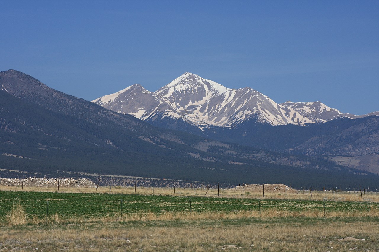

 Mt. PrincetonHikingPhoto: kalestews, CC BY 2.0 (via Flickr)0.7 miTigger PeakHikingPhoto: kalestews, CC BY 2.0 (via Flickr)2.3 mi
 Chalk Creek Boulder aka Boulder of SorrowRock climbingPhoto: oxtopus, CC BY 2.0 (via Flickr)2.3 mi
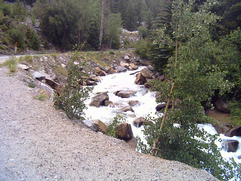 Chalk CreekCanoeingPhoto: LanceBarber, CC BY-SA 3.0 (via Wikimedia Commons)2.4 mi
Source: Roamze catalog (indexable pages within 10 miles, PostGIS distance)
Mount AnteroSummit · ~9 min drivePhoto: David Herrera from Albuquerque, NM, Bernalillo, CC BY 2.0 (via Wikimedia Commons)Mount WhiteSummit · ~11 min drivePhoto: David Herrera, CC BY 2.0 (via Wikimedia Commons)Cronin PeakSummit · ~12 min drivePhoto: John Sowell, CC BY-SA 4.0 (via Wikimedia Commons)Mount YaleSummit · ~13 min drivePhoto: David Herrera from Albuquerque, NM, Bernalillo, CC BY 2.0 (via Wikimedia Commons)Jones MountainSummit · ~14 min drivePhoto: Roy Luck, CC BY 2.0 (via Wikimedia Commons) Tabeguache PeakSummit · ~15 min drivePhoto: John Sowell, CC BY-SA 4.0 (via Wikimedia Commons)
 Carbonate MountainSummit · ~15 min drivePhoto: John Sowell, CC BY-SA 4.0 (via Wikimedia Commons)
 Turner PeakSummit · ~15 min drivePhoto: Roy Luck, CC BY 2.5 (via Wikimedia Commons)
 Emma Burr MountainSummit · ~16 min drivePhoto: Jeremy White, CC BY 2.0 (via Wikimedia Commons)
 Mount ColumbiaSummit · ~19 min drivePhoto: David Herrera from Albuquerque, NM, Bernalillo, CC BY 2.0 (via Wikimedia Commons)
Also worth it near here
 Agnes Vaille FallsWaterfall · ~3 min drivePhoto: Fredlyfish4, CC BY-SA 3.0 (via Wikimedia Commons)Chalk Creek Boulder aka Boulder of SorrowRock climbing · ~4 min drivePhoto: oxtopus, CC BY 2.0 (via Flickr)Chalk CreekCanoeing · ~4 min drivePhoto: LanceBarber, CC BY-SA 3.0 (via Wikimedia Commons)
