Hunts Peak
 Photo: Jeffrey Beall, CC BY-SA 2.0 (via Wikimedia Commons)
- 13,057 ft
- summit
- 1
- way up
- Forest Service
- managed by
Is Hunts Peak open right now?
Alert in the area
The Forest Service lists 7 alerts for Pike and San Isabel National Forests.
FSR 286, Radical Hill, is closed due to washouts and unsafe conditions
Agency alert covering Pike and San Isabel National Forests · USFS · Pike and San Isabel National Forests
Interlaken Hotel Tree Hazards
Agency alert covering Pike and San Isabel National Forests · USFS · Pike and San Isabel National Forests
Sharpe Fire Update
Agency alert covering Pike and San Isabel National Forests · USFS · Pike and San Isabel National Forests
Turquoise Lake Road (County Road 4) Closure
Agency alert covering Pike and San Isabel National Forests · USFS · Pike and San Isabel National Forests
Food Storage Prohibitions on Pike-San Isabel National Forests
Agency alert covering Pike and San Isabel National Forests · Order 02-12-00-23-07 · USFS · Pike and San Isabel National Forests
As of · Source: USFS · Pike and San Isabel National Forests. Agencies don't list every closure — check before you go.
Hunts Peak is a summit of about 13,057 feet in Fremont County, Colorado, inside the Sangre de Cristo Wilderness. The peak lies within the Salida Ranger District of the Pike and San Isabel National Forests, which the Forest Service manages. The nearest town is Howard, about 6 miles away. The Sangre de Cristo Wilderness covers the summit. Hunts Lake is about 3 miles away, and Bushnell Peak is about 4 miles off. For an overnight base, Rincon Campground and Point Barr are both within about 7 miles.
Conditions and forecast
Daily highs and lows, wind and the chance of precipitation at the summit and bear creek rainbow trail parking for the next 7 days, from the Open-Meteo model.
- Summit elevation
- 13,057 ft
- Land manager
- Forest Service
Elevation from USGS 3D Elevation Program terrain data (about 10 m resolution).
- Hunts PeakExpertFrom Bear Creek Rainbow Trail Parking · about 6,840 ft of climbing18.6 mi round trip
Map © Mapbox © OpenStreetMap contributors Questions about Hunts Peak
How tall is Hunts Peak?
13,057 ft (3,980 m).
How many routes go to the summit of Hunts Peak?
One: Hunts Peak.
Where do the routes up Hunts Peak start?
Hunts Peak starts at Bear Creek Rainbow Trail Parking.
 Bushnell Peak13,106 ft · Colorado1 route4.2 mi awayPhoto: Jeffrey Beall, CC BY-SA 2.5 (via Wikimedia Commons)
- Tenderfoot Hill7,567 ft · Colorado2 routes11 mi away
- Cottonwood Peak13,591 ft · Colorado1 route15 mi away
 Mount Ouray13,977 ft · Colorado1 route15 mi awayPhoto: David Herrera from Albuquerque, NM, Bernalillo, CC BY 2.5 (via Wikimedia Commons)
 Chipeta Mountain13,490 ft · Colorado1 route17 mi awayPhoto: Jbsco, CC BY-SA 4.0 (via Wikimedia Commons)
- Lakes Peak13,381 ft · Colorado1 route17 mi away
- Hunts LakeHiking2.8 mi
- Bushnell PeakHiking3.8 mi
- Simmons PeakMountain biking4 mi
- Stout Creek LakesHiking4.8 mi
- Point BarrCamping7.3 mi
- Rincon CampgroundCamping7.4 mi
- Black Bear RV ResortCamping7.5 mi
- Hayden Creek CampgroundCamping7.6 mi
Source: Roamze catalog (indexable pages within 10 miles, PostGIS distance)
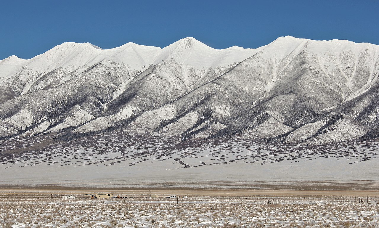 Mount OttoSummit · ~9 min drivePhoto: Jeffrey Beall, CC BY-SA 2.5 (via Wikimedia Commons)
 Galena PeakSummit · ~11 min drivePhoto: Jeffrey Beall, CC BY-SA 2.0 (via Wikimedia Commons)
- Mount OuraySummit · ~26 min drivePhoto: David Herrera from Albuquerque, NM, Bernalillo, CC BY 2.5 (via Wikimedia Commons)
- Chipeta MountainSummit · ~28 min drivePhoto: Jbsco, CC BY-SA 4.0 (via Wikimedia Commons)
 Tabeguache PeakSummit · ~40 min drivePhoto: John Sowell, CC BY-SA 4.0 (via Wikimedia Commons)
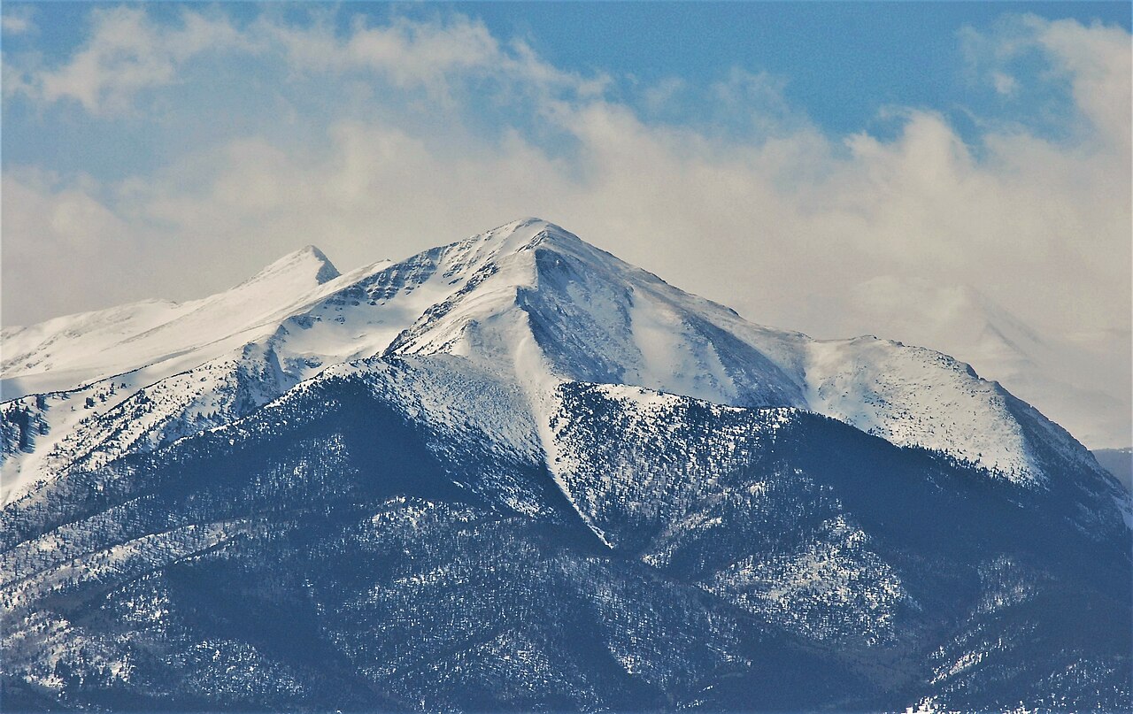 Spread Eagle PeakSummit · ~42 min drivePhoto: Thom C, CC BY 3.0 (via Wikimedia Commons)
 Mount WhiteSummit · ~42 min drivePhoto: David Herrera, CC BY 2.0 (via Wikimedia Commons)
 Carbonate MountainSummit · ~43 min drivePhoto: John Sowell, CC BY-SA 4.0 (via Wikimedia Commons)
 Mount AnteroSummit · ~44 min drivePhoto: David Herrera from Albuquerque, NM, Bernalillo, CC BY 2.0 (via Wikimedia Commons)
 Cronin PeakSummit · ~45 min drivePhoto: John Sowell, CC BY-SA 4.0 (via Wikimedia Commons)

