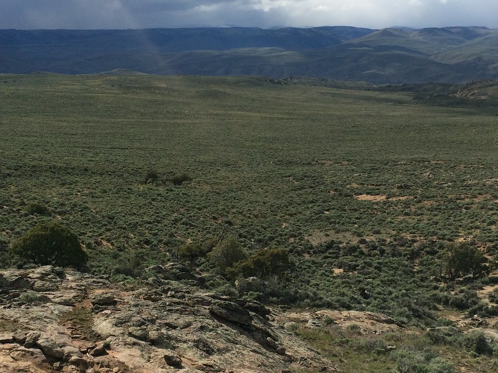
Powerline Road
 Photo: John Sowell, CC BY-SA 4.0 (via Wikimedia Commons)
- 0.1 mi
- distance
- 22 ft
- climb
- 8,289 ft
- high point
- Easy
- difficulty
- Jun–Sep
- best months
Powerline Road is a 0.12-mile ski trail in Colorado managed by the Bureau of Land Management.
Local outfitters
- SUP Marble44 mi away
- Cedar Creek RV Park and Lodging49 mi away
Not on Roamze yet. Their page has how to reach them.
- Nearby · Powerline Connector Road · Dirty Socks Connector Road · Kill Hill Road
Best time to go · Jun–Sep
Best time to visit Powerline Road
Best months: June–September. Best months have typical highs of 55–85 °F, lows of 30 °F or warmer (32 °F where the station doesn't record snow), at most one snowy day and no more than 12 wet days.
Jan
26° / -6°
7 wet
Feb
30° / 1°
6 wet
Mar
44° / 14°
5 wet
Apr
56° / 23°
5 wet
May
66° / 30°
6 wet
Jun
76° / 36°
6 wet
Jul
80° / 44°
10 wet
Aug
77° / 43°
11 wet
Sep
70° / 34°
9 wet
Oct
60° / 22°
6 wet
Nov
44° / 11°
5 wet
Dec
28° / -3°
7 wet
Typical high / low (°F) and days with rain or snow, 1991–2020. Measured at Gunnison 3sw, CO, 4 mi away at 7,622 ft. The station sits about 700 ft lower than this place, so expect it a little cooler here. This station doesn't record snowfall. Source: NOAA NCEI U.S. Climate Normals 1991–2020.
Keep exploring — more snow worth the drive
Photo: John Sowell, CC BY-SA 4.0 (via Wikimedia Commons)Powerline Connector Road
~1 min drive
1.73-mile route in Colorado with 205 ft elevation gain.
Photo: John Sowell, CC BY-SA 4.0 (via Wikimedia Commons)Dirty Socks Connector Road
~1 min drive
1.14-mile connector road in Colorado with 38 ft of elevation gain.
 Photo: Mshuang2, CC0 (via Wikimedia Commons)
Kill Hill Road
~4 min drive
Kill Hill Road is a 0.22-mile trail in Colorado with 132 feet of elevation gain.
 Photo: John Sowell, CC BY-SA 4.0 (via Wikimedia Commons)
Railroad Ski
~41 min drive
Railroad Ski is a 0.99-mile route in Colorado with 464 feet of elevation gain.
SEE
Cranor Hill Municipal Ski Hill
~15 min drive
Cranor Hill Municipal Ski Hill in Colorado has 3 runs (easy to advanced) with 333 ft vertical.
 Photo: Helimedic39, CC BY-SA 3.0 (via Wikimedia Commons)
Skyland Cc
~47 min drive
1.33-mile cross-country ski trail in Colorado with 141 ft of elevation gain.
 Photo: Matt Lavin, CC BY-SA 2.0 (via Wikimedia Commons)
Main Street Road
~2 min drive
0.87-mile trail in Colorado with 19 ft of elevation gain.
SKI
Waunita Pass Sno
~43 min drive
17.80-mile ski trail in Colorado with 1,135 ft of elevation gain.
Photo: Helimedic39, CC BY-SA 3.0 (via Wikimedia Commons)Teocalli
~47 min drive
0.69-mile cross-country ski trail in Colorado with 25 ft of elevation gain.
 Photo: Earth Science and Remote Sensing Unit, NASA Johnson Space Center, Public domain (via Wikimedia Commons)
Hartman Rocks Drive
~2 min drive
1.36-mile route in Colorado with 82 ft of elevation gain.

Map and trail data © OpenStreetMap contributors
