Dirty Socks Connector Road
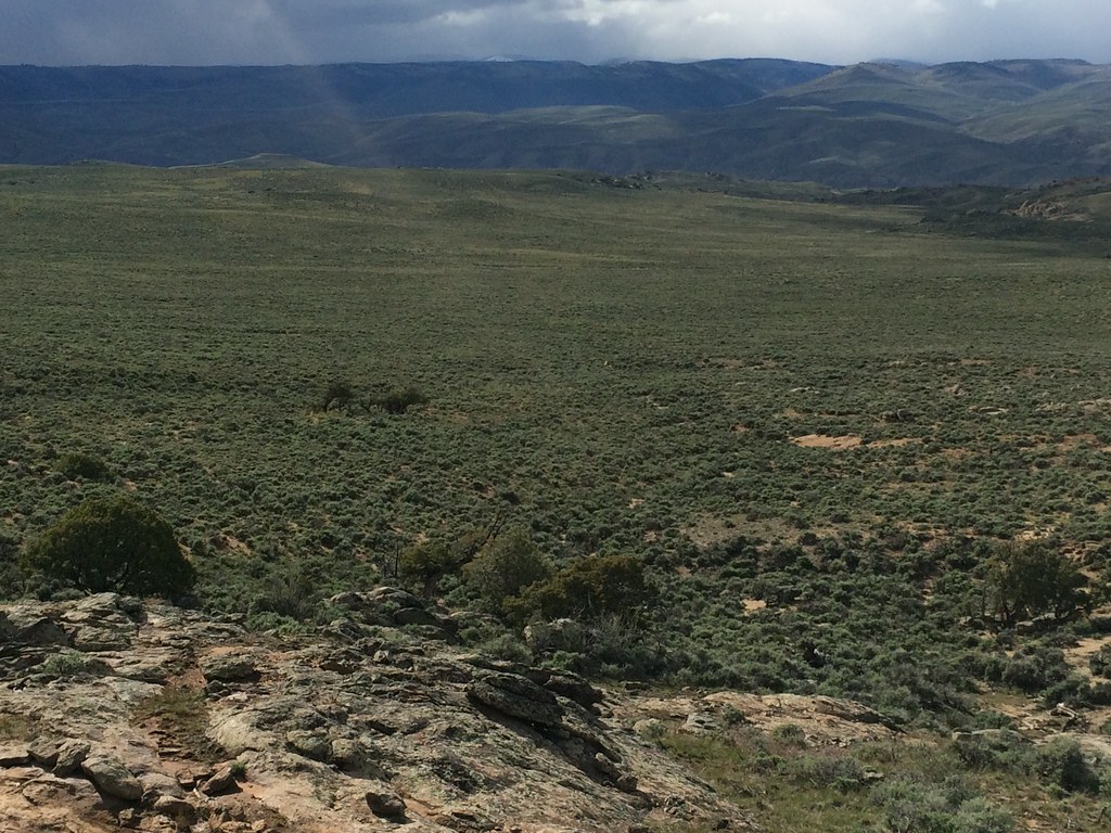
 Photo: John Sowell, CC BY-SA 4.0 (via Wikimedia Commons)
- 1.1 mi
- distance
- 246 ft
- climb
- 8,162 ft
- high point
- Easy
- difficulty
- Jun–Sep
- best months
Dirty Socks Connector Road is a short, easy cross-country ski route on Bureau of Land Management land in Colorado's Gunnison Field Office, about 1.1 miles long with a total elevation gain of 246 feet. The road rises from a low point of 7,902 feet to a high of 8,162 feet, and the steepest stretch comes at about 0.7 miles in, with a 7% grade. Winter is the natural season for this route. Typical averages from a nearby weather station in Gunnison, which sits about 540 feet lower, show January highs around 26°F with lows near -6°F, while July and August run warmer, with highs in the upper 70s and lows in the low 40s. Powerline Connector Road lies just 0.1 mile away, and the Skyline and Sky Line mountain biking routes are within half a mile. Climbers can head to Hartman Rocks, about 1.7 miles off.
Local outfitters
- SUP Marble43 mi away
- Cedar Creek RV Park and Lodging48 mi away
Not on Roamze yet. Their page has how to reach them.
Best time to go · Jun–Sep
Best time to visit Dirty Socks Connector Road
Best months: June–September. Best months have typical highs of 55–85 °F, lows of 30 °F or warmer (32 °F where the station doesn't record snow), at most one snowy day and no more than 12 wet days.
Jan
26° / -6°
7 wet
Feb
30° / 1°
6 wet
Mar
44° / 14°
5 wet
Apr
56° / 23°
5 wet
May
66° / 30°
6 wet
Jun
76° / 36°
6 wet
Jul
80° / 44°
10 wet
Aug
77° / 43°
11 wet
Sep
70° / 34°
9 wet
Oct
60° / 22°
6 wet
Nov
44° / 11°
5 wet
Dec
28° / -3°
7 wet
Typical high / low (°F) and days with rain or snow, 1991–2020. Measured at Gunnison 3sw, CO, 3.5 mi away at 7,622 ft. The station sits about 500 ft lower than this place, so expect it a little cooler here. This station doesn't record snowfall. Source: NOAA NCEI U.S. Climate Normals 1991–2020.
Keep exploring — more snow worth the drive
Photo: John Sowell, CC BY-SA 4.0 (via Wikimedia Commons)Powerline Road
~1 min drive
Powerline Road is a 0.12-mile ski trail in Colorado.
 Photo: Mshuang2, CC0 (via Wikimedia Commons)
Kill Hill Road
~4 min drive
Kill Hill Road is a 0.22-mile trail in Colorado with 132 feet of elevation gain.
 Photo: John Sowell, CC BY-SA 4.0 (via Wikimedia Commons)
Railroad Ski
~40 min drive
Railroad Ski is a 0.99-mile route in Colorado with 464 feet of elevation gain.
 Photo: Helimedic39, CC BY-SA 3.0 (via Wikimedia Commons)
Skyland Cc
~46 min drive
1.33-mile cross-country ski trail in Colorado with 141 ft of elevation gain.
SEE
Cranor Hill Municipal Ski Hill
~15 min drive
Cranor Hill Municipal Ski Hill in Colorado has 3 runs (easy to advanced) with 333 ft vertical.
Photo: John Sowell, CC BY-SA 4.0 (via Wikimedia Commons)Rattlesnake Junction Road
~1 min drive
1.60-mile route in Colorado with 126 ft of elevation gain.
SKI
Waunita Pass Sno
~43 min drive
17.80-mile ski trail in Colorado with 1,135 ft of elevation gain.
Photo: Helimedic39, CC BY-SA 3.0 (via Wikimedia Commons)Teocalli
~46 min drive
0.69-mile cross-country ski trail in Colorado with 25 ft of elevation gain.
 Photo: Earth Science and Remote Sensing Unit, NASA Johnson Space Center, Public domain (via Wikimedia Commons)
Mccabe To Cottonwood Grove Road
~2 min drive
0.97-mile route in Colorado with 50 ft elevation gain.
SKI
Cunningham Branch Ski
~26 min drive
0.69-mile out-and-back ski route with 182 ft gain in Colorado.

Map and trail data © OpenStreetMap contributors
