Leadville RV Corral
Campground
Campground · 0.6 mi from the trail
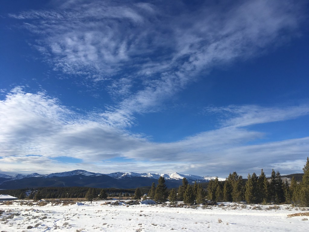 Photo: christinejwarner, CC BY 2.0 (via Flickr)
West Dyer Mountain is a 13,045-foot summit on Bureau of Land Management land in the Royal Gorge Field Office, reached on a route that starts from Leadville, Colorado. The hike is rated expert and runs about 11.9 miles as an out-and-back. Expect about 3,300 feet of climbing one way to the top, or roughly 3,800 feet of gain and the same in loss over the full round trip. The mapped trail stops 0.6 miles short of the summit. That last stretch is off-trail with no mapped path and climbs about 1,200 feet, so it takes route-finding to reach the high point. Hikers who aren't comfortable navigating without a trail should plan to turn around where the mapped path ends. Dyer Mountain sits just 0.1 miles away, and Leadville RV Corral is about 0.6 miles off. The Mineral Belt Trail is around a mile away for riding, and Printer Boy campground lies about 3.3 miles away.
Leadville RV Corral
Campground
Moe's Original Bbq
Barbecue restaurant
 If it rainsCraig Talbert, CC BY 3.0 · Wikimedia Commons
Places © OpenStreetMap contributors, Places © Overture Maps Foundation · Photos: Craig Talbert, CC BY 3.0 (commons)
More in LeadvilleDaily highs and lows, wind and the chance of precipitation at the summit and route start for the next 7 days, from the Open-Meteo model.
Dyer MountainHikingPhoto: christinejwarner, CC BY 2.0 (via Flickr)0.1 mi Tennessee CreekCanoeingPhoto: Jeffrey Beall, CC BY 3.0 (via Wikimedia Commons)4.7 mi
Source: Roamze catalog (indexable pages within 10 miles, PostGIS distance)
 BodfishHiking · ~6 min drivePhoto: markbyzewski, CC BY 2.0 (via Flickr)Dyer MountainHiking · ~10 min drivePhoto: christinejwarner, CC BY 2.0 (via Flickr)
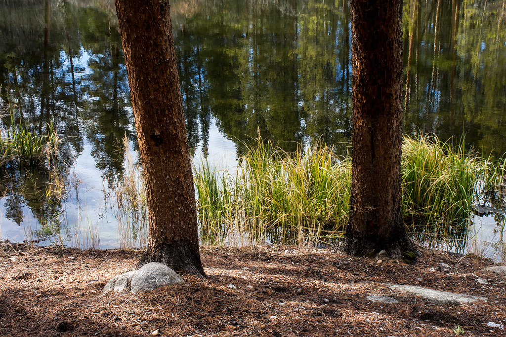 Rock CreekHiking · ~11 min drivePhoto: markbyzewski, CC BY 2.0 (via Flickr)
 Mount EvansHiking · ~13 min drivePhoto: QKC, CC BY-SA 3.0 (via Wikimedia Commons)Turquoise Lake NatureHiking · ~6 min drivePhoto: markbyzewski, CC BY 2.0 (via Flickr)
 Busk Creek TrailHiking · ~14 min drivePhoto: Altitude10k, CC BY 2.0 (via Flickr)
 Mount Sherman from Iowa GulchHiking · ~11 min drivePhoto: foto3116, CC BY 2.0 (via Flickr)
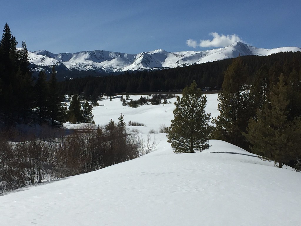 Treeline Loop Ski TrailHiking · ~13 min drivePhoto: C. K. Hartman, CC BY 2.0 (via Flickr)GLACIER CREEK/SKINNER HUTHiking · ~15 min drivePhoto: Altitude10k, CC BY 2.0 (via Flickr)
 Mount Sherman - Southwest Ridge from Fourmile CreekHiking · ~12 min drivePhoto: jl_2, CC BY-SA 2.0 (via Flickr)
About 11.9 mi round trip from Leadville.
About 3,772 ft of climbing round trip.
It is rated expert.
Leadville.
© openrouteservice.org by HeiGIT | Map data © OpenStreetMap contributors


