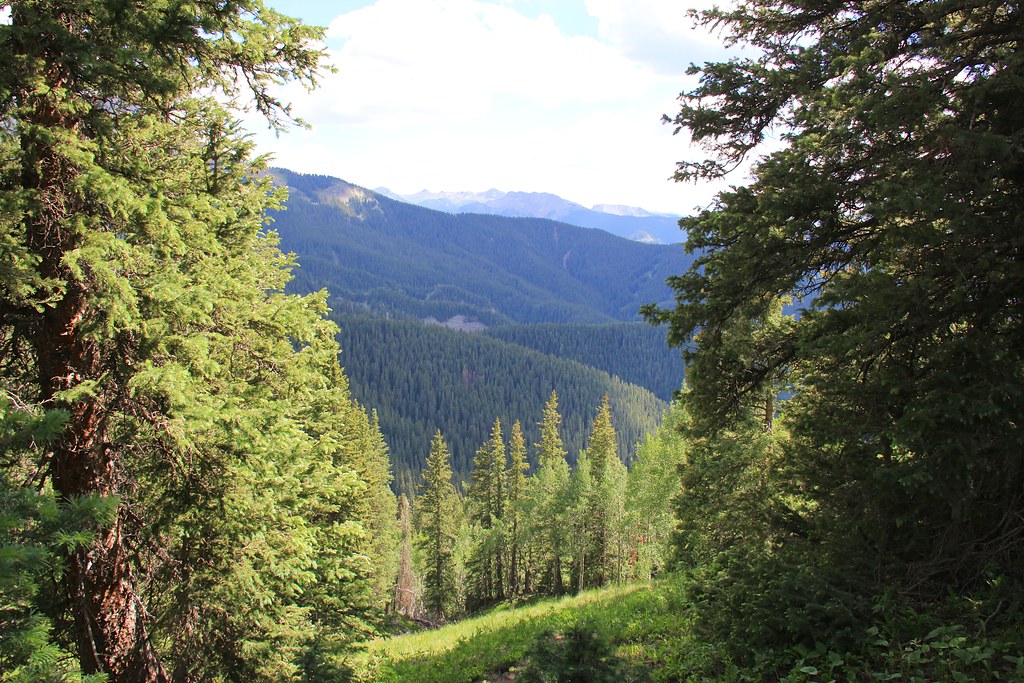
Wetterhorn Trail Boulders
Wetterhorn Trail Boulders in Colorado has 9 routes spanning 6 difficulty grades.
- 9 routes
- V0 – V7
- Bouldering
Is Wetterhorn Trail Boulders open right now?
Closure in the area
There's a closure order in Grand Mesa, Uncompahgre and Gunnison National Forests. It doesn't name Wetterhorn Trail Boulders, so check the source for the area it covers (2 listed).
Gold Mountain Wildfire Roads and Trails Closure Order v 4.0
Agency closure covering Grand Mesa, Uncompahgre and Gunnison National Forests · USFS · Grand Mesa, Uncompahgre and Gunnison National Forests
Ophir Pass Road Closure
Agency closure covering Grand Mesa, Uncompahgre and Gunnison National Forests · USFS · Grand Mesa, Uncompahgre and Gunnison National Forests
TERMINATION OF ORDER - FIRE RESTRICTIONS
Agency alert covering Grand Mesa, Uncompahgre and Gunnison National Forests · USFS · Grand Mesa, Uncompahgre and Gunnison National Forests
Dallas Area Closure order
Agency alert covering Grand Mesa, Uncompahgre and Gunnison National Forests · USFS · Grand Mesa, Uncompahgre and Gunnison National Forests
Island Lake Road Closure
Agency alert covering Grand Mesa, Uncompahgre and Gunnison National Forests · USFS · Grand Mesa, Uncompahgre and Gunnison National Forests
As of · Source: USFS · Grand Mesa, Uncompahgre and Gunnison National Forests. Agencies don't list every closure — check before you go.
Wetterhorn Trail Boulders is a bouldering area in the Uncompahgre Wilderness, within the Ouray Ranger District of the Grand Mesa, Uncompahgre and Gunnison National Forests in Colorado. The Forest Service manages the land, and the boulders sit among the wilderness's crags and trails. The area holds nine bouldering routes, all rated on the V scale from V0 to V7. The easiest is Puppy Treats at V0, and the hardest is Used Up 'n' Tossed Out at V7. The median grade runs V3-4. Brice Lang and Matt Price are among the climbers who have left their mark on the routes. Wetterhorn Basin is about a mile away, and Coxcomb Peak and the Coxcomb hike are each about 1.5 miles off. For an overnight stay, West Fork Cimarron Dispersed campground lies roughly 2.9 miles away.
Keep exploring — more climbs worth the drive
 Photo: Sale Family Memories, CC BY 2.0 (via Flickr)
Ouray (Ice/Mixed)
~14 min drive
Ouray (Ice/Mixed) is a mixed climbing area in Colorado with 1 route.
Coxcomb Peak
~3 min drive
Route to the summit of Coxcomb Peak (13,612 ft) from West Fork Cimarron River Trailhead.
 Photo: ranok, CC BY 2.0 (via Flickr)
Camp Bird Mine Rd/Mountain Rescue Cache Crag
~15 min drive
Camp Bird Mine Rd/Mountain Rescue Cache Crag in Colorado has 6 mixed climbing routes.
 Photo: Jacob Montgomery, CC BY-SA 3.0 (via Wikimedia Commons)
Uncompahgre Gorge aka Ouray Ice Park
~15 min drive
2 trad routes at Uncompahgre Gorge / Ouray Ice Park in Colorado.
 Photo: markbyzewski, CC BY 2.0 (via Flickr)
Five Fingers area
~15 min drive
Five Fingers area in Colorado has 5 climbing routes with 2 difficulty grades.
 Photo: Jacob Montgomery, CC BY-SA 3.0 (via Wikimedia Commons)
Jimmy Cliff
~15 min drive
Jimmy Cliff in Colorado has 12 sport climbing routes across 7 difficulty grades.
 Photo: markbyzewski, CC BY 2.0 (via Flickr)
Randall's Badger Sanctuary aka Spider Den
~15 min drive
Randall's Badger Sanctuary (Spider Den) in Colorado has 7 sport routes rated from 5.10a to 5.12c.
 Photo: Greg Willis from Denver, CO, usa, CC BY-SA 2.0 (via Wikimedia Commons)
Overlook Cliff
~15 min drive
Overlook Cliff in Colorado has 32 sport climbing routes across 16 difficulty grades.
 Photo: Ken Lund, CC BY-SA 2.0 (via Flickr)
Ouray vicinity (rock)
~16 min drive
Ouray vicinity (rock) in Colorado has 21 climbing routes across 14 grades.
 Photo: iagoarchangel, CC BY-SA 2.0 (via Flickr)
Technicolor Wall aka Techno Crag
~16 min drive
Technicolor Wall (Techno Crag) in Colorado has 11 sport routes with 9 difficulty grades.