Ouray RV park
Campground
Campground · 1.3 mi from the trail
Closure in the area
There's a closure order in Grand Mesa, Uncompahgre and Gunnison National Forests. It doesn't name Horsethief Trail (215), so check the source for the area it covers (2 listed).
Gold Mountain Wildfire Roads and Trails Closure Order v 4.0
Agency closure covering Grand Mesa, Uncompahgre and Gunnison National Forests · USFS · Grand Mesa, Uncompahgre and Gunnison National Forests
Ophir Pass Road Closure
Agency closure covering Grand Mesa, Uncompahgre and Gunnison National Forests · USFS · Grand Mesa, Uncompahgre and Gunnison National Forests
Potter Basin Road Closure Order
Agency alert covering Grand Mesa, Uncompahgre and Gunnison National Forests · USFS · Grand Mesa, Uncompahgre and Gunnison National Forests
Beaver Park Road Closure Order
Agency alert covering Grand Mesa, Uncompahgre and Gunnison National Forests · USFS · Grand Mesa, Uncompahgre and Gunnison National Forests
TERMINATION OF ORDER - FIRE RESTRICTIONS
Agency alert covering Grand Mesa, Uncompahgre and Gunnison National Forests · USFS · Grand Mesa, Uncompahgre and Gunnison National Forests
As of · Source: USFS · Grand Mesa, Uncompahgre and Gunnison National Forests. Agencies don't list every closure — check before you go.
Horsethief Trail (215) is a mountain biking route in Colorado's Ouray Ranger District, part of the Grand Mesa, Uncompahgre and Gunnison National Forests. The Forest Service manages the land. The trail stretches about 3.5 miles, climbing from a starting point near 10,383 feet to a high of 11,833 feet, with a total elevation gain of 1,425 feet. That puts the top of the climb roughly 1,400 feet above the trailhead. The route also carries a net descent of about 1,650 feet, which means riders will drop roughly 1,650 feet from the top back to the trailhead. The trail's low point sits at about 9,300 feet, so the full trip includes both a climb and a longer descent. The Horsethief trail lies just half a mile away and offers another biking option close by. The Horsethief Trial hike starts within a mile. Climbers can head to the Ouray Rotary Park-Rink Wall, about a mile off, and Ouray RV Park is about 1.3 miles away for an overnight stay.
Ouray RV park
Campground
Smuggler Union Tramhouse
Attraction
Places © OpenStreetMap contributors
More in TellurideNot on Roamze yet. Their page has how to reach them.
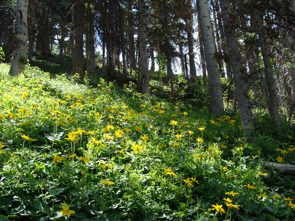 Horsethief TrialHikingPhoto: iagoarchangel, CC BY-SA 2.0 (via Flickr)0.7 mi
Source: Roamze catalog (indexable pages within 10 miles, PostGIS distance)
 Alpine MineMountain biking · ~7 min drivePhoto: Greg Willis from Denver, CO, usa, CC BY-SA 2.0 (via Wikimedia Commons)
 Bear Creek-South ForkMountain biking · ~9 min drivePhoto: robert thigpen from diboll, texas, CC BY-SA 2.0 (via Wikimedia Commons)
 Middle CanyonMountain biking · ~11 min drivePhoto: John Sowell, CC BY-SA 4.0 (via Wikimedia Commons)
 HaydenMountain biking · ~8 min drivePhoto: Sandy Horvath-Dori from Grand Junction, CO, USA, CC BY 2.0 (via Wikimedia Commons)
Also worth it near here
Map and trail data © OpenStreetMap contributors

