Teocalli Ridge Trail 557
- 5.0 mi
- distance
- 2,134 ft
- climb
Caution at last check
Agency alerts are in effect for this area; weather is good · USFS, OpenWeather · checked 21 h ago
Is Teocalli Ridge Trail 557 open right now?
Closure in the area
There's a closure order in Grand Mesa, Uncompahgre and Gunnison National Forests. It doesn't name Teocalli Ridge Trail 557, so check the source for the area it covers (2 listed).
Gold Mountain Wildfire Roads and Trails Closure Order v 4.0
Agency closure covering Grand Mesa, Uncompahgre and Gunnison National Forests · USFS · Grand Mesa, Uncompahgre and Gunnison National Forests
Ophir Pass Road Closure
Agency closure covering Grand Mesa, Uncompahgre and Gunnison National Forests · USFS · Grand Mesa, Uncompahgre and Gunnison National Forests
Potter Basin Road Closure Order
Agency alert covering Grand Mesa, Uncompahgre and Gunnison National Forests · USFS · Grand Mesa, Uncompahgre and Gunnison National Forests
Beaver Park Road Closure Order
Agency alert covering Grand Mesa, Uncompahgre and Gunnison National Forests · USFS · Grand Mesa, Uncompahgre and Gunnison National Forests
TERMINATION OF ORDER - FIRE RESTRICTIONS
Agency alert covering Grand Mesa, Uncompahgre and Gunnison National Forests · USFS · Grand Mesa, Uncompahgre and Gunnison National Forests
As of · Source: USFS · Grand Mesa, Uncompahgre and Gunnison National Forests. Agencies don't list every closure — check before you go.
Teocalli Ridge Trail 557 is a mountain biking route in the Gunnison Ranger District of the Grand Mesa, Uncompahgre and Gunnison National Forests in Colorado, managed by the Forest Service. The trail is about 5 miles long, with a one-way climb of 2,134 feet from a starting elevation of about 11,122 feet to a high point of about 11,289 feet. The route also descends roughly 2,515 feet, and the steepest stretch comes at about 3.6 miles in, where the grade reaches 45%. The trail begins near the top of the route, so riders should plan for a descent as well as an ascent. Campsite WB 6 is about half a mile away, and West Brush Creek Camping Area is under a mile off, making it easy to base a trip here. West Brush Creek Snowmo/ski and Brush Creek Ski are both within about a mile and are also mountain biking routes.
Local outfitters
- Valley Mobile RV Park39 mi away
- Monarch Spur RV Park44 mi away
Not on Roamze yet. Their page has how to reach them.
- Campsite WB 6Camping0.5 mi
- West Brush Creek Camping AreaCamping0.8 mi
 West Brush Creek Snowmo/skiMountain bikingPhoto: James St. John, CC BY 2.0 (via Wikimedia Commons)0.9 mi
- Brush Creek SkiMountain biking1.1 mi
- Brush CreekCanoeing1.8 mi
- Skyland BouldersRock climbing5.5 mi
- Battleship BoulderRock climbing5.5 mi
 Slate RiverCanoeingPhoto: Jeffrey Beall, CC BY 3.0 (via Wikimedia Commons)7.1 mi
Source: Roamze catalog (indexable pages within 10 miles, PostGIS distance)
- West Brush Creek Snowmo/skiMountain biking · ~1 min drivePhoto: James St. John, CC BY 2.0 (via Wikimedia Commons)
- Deer CreekMountain biking · ~6 min drivePhoto: James St. John, CC BY 2.0 (via Wikimedia Commons)
- Brush Creek SkiMountain biking · ~2 min drive
- Death PassMountain biking · ~2 min drive
- SideshowMountain biking · ~3 min drive
- Strand HillMountain biking · ~5 min drive
- CanalMountain biking · ~5 min drive
- East RiverMountain biking · ~6 min drive
- upper upper trail 435.1Mountain biking · ~9 min drive
- Upper Upper LoopMountain biking · ~9 min drive
Also worth it near here
 Campsite BC 12Camping · ~2 min drivePhoto: jpaxton, CC BY-SA 3.0 (via Wikimedia Commons)
 Brush Creek ShortcutCross-country skiing · ~2 min drivePhoto: jpaxton, CC BY-SA 3.0 (via Wikimedia Commons)
- Brush CreekCanoeing · ~3 min drive
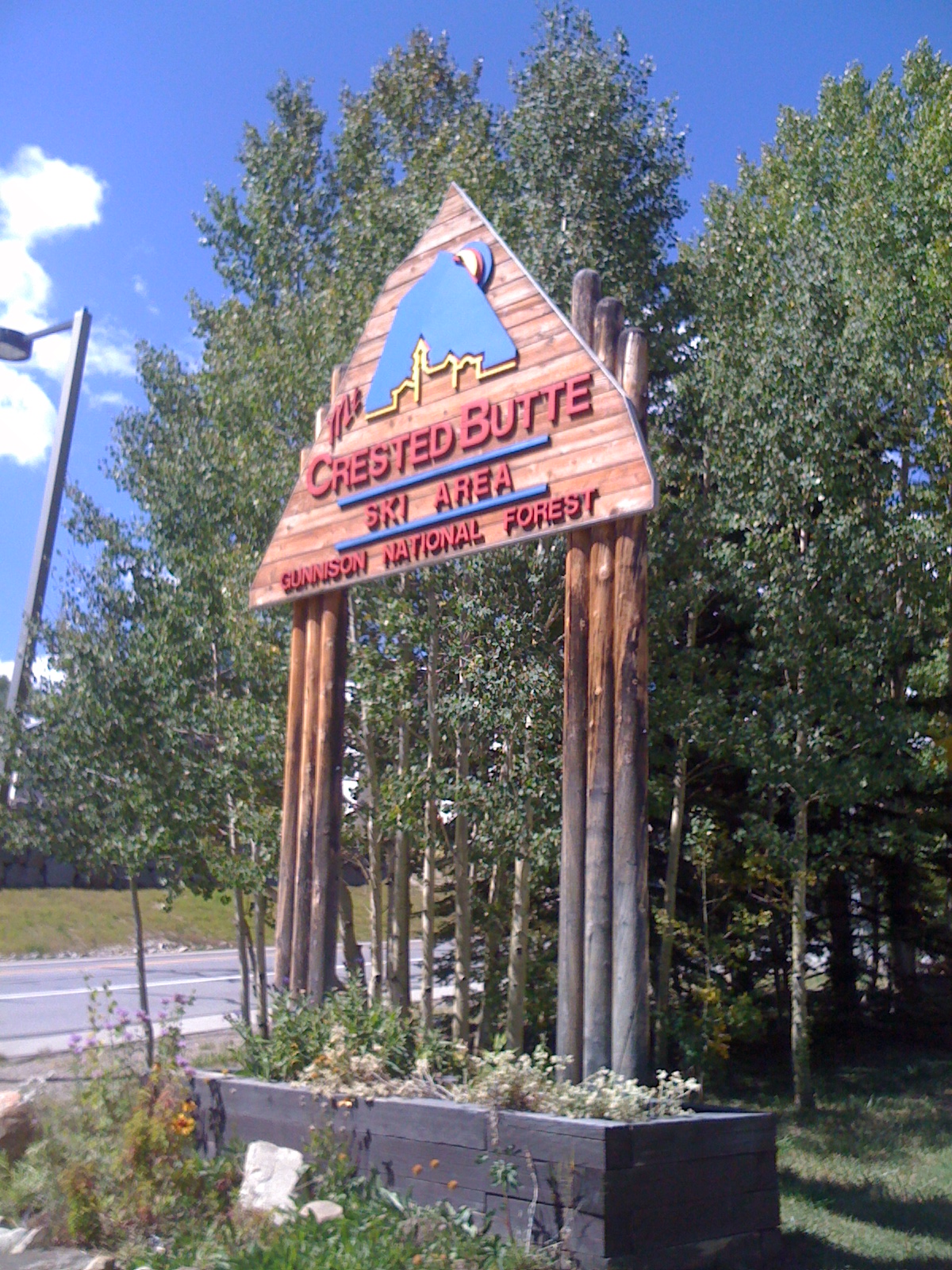 Crested Butte Mountain ResortDownhill skiing · ~7 min drivePhoto: Draconrex, CC BY-SA 3.0 (via Wikimedia Commons)
Map and trail data © OpenStreetMap contributors
