Windy Pass
 Photo: Dicklyon, CC BY-SA 4.0 (via Wikimedia Commons)
- 8.2 mi
- round trip
- 1,888 ft
- climb
- 9,963 ft
- high point
- Out and back
- route
- Jun, Sep
- best months
Windy Pass is a hard hike in the Pagosa Ranger District of the San Juan National Forest in Colorado, managed by the Forest Service. The trail is about 8 miles long, with a one-way climb of roughly 1,900 feet from a low point of about 8,000 feet to a high of nearly 10,000 feet. The route is an out-and-back on natural surface, and it is open to both horses and bikes. That makes it a versatile option for riders and pack animals as well as hikers. Summer is the most comfortable time to go. Typical averages from a nearby weather station at a similar elevation show July highs around 72°F with lows near 40°F, while winter highs stay in the mid-30s and lows drop to about 2°F. Several other destinations sit close by. West Fork Winter, a cross-country ski area, is about half a mile away, and the Treasure Falls hike is under a mile off. West Fork Campground is about 1.7 miles away, and the East Fork San Juan River offers canoeing about 4.4 miles from the pass.
- West Fork WinterCross-country skiing0.6 mi
- Treasure FallsHikingPhoto: Dicklyon, CC BY-SA 4.0 (via Wikimedia Commons)0.8 mi
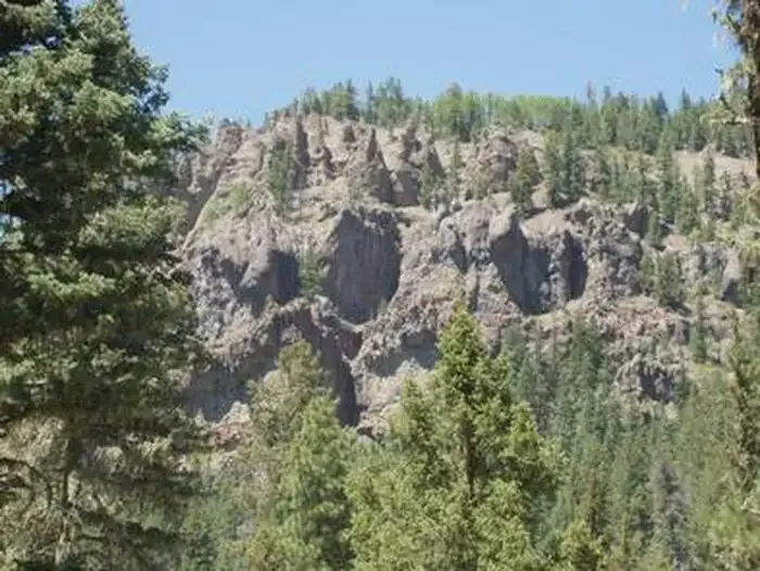 West Fork CampgroundCampingPhoto: Recreation.gov (RIDB) / public domain1.7 mi
 Dispersed campingCampingPhoto: Dicklyon, CC BY-SA 4.0 (via Wikimedia Commons)3.4 mi
- The PillarsRock climbing3.5 mi
 East Fork San Juan RiverCanoeingPhoto: Dicklyon, CC BY-SA 4.0 (via Wikimedia Commons)4.4 mi
- Turkey CreekCanoeing5.4 mi
- Pagosa SpringsRock climbing7.2 mi
Source: Roamze catalog (indexable pages within 10 miles, PostGIS distance)
- OverlookHiking · ~1 min drivePhoto: Dicklyon, CC BY-SA 4.0 (via Wikimedia Commons)
 ArchuletaHiking · ~12 min drivePhoto: JustTooLazy, CC BY 2.0 (via Flickr)
- SawtoothHiking · ~19 min drive
 LoboHiking · ~10 min drivePhoto: Corey Leopold, CC BY 2.0 (via Flickr)
 HighlineHiking · ~23 min drivePhoto: cogdogblog, Public Domain Dedication (CC0) (via Flickr)
- Crater LakeHiking · ~19 min drive
 Big Meadows LoopHiking · ~15 min drivePhoto: JustTooLazy, CC BY 2.0 (via Flickr)
- Coal CreekHiking · ~7 min drive
- Tie HillHiking · ~24 min drive
 Hunters LakeHiking · ~22 min drivePhoto: cogdogblog, Public Domain Dedication (CC0) (via Flickr)
Also worth it near here
 Treasure FallsWaterfall · ~1 min drivePhoto: Ahodges7, CC BY-SA 3.0 (via Wikimedia Commons)
- West Fork CampgroundCamping · ~3 min drive
- East Fork San Juan RiverCanoeing · ~8 min drivePhoto: Dicklyon, CC BY-SA 4.0 (via Wikimedia Commons)
 Wolf Creek Ski AreaDownhill skiing · ~9 min drivePhoto: Jeffrey Beall, CC BY 4.0 (via Wikimedia Commons)
 Connection LoopCross-country skiing · ~10 min drivePhoto: bogdanstepniak, CC BY 3.0 (via Wikimedia Commons)
Best time to visit Windy Pass
Best months: June and September. Best months have typical highs of 55–85 °F, lows of 30 °F or warmer (32 °F where the station doesn't record snow), at most one snowy day and no more than 12 wet days.
Jan
35° / 2°
7 wet
Feb
36° / 3°
7 wet
Mar
42° / 12°
7 wet
Apr
48° / 19°
7 wet
May
58° / 27°
8 wet
Jun
68° / 34°
7 wet
Jul
72° / 40°
15 wet
Aug
70° / 39°
15 wet
Sep
64° / 33°
11 wet
Oct
55° / 23°
7 wet
Nov
43° / 13°
5 wet
Dec
34° / 2°
7 wet
Typical high / low (°F) and days with rain or snow, 1991–2020. Measured at Santa Maria Rsvr, CO, 29.8 mi away at 9,687 ft. This station doesn't record snowfall. Source: NOAA NCEI U.S. Climate Normals 1991–2020.
