West Fork Campground
Campground
Campground · 1.1 mi from the trail
Road closed
US 160: road closure is listed as closed by CDOT 511.
US 160: road closure
Closed · ~0.0 km from West Fork Winter · CDOT 511
Travel is not advised to the San Juan NF
Agency closure covering San Juan National Forest · USFS · San Juan National Forest
Closures and dangerous conditions on roads, bridges, and trails from flooding
Agency closure covering San Juan National Forest · USFS · San Juan National Forest
Multiple roads and trails damaged by flooding on SJNF
Agency closure covering San Juan National Forest · USFS · San Juan National Forest
Bear Activity High Across San Juan National Forest
Agency alert covering San Juan National Forest · USFS · San Juan National Forest
As of · Source: CDOT 511. Agencies don't list every closure — check before you go.
West Fork Winter is a cross-country skiing route in the Pagosa Ranger District of San Juan National Forest in Colorado, managed by the Forest Service. The out-and-back trip covers about 6.2 miles, with a high point of 8,102 feet and a low of 7,816 feet. It is rated hard, so plan on a steady effort for the full length. The most comfortable season for a ski outing is winter, when temperatures at the nearby Creede weather station typically average highs around 33°F with lows near -10°F in January. July is the warmest month, with typical highs near 79°F and lows around 40°F, but those figures come from a station about 522 feet higher than the route's high point, so expect it to run a little warmer. Several other destinations sit close by. Windy Pass and Treasure Falls are both hikes within a mile, West Fork Campground is about 1.1 miles away, and the Pillars climbing area is roughly 3.5 miles off.
West Fork Campground
Campground
Places © Overture Maps Foundation
More in South ForkNot on Roamze yet. Their page has how to reach them.
 Windy PassHikingPhoto: Dicklyon, CC BY-SA 4.0 (via Wikimedia Commons)0.6 miTreasure FallsHikingPhoto: Dicklyon, CC BY-SA 4.0 (via Wikimedia Commons)0.7 mi
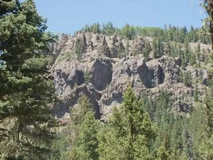 West Fork CampgroundCampingPhoto: Recreation.gov (RIDB) / public domain1.1 mi
 Dispersed campingCampingPhoto: Dicklyon, CC BY-SA 4.0 (via Wikimedia Commons)4 mi
 West Fork San Juan RiverCanoeingPhoto: Jeffrey Beall, CC BY 4.0 (via Wikimedia Commons)4.9 mi
 East Fork San Juan RiverCanoeingPhoto: Dicklyon, CC BY-SA 4.0 (via Wikimedia Commons)4.9 mi
Source: Roamze catalog (indexable pages within 10 miles, PostGIS distance)
 Fun LoopCross-country skiing · ~11 min drivePhoto: bogdanstepniak, CC BY 3.0 (via Wikimedia Commons)
 Wolf Creek Ski AreaDownhill skiing · ~10 min drivePhoto: Jeffrey Beall, CC BY 4.0 (via Wikimedia Commons)Connection LoopCross-country skiing · ~11 min drivePhoto: bogdanstepniak, CC BY 3.0 (via Wikimedia Commons)
 Burnt MeadowCross-country skiing · ~1h 1m drivePhoto: Ken Lund from Reno, Nevada, USA, CC BY-SA 2.0 (via Wikimedia Commons)Campgrounds TrailCross-country skiing · ~1h 2m drivePhoto: Ken Lund from Reno, Nevada, USA, CC BY-SA 2.0 (via Wikimedia Commons)
Also worth it near here
Windy PassHiking · Next doorPhoto: Dicklyon, CC BY-SA 4.0 (via Wikimedia Commons) Treasure FallsWaterfall · ~1 min drivePhoto: Ahodges7, CC BY-SA 3.0 (via Wikimedia Commons)Dispersed Camping near East Fork San Juan River (San Juan National Forest)Camping · ~7 min drivePhoto: Dicklyon, CC BY-SA 4.0 (via Wikimedia Commons)West Fork San Juan RiverCanoeing · ~8 min drivePhoto: Jeffrey Beall, CC BY 4.0 (via Wikimedia Commons)
Best months: June–September. Best months have typical highs of 55–85 °F, lows of 30 °F or warmer (32 °F where the station doesn't record snow), at most one snowy day and no more than 12 wet days.
Jan
33° / -10°
Feb
38° / -4°
Mar
46° / 10°
Apr
54° / 21°
May
63° / 27°
Jun
75° / 32°
Jul
79° / 40°
Aug
75° / 40°
Sep
70° / 32°
Oct
61° / 20°
Nov
46° / 8°
Dec
33° / -8°
Typical high / low (°F) and days with rain or snow, 1991–2020. Measured at Creede Wtp, CO, 27 mi away at 8,624 ft. The station sits about 500 ft higher than this place, so expect it a little warmer here. This station doesn't record snowfall. Source: NOAA NCEI U.S. Climate Normals 1991–2020.
