Big Meadows Campground
Campground
Campground · 0.4 mi from the trail
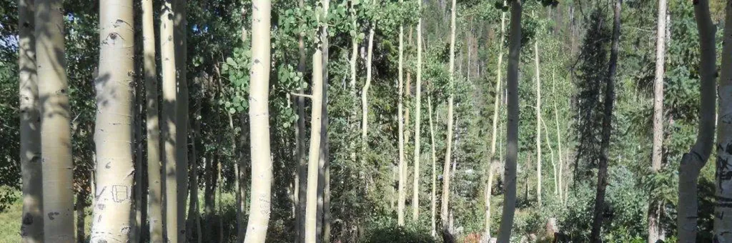
 Photo: JustTooLazy, CC BY 2.0 (via Flickr)
Closure in the area
There's a closure order in Rio Grande National Forest. It doesn't name Big Meadows Loop, so check the source for the area it covers.
Closures and dangerous conditions on roads, bridges, and trails from flooding
Agency closure covering Rio Grande National Forest · USFS · Rio Grande National Forest
As of · Source: USFS · Rio Grande National Forest. Agencies don't list every closure — check before you go.
Big Meadows Loop is a short, easy hike on the Divide Ranger District of Rio Grande National Forest in Colorado, managed by the Forest Service. The trail is about 3 miles long and runs in an out-and-back shape, with a low point of about 9,221 feet and a high of about 9,268 feet. The trail is rated easy, and the climb is gentle, with about 42 feet of elevation gain one way. It's a natural-surfaced route, and bikes are allowed, so it works well for a walk, a ride or a stop on the way to Big Meadows. The most comfortable stretch is late spring through early fall. Typical averages from a nearby weather station run from highs around 62°F in May to about 79°F in July, though July and August bring more wet days. Big Meadows Reservoir Boating Site sits just 0.1 mile away, and Big Meadows Campground is about 0.4 mile off. The South Fork Rio Grande, a canoeing route, is about 0.6 mile away. Climbers will find the Big Meadows climbing area roughly 1.3 miles from the loop.
Big Meadows Campground
Campground
Ramon's Mexican Restaurant
Restaurant
Quiller Gallery
Gallery
Places © OpenStreetMap contributors
More in South ForkNot on Roamze yet. Their page has how to reach them.
 Big Meadows Reservoir Campground (South Central CO)CampingPhoto: Recreation.gov (RIDB) / public domain0.4 mi
 South Fork Rio GrandeCanoeingPhoto: Jeffrey Beall, CC BY 3.0 (via Wikimedia Commons)0.6 mi
 ArchuletaHikingPhoto: JustTooLazy, CC BY 2.0 (via Flickr)1.7 mi
Source: Roamze catalog (indexable pages within 10 miles, PostGIS distance)
ArchuletaHiking · ~3 min drivePhoto: JustTooLazy, CC BY 2.0 (via Flickr) LoboHiking · ~6 min drivePhoto: Corey Leopold, CC BY 2.0 (via Flickr)
 HighlineHiking · ~10 min drivePhoto: cogdogblog, Public Domain Dedication (CC0) (via Flickr)
 Hunters LakeHiking · ~9 min drivePhoto: cogdogblog, Public Domain Dedication (CC0) (via Flickr)
 Windy PassHiking · ~15 min drivePhoto: Dicklyon, CC BY-SA 4.0 (via Wikimedia Commons)OverlookHiking · ~14 min drivePhoto: Dicklyon, CC BY-SA 4.0 (via Wikimedia Commons)
 RaspberryHiking · ~15 min drivePhoto: dsearls, CC BY 2.0 (via Flickr)
Best months: June–July and September. Best months have typical highs of 55–85 °F, lows of 30 °F or warmer (32 °F where the station doesn't record snow), at most one snowy day and no more than 12 wet days.
Jan
34° / -2°
4 wet
Feb
38° / 1°
4 wet
Mar
45° / 11°
5 wet
Apr
53° / 20°
4 wet
May
62° / 28°
4 wet
Jun
74° / 34°
6 wet
Jul
79° / 41°
12 wet
Aug
76° / 40°
14 wet
Sep
70° / 33°
9 wet
Oct
59° / 23°
5 wet
Nov
47° / 11°
4 wet
Dec
35° / 0°
4 wet
Typical high / low (°F) and days with rain or snow, 1991–2020. Measured at Hermit 8 Se, CO, 21.5 mi away at 8,949 ft. This station doesn't record snowfall. Source: NOAA NCEI U.S. Climate Normals 1991–2020.
