West Fork Campground
Campground
1.6 mi from the trail
 Photo: Ahodges7, CC BY-SA 3.0 (via Wikimedia Commons)
Treasure Falls is a waterfall in the Pagosa Ranger District of the San Juan National Forest in Colorado, about 14 miles from Pagosa Springs. The Forest Service manages the surrounding land, and the falls sit at roughly 8,550 feet. Summer is the most comfortable time to visit. Typical July highs reach about 79°F with lows near 40°F, based on averages from a nearby weather station at a similar elevation. Winter is harsh, with January highs around 33°F and lows near -10°F. Several other destinations are close by. The Overlook hike is just 0.2 miles away, and West Fork Campground is about 1.6 miles off. The Pillars climbing area lies about 2.7 miles away, and paddlers can reach the West Fork San Juan River within about 5 miles.
Where it is: Pagosa Ranger District · San Juan National Forest
Near: Pagosa Springs, Colorado · 14.3 mi
Road closed
US 160: road closure is listed as closed by CDOT 511.
US 160: road closure
Closed · ~0.3 km from Treasure Falls · CDOT 511
Travel is not advised to the San Juan NF
Agency closure covering San Juan National Forest · USFS · San Juan National Forest
Closures and dangerous conditions on roads, bridges, and trails from flooding
Agency closure covering San Juan National Forest · USFS · San Juan National Forest
Multiple roads and trails damaged by flooding on SJNF
Agency closure covering San Juan National Forest · USFS · San Juan National Forest
Bear Activity High Across San Juan National Forest
Agency alert covering San Juan National Forest · USFS · San Juan National Forest
As of · Source: CDOT 511. Agencies don't list every closure — check before you go.
Best months: June–September. Best months have typical highs of 55–85 °F, lows of 30 °F or warmer (32 °F where the station doesn't record snow), at most one snowy day and no more than 12 wet days.
Jan
33°
-10°
Feb
38°
-4°
Mar
46°
10°
Apr
54°
21°
May
63°
27°
Jun
75°
32°
Jul
79°
40°
Aug
75°
40°
Sep
70°
32°
Oct
61°
20°
Nov
46°
8°
Dec
33°
-8°
Typical high / low (°F) and days with rain or snow, 1991–2020. Measured at Creede Wtp, CO, 26.6 mi away at 8,624 ft. This station doesn't record snowfall. Source: NOAA NCEI U.S. Climate Normals 1991–2020.
Been here? Tell people how it was.
 OverlookHikingPhoto: Dicklyon, CC BY-SA 4.0 (via Wikimedia Commons)0.2 mi
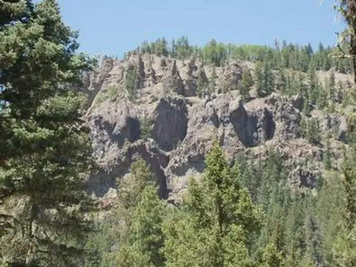 West Fork CampgroundCampingPhoto: Recreation.gov (RIDB) / public domain1.6 mi
 Primitive CampingCampingPhoto: Kevin Stroup, CC BY 3.0 (via Wikimedia Commons)3.8 mi
 East Fork San Juan RiverCanoeingPhoto: Dicklyon, CC BY-SA 4.0 (via Wikimedia Commons)4.7 mi
 West Fork San Juan RiverCanoeingPhoto: Jeffrey Beall, CC BY 4.0 (via Wikimedia Commons)4.9 mi
 North Clear Creek FallsWaterfallPhoto: Jeffrey Beall, CC BY 4.0 (via Wikimedia Commons)~55 min drive
Also worth it near here
Daily highs and lows, wind and the chance of precipitation at Treasure Falls for the next 7 days, from the Open-Meteo model.
Questions about Treasure Falls: conditions, access, timing. Answers say when something isn't known.
West Fork Campground
Campground
Places © Overture Maps Foundation
More in South Fork