Williams Creek Trail
- 0.7 mi
- round trip
- 398 ft
- climb
- 10,264 ft
- high point
- Out and back
- route
- Jun, Sep
- best months
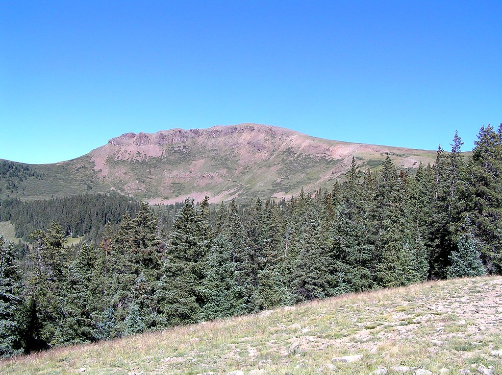
Williams Creek Trail is a short, easy out-and-back hike in Colorado's Gunnison Field Office, managed by the Bureau of Land Management. The trail starts at about 9,994 feet and climbs to 10,264 feet, with a total gain of 398 feet over the round trip. The route is about 1.4 miles long and is front-loaded, with the steepest stretch coming at about 0.43 miles. That part reaches a grade of 23 percent. The most comfortable time to go is July, when typical averages from a nearby weather station run to highs around 72°F and lows near 40°F. That station sits about 577 feet lower than the trail, so temperatures on the trail run a bit cooler. Winters are cold, with January highs around 35°F and lows near 2°F. The trip takes about half an hour. Williams Creek Campground is about 1.2 miles away, and Mill Creek Campground is about 2.2 miles away. For paddling, Lake Fork is about 3.4 miles away, and the Zebra Wall climbing area is about 8.1 miles away.
Local outfitters
- Grizzly RT RV Park3 mi away
- Peak Mountain Guides19 mi away
Not on Roamze yet. Their page has how to reach them.
- Williams CreekHiking1.1 mi
- Williams Creek CampgroundCamping1.2 mi
- CampHiking1.2 mi
- Mill Creek CampgroundCamping2.2 mi
- Lake ForkCanoeing3.4 mi
 Henson CreekCanoeingPhoto: Jeffrey Beall, CC BY 4.0 (via Wikimedia Commons)7.4 mi
- Zebra WallRock climbing8.1 mi
- Ritalin WallRock climbing8.1 mi
Source: Roamze catalog (indexable pages within 10 miles, PostGIS distance)
 Coney PointHiking · ~8 min drivePhoto: markbyzewski, CC BY 2.0 (via Flickr)
 Lake To Lake TrailHiking · ~11 min drivePhoto: JustTooLazy, CC BY 2.0 (via Flickr)
 Heart LakeHiking · ~13 min drivePhoto: fringedbenefit, CC BY 2.0 (via Flickr)
 American PeakHiking · ~15 min drivePhoto: WKHarmon, CC BY 2.0 (via Flickr)
 Carson PeakHiking · ~8 min drivePhoto: markbyzewski, CC BY 2.0 (via Flickr)
- Williams CreekHiking · ~2 min drive
 Cataract CreekHiking · ~9 min drivePhoto: markbyzewski, CC BY 2.0 (via Flickr)
 Broken HillHiking · ~18 min drivePhoto: John Sowell, CC BY-SA 4.0 (via Wikimedia Commons)
 Mark MountainHiking · ~10 min drivePhoto: kalestews, CC BY 2.0 (via Flickr)
- WAGER GULCH MEMORIAL TRAILHiking · ~3 min drive
Best time to visit Williams Creek Trail
Best months: June and September. Best months have typical highs of 55–85 °F, lows of 30 °F or warmer (32 °F where the station doesn't record snow), at most one snowy day and no more than 12 wet days.
Jan
35° / 2°
7 wet
Feb
36° / 3°
7 wet
Mar
42° / 12°
7 wet
Apr
48° / 19°
7 wet
May
58° / 27°
8 wet
Jun
68° / 34°
7 wet
Jul
72° / 40°
15 wet
Aug
70° / 39°
15 wet
Sep
64° / 33°
11 wet
Oct
55° / 23°
7 wet
Nov
43° / 13°
5 wet
Dec
34° / 2°
7 wet
Typical high / low (°F) and days with rain or snow, 1991–2020. Measured at Santa Maria Rsvr, CO, 15 mi away at 9,687 ft. The station sits about 600 ft lower than this place, so expect it a little cooler here. This station doesn't record snowfall. Source: NOAA NCEI U.S. Climate Normals 1991–2020.


Map and trail data © OpenStreetMap contributors
