Alta Lakes Campground (Dispersed)
Campground
Campground · 1.8 mi from the trail
Closure in the area
There's a closure order in Grand Mesa, Uncompahgre and Gunnison National Forests. It doesn't name Wasatch Descent, so check the source for the area it covers (2 listed).
Gold Mountain Wildfire Roads and Trails Closure Order v 4.0
Agency closure covering Grand Mesa, Uncompahgre and Gunnison National Forests · USFS · Grand Mesa, Uncompahgre and Gunnison National Forests
Ophir Pass Road Closure
Agency closure covering Grand Mesa, Uncompahgre and Gunnison National Forests · USFS · Grand Mesa, Uncompahgre and Gunnison National Forests
Potter Basin and Beaver Park Roads Emergency Closures
Agency alert covering Grand Mesa, Uncompahgre and Gunnison National Forests · USFS · Grand Mesa, Uncompahgre and Gunnison National Forests
TERMINATION OF ORDER - FIRE RESTRICTIONS
Agency alert covering Grand Mesa, Uncompahgre and Gunnison National Forests · USFS · Grand Mesa, Uncompahgre and Gunnison National Forests
Dallas Area Closure order
Agency alert covering Grand Mesa, Uncompahgre and Gunnison National Forests · USFS · Grand Mesa, Uncompahgre and Gunnison National Forests
As of · Source: USFS · Grand Mesa, Uncompahgre and Gunnison National Forests. Agencies don't list every closure — check before you go.
Wasatch Descent is a 10.8-mile out-and-back hike in the Norwood Ranger District of the Grand Mesa, Uncompahgre and Gunnison National Forests in Colorado. The route starts at about 12,168 feet and climbs to a high point of 12,182 feet, then descends back to a low of 8,772 feet, with a total gain and loss of 7,749 feet. The steepest stretch comes at about 2.8 miles in, where the grade reaches 45 percent. The trip is rated expert, and the parking area is named WASATCH. Plan for about 7.5 hours on the trail. East Fork Bear Creek is 0.6 miles away, and the Wasatch Connection mountain biking route is 0.7 miles off. Climbers can head to Sesame Street, about 1.2 miles away, and Alta Lakes Campground (Dispersed) is 1.8 miles from the trailhead.
Alta Lakes Campground (Dispersed)
Campground
Oak Street
Restaurant
Little Hawaii Grotto
Attraction
Places © OpenStreetMap contributors
More in TellurideNot on Roamze yet. Their page has how to reach them.
 Photo: Moo.The.Cow, CC BY 2.0 (via Flickr)
Prospect Loop
~3 min drive
1.7-mile out-and-back trail in Colorado with 421 ft elevation gain and loss.
 Photo: sf-dvs, CC BY 2.0 (via Wikimedia Commons)
Ridge Trail
~4 min drive
4.1-mile out-and-back ridge trail in Colorado with 1,588 ft gain/loss
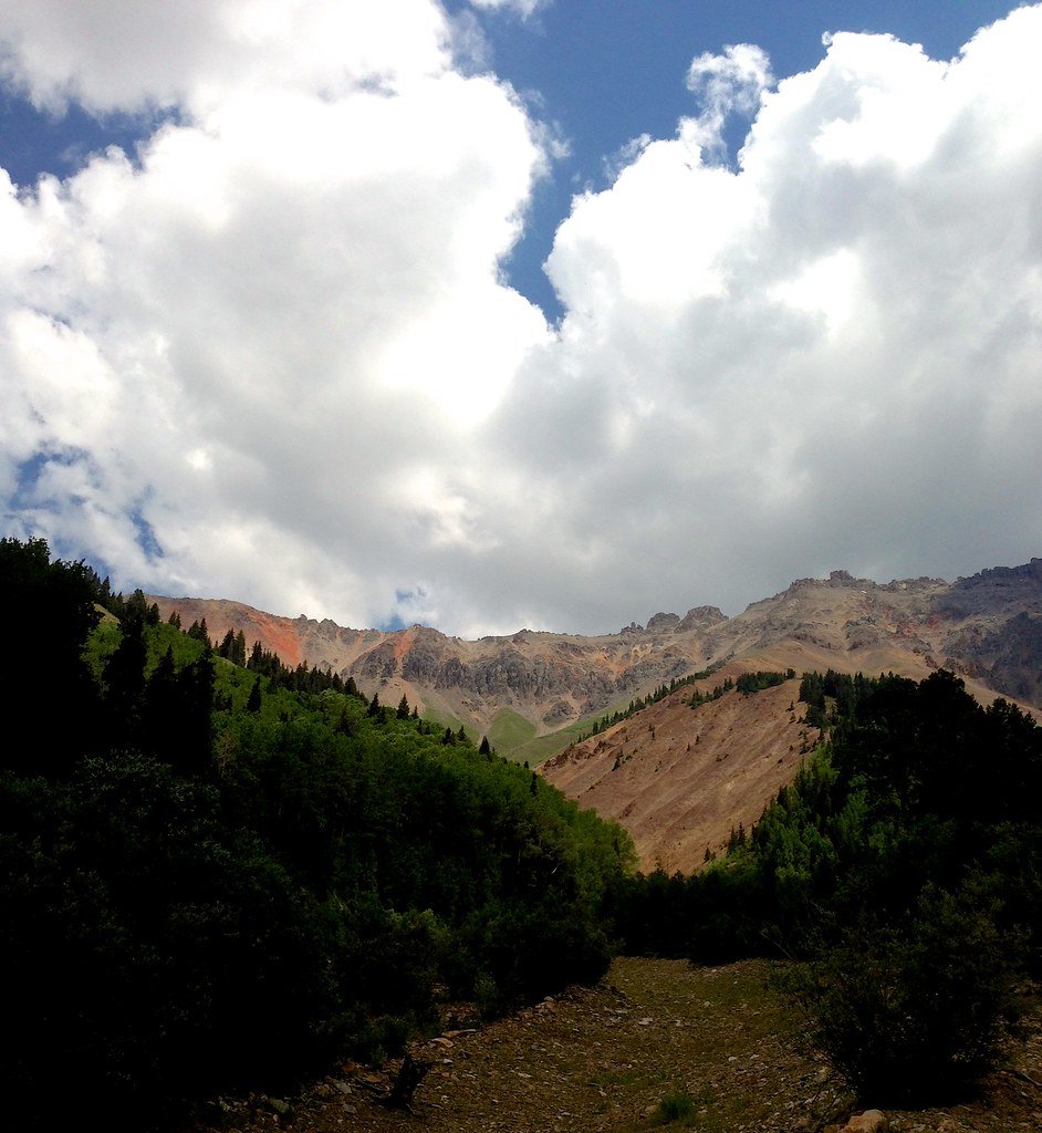 Photo: sdingle, CC BY-SA 2.0 (via Flickr)
Swamp Canyon
~5 min drive
6.63-mile out-and-back trail in Colorado with 2,758 ft elevation gain.
Photo: sdingle, CC BY-SA 2.0 (via Flickr)Wasatch Mountain
~6 min drive
Route to the summit of Wasatch Mountain (13,540 ft) from Bridal Veil Basin Trailhead.
Photo: Moo.The.Cow, CC BY 2.0 (via Flickr)Skunk Creek
~4 min drive
1.48-mile out-and-back trail in Colorado with 513 ft gain and 10,317 ft max elevation.
 Photo: John Fowler from Placitas, NM, USA, CC BY 2.0 (via Wikimedia Commons)
Swamp Canyon
~6 min drive
4.0-mile out-and-back trail in Colorado with 1,549 ft elevation gain and loss.
 Photo: Daniel Weber, Public Domain Dedication (CC0) (via Flickr)
Bridal Veil Creek
~5 min drive
9.26-mile out-and-back trail in Colorado with 2,681 ft elevation gain.
HIKE
Blixt
~4 min drive
5.33-mile out-and-back trail in Colorado reaching 13,157 ft.
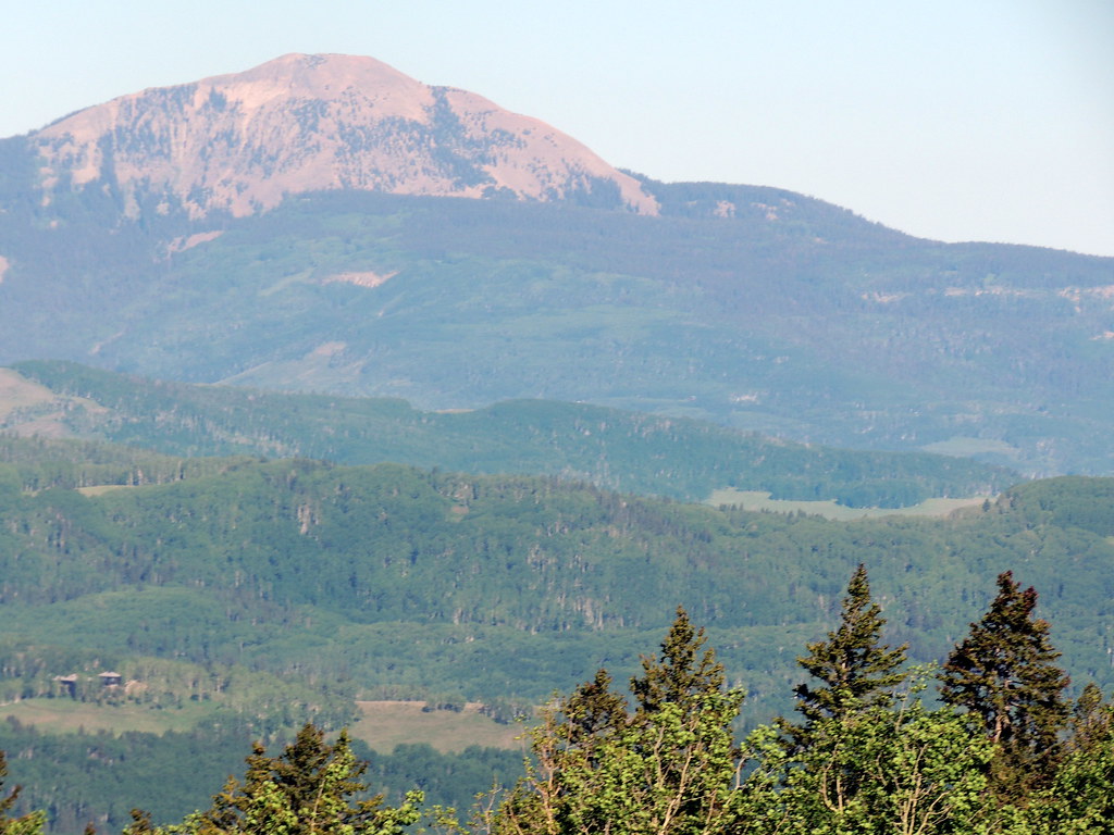 Photo: dougandme, CC BY 2.0 (via Flickr)
Magic Meadows Loop
~5 min drive
0.86-mile out-and-back trail in Colorado with 92 ft of elevation gain.
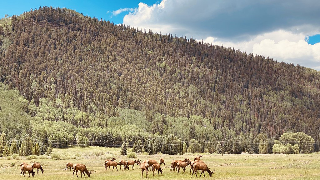 Photo: lamblukas, CC BY 2.0 (via Flickr)
Eider Trail
~6 min drive
3.28-mile out-and-back hike in Colorado with 1,106 ft elevation gain
Also worth it near here
 Photo: Miles Buddy, CC BY-SA 3.0 (via Wikimedia Commons)
Wasatch
~1 min drive
 Photo: Murray Foubister, CC BY-SA 2.0 (via Wikimedia Commons)
Telluride Ski Area
~2 min drive
 Photo: SNOWBOARDGUIDES.COM, CC BY 2.0 (via Wikimedia Commons)
Palmyra Peak
~2 min drive
 Photo: Kurt Bauschardt from Edmonton, Canada, CC BY-SA 2.0 (via Wikimedia Commons)
Prospect
~3 min drive
SEE
Alta Reservoir Number 3
~3 min drive
Map and trail data © OpenStreetMap contributors
