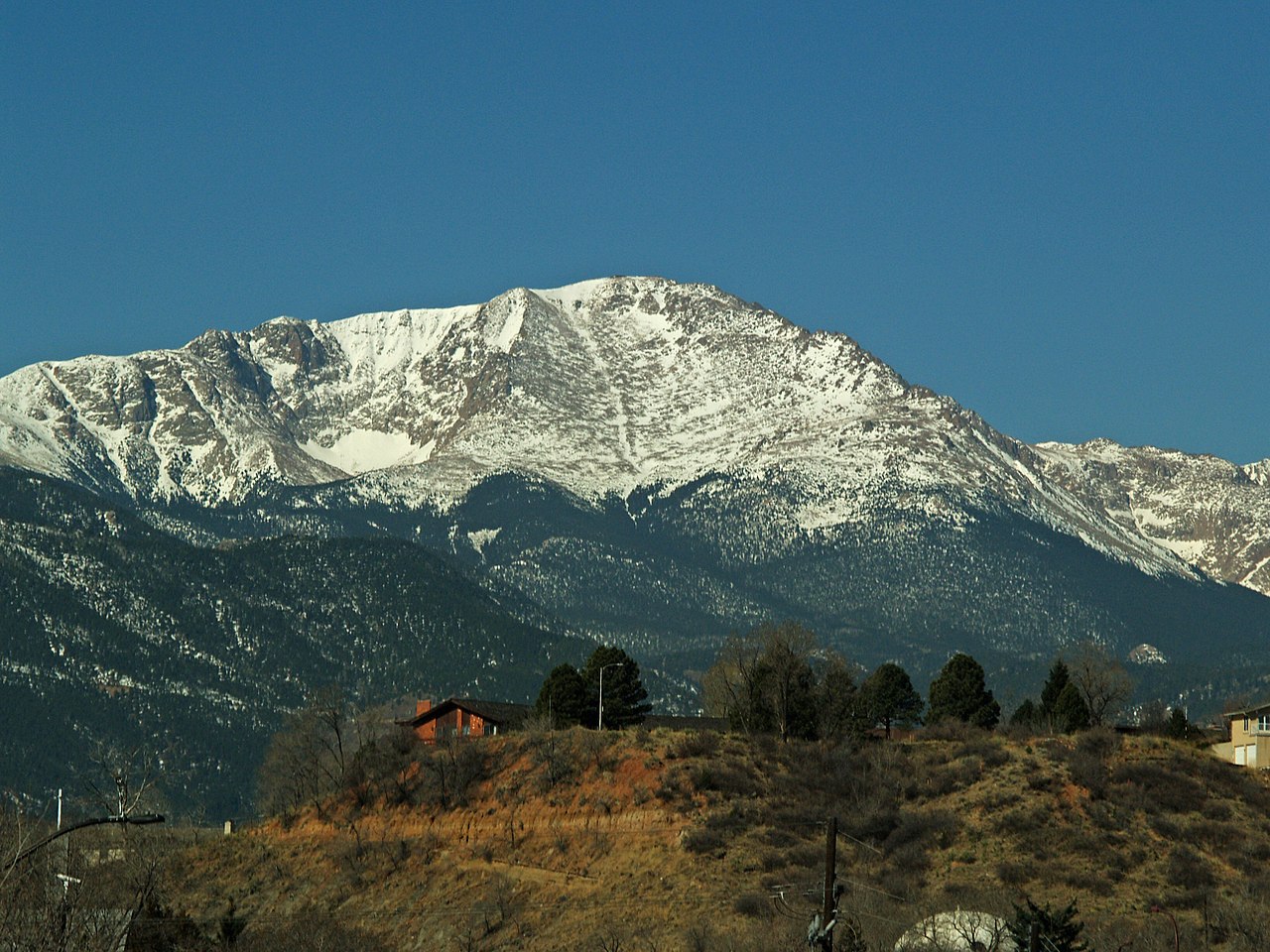
Rocky Mountain Mennonite Camp
Campground
Campground · 2.5 mi from the trail
Alert in the area
The Forest Service lists 11 alerts for Pike and San Isabel National Forests.
FSR 286, Radical Hill, is closed due to washouts and unsafe conditions
Agency alert covering Pike and San Isabel National Forests · USFS · Pike and San Isabel National Forests
Interlaken Hotel Tree Hazards
Agency alert covering Pike and San Isabel National Forests · USFS · Pike and San Isabel National Forests
Sharpe Fire Update
Agency alert covering Pike and San Isabel National Forests · USFS · Pike and San Isabel National Forests
Turquoise Lake Road (County Road 4) Closure
Agency alert covering Pike and San Isabel National Forests · USFS · Pike and San Isabel National Forests
Waldo Canyon Burn Area Closure
Agency alert covering Pikes Peak Ranger District · Order 02-12-09-24-07 · USFS · Pikes Peak Ranger District
As of · Source: USFS · Pike and San Isabel National Forests. Agencies don't list every closure — check before you go.
The Vayhingher Trail is a 2.1-mile out-and-back hike in Colorado's Pikes Peak Ranger District, part of the Pike and San Isabel National Forests. It sits within the North Slope Recreation Area, on city-managed land, and the trail's low point starts at 9,419 feet, rising to 9,713 feet at the high point. The climb is moderate, with a total gain of 676 feet, and the steepest stretch comes at about 0.74 miles in, where the grade reaches 10%. Summer is the most comfortable time to go. Typical averages from a nearby weather station at Divide, which sits about 579 feet lower, show July highs around 74°F with lows near 47°F, while winter highs stay in the low 30s. The Catamount Trail lies just 0.1 mile away, and the Elder-Fehn Trail is about a mile off. For an overnight stay, Rocky Mountain Mennonite Camp is 2.5 miles away and Crags Campground is 3 miles away.
Rocky Mountain Mennonite Camp
Campground
 If it rainsJeffrey Beall, CC BY 3.0 · Wikimedia Commons
Cripple Creek District Museum
Museum
History museum in Cripple Creek, Colorado
Places © OpenStreetMap contributors, Places © Overture Maps Foundation · Photos: Jeffrey Beall, CC BY 3.0 (commons)
More in GuffeyNot on Roamze yet. Their page has how to reach them.
Source: Roamze catalog (indexable pages within 10 miles, PostGIS distance)
 Ridge TrailHiking · ~5 min drivePhoto: TEDBARTH, CC BY-SA 3.0 (via Wikimedia Commons)Crystal TrailHiking · ~7 min drivePhoto: TEDBARTH, CC BY-SA 3.0 (via Wikimedia Commons)Crystal TrailHiking · ~7 min drivePhoto: TEDBARTH, CC BY-SA 3.0 (via Wikimedia Commons)
 Mount Esther TrailHiking · ~8 min drivePhoto: Sack-Sama, CC BY-SA 2.0 (via Flickr)
 Aspen TrailHiking · ~7 min drivePhoto: Sack-Sama, CC BY-SA 2.0 (via Flickr)
 Peak ViewHiking · ~8 min drivePhoto: Sack-Sama, CC BY-SA 2.0 (via Flickr)
 Black Bear TrailHiking · ~8 min drivePhoto: Sack-Sama, CC BY-SA 2.0 (via Flickr)
Best months: June–September. Best months have typical highs of 55–85 °F, lows of 30 °F or warmer (32 °F where the station doesn't record snow), at most one snowy day and no more than 12 wet days.
Jan
33° / 9°
Feb
34° / 11°
Mar
41° / 17°
Apr
47° / 23°
May
57° / 31°
Jun
69° / 41°
Jul
74° / 47°
Aug
71° / 45°
Sep
65° / 38°
Oct
54° / 27°
Nov
42° / 18°
Dec
33° / 12°
Typical high / low (°F) and days with rain or snow, 1991–2020. Measured at Divide 4nw, CO, 7 mi away at 9,134 ft. The station sits about 600 ft lower than this place, so expect it a little cooler here. This station doesn't record snowfall. Source: NOAA NCEI U.S. Climate Normals 1991–2020.
Map and trail data © OpenStreetMap contributors