Elder-Fehn Trail
- 3.2 mi
- round trip
- 1,352 ft
- climb
- 9,989 ft
- high point
- Out and back
- route
- Jun–Sep
- best months
The Elder-Fehn Trail is a 6.3-mile out-and-back hike on county land within Catamount Ranch in Colorado, about 3 miles from the town of Divide. The route starts at roughly 9,600 feet and climbs steadily to a high point of about 10,000 feet, with a total elevation gain of 1,352 feet for the round trip. The steepest stretch comes at about 1.7 miles in, where the grade reaches 16 percent. Summer is the most comfortable time to go. Typical averages from a nearby weather station at Divide, which sits about 850 feet lower, show July highs around 74°F with lows near 47°F. That station's figures run cooler than conditions on the trail, so expect temperatures on the high ground to be somewhat lower. The hike takes about 3 hours. The Mule Deer Trail and the Blue River Trail both lie within a mile, and Crags Campground is about 4 miles away. Pike's Peak, a climbing area, is roughly 6.5 miles off.
Local outfitters
- Broadmoor Outfitters16 mi away
- Gold Belt Tour Scenic and Historic Byway20 mi away
Not on Roamze yet. Their page has how to reach them.
- Mule Deer TrailHiking0.7 mi
- Blue River TrailHiking0.8 mi
- Rocky Mountain Mennonite CampCamping3.4 mi
- Crags CampgroundCamping4 mi
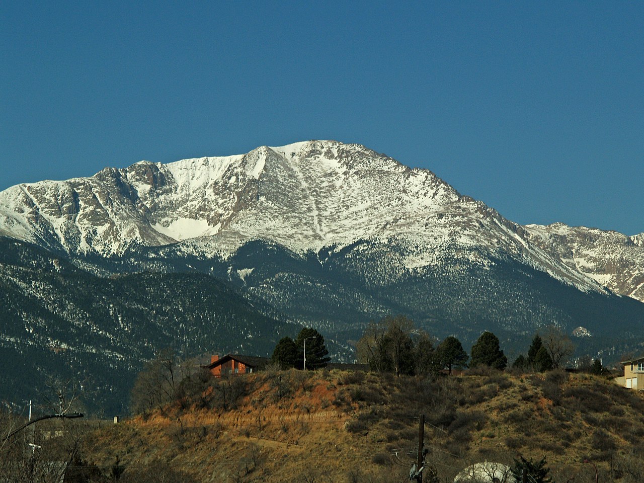
- Pike's PeakRock climbing6.5 mi
- Talus FieldRock climbing7.4 mi
- Homestake Fishing SiteLake fishing7.6 mi
- Dikeside Boating SiteLake fishing8.2 mi
Source: Roamze catalog (indexable pages within 10 miles, PostGIS distance)
 Ridge TrailHiking · ~4 min drivePhoto: TEDBARTH, CC BY-SA 3.0 (via Wikimedia Commons)
- Crystal TrailHiking · ~7 min drivePhoto: TEDBARTH, CC BY-SA 3.0 (via Wikimedia Commons)
- Devil's PlaygroundHiking · ~7 min drive
- North Divide Trail 717AHiking · ~8 min drive
- Crystal TrailHiking · ~6 min drivePhoto: TEDBARTH, CC BY-SA 3.0 (via Wikimedia Commons)
 Mount Esther TrailHiking · ~7 min drivePhoto: Sack-Sama, CC BY-SA 2.0 (via Flickr)
 North Divide Trail 717AHiking · ~7 min drivePhoto: CaroleHenson, CC BY-SA 3.0 (via Wikimedia Commons)
- Vayhingher TrailHiking · ~2 min drive
 Elk ParkHiking · ~8 min drivePhoto: Osajus Photography, CC BY 2.0 (via Flickr)
- Mackinaw TrailHiking · ~4 min drive
Best time to visit Elder-Fehn Trail
Best months: June–September. Best months have typical highs of 55–85 °F, lows of 30 °F or warmer (32 °F where the station doesn't record snow), at most one snowy day and no more than 12 wet days.
Jan
33° / 9°
Feb
34° / 11°
Mar
41° / 17°
Apr
47° / 23°
May
57° / 31°
Jun
69° / 41°
Jul
74° / 47°
Aug
71° / 45°
Sep
65° / 38°
Oct
54° / 27°
Nov
42° / 18°
Dec
33° / 12°
Typical high / low (°F) and days with rain or snow, 1991–2020. Measured at Divide 4nw, CO, 7 mi away at 9,134 ft. The station sits about 900 ft lower than this place, so expect it a little cooler here. This station doesn't record snowfall. Source: NOAA NCEI U.S. Climate Normals 1991–2020.
Map and trail data © OpenStreetMap contributors
