Timber Creek Campground
Campground
Campground · 1.5 mi from the trail
 Photo: Dariusz Kowalczyk, CC BY-SA 3.0 (via Wikimedia Commons)
Road closed
US 34: Milner Pass is listed as closed by CDOT 511 (2 listed).
US 34: Milner Pass
Closed · ~3.7 km from Timber Lake Trail · CDOT 511
US 34: road closure
Closed · ~0.4 km from Timber Lake Trail · CDOT 511
Trail Ridge Road Status Update
Park closure covering Rocky Mountain National Park · NPS · Rocky Mountain National Park
As of · Source: CDOT 511. Agencies don't list every closure — check before you go.
Timber Lake Trail is a 2.9-mile out-and-back hike located in Colorado. This moderate day hike offers an accessible option for hikers exploring the Colorado area. The trail follows a straightforward route that retraces itself, making navigation simple for visitors of all experience levels. The out-and-back format means hikers will enjoy the same scenery on both the approach and return journey, allowing for different perspectives as lighting and conditions change throughout the day. With a distance of 2.9 miles round trip, the trail is suitable for families, casual hikers, and those looking for a shorter outing. Timber Lake Trail provides an opportunity to experience Colorado's natural landscapes while remaining manageable for most fitness levels. The trail's proximity to the Colorado area makes it a convenient option for both locals and visitors to the region. Whether you're seeking a leisurely walk through nature or a quick outdoor excursion, this trail offers a straightforward hiking experience in a scenic Colorado setting.
Timber Creek Campground
Campground
Trail Ridge Cafe
Restaurant
Images of Rocky Mountain National Park
Gallery
Places © OpenStreetMap contributors
More in Estes ParkNot on Roamze yet. Their page has how to reach them.
Best months: June–August. Best months have typical highs of 55–85 °F, lows of 30 °F or warmer (32 °F where the station doesn't record snow), at most one snowy day and no more than 12 wet days.
Jan
29° / 3°
11 wet
Feb
30° / 5°
11 wet
Mar
38° / 12°
10 wet
Apr
45° / 20°
10 wet
May
55° / 27°
9 wet
Jun
67° / 33°
8 wet
Jul
73° / 40°
10 wet
Aug
72° / 38°
11 wet
Sep
64° / 31°
9 wet
Oct
51° / 22°
8 wet
Nov
38° / 12°
10 wet
Dec
30° / 4°
12 wet
Typical high / low (°F) and days with rain or snow, 1991–2020. Measured at Gould 4se Sfsp, CO, 11.2 mi away at 9,000 ft. The station sits about 1,000 ft lower than this place, so expect it a little cooler here. This station doesn't record snowfall. Source: NOAA NCEI U.S. Climate Normals 1991–2020.
US 34: Milner Pass closed
closed Oct 28, 2026, no reopening recorded · State DOT
US 34: Milner Pass closed
closed Oct 28, 2026 → reopened Oct 28, 2026 · State DOT
US 34: Milner Pass closed
closed Oct 27, 2026 → reopened Oct 27, 2026 · State DOT
US 34: Milner Pass closed
closed Oct 26, 2026 → reopened Oct 27, 2026 · State DOT
HIKE
Colorado River Trailhead
Next door
The Colorado River Trailhead is the access point for many trails in the northwest corner of Rocky Mountain National Park. From this location, park visitors can explore a variety of trails. For a simple excursion, hike 0.5 miles to find the Colorado River. This point marks…
 Photo: inkknife_2000 (7.5 million views +), CC BY-SA 2.0 (via Wikimedia Commons)
Red Mountain Trail
~1 min drive
2.67-mile out-and-back trail in Colorado with 1,200 ft elevation gain.
HIKE
Farview Curve Overlook
~1 min drive
Enjoy sweeping views of the Kawnueeche Valley and the Never Summer Range from this spectacular overlook. For thousands of years, Native American communities lived seasonally in the Kawnueeche Valley. The Colorado River provided valuable resources that sustained communities…
 Photo: inkknife_2000 (7.5 million views +), CC BY-SA 2.0 (via Wikimedia Commons)
Ditch Road
~3 min drive
5.4 mi · Hard
 Photo: markbyzewski, CC BY 2.0 (via Flickr)
Timber Creek Cmpgnd-Beaver Ponds Picnic Area Trail
~2 min drive
1.14-mile out-and-back hike in Colorado with 290 ft elevation gain/loss.
 Photo: inkknife_2000 (7.5 million views +), CC BY-SA 2.0 (via Wikimedia Commons)
Colorado River Trail
~3 min drive
A moderate 3.66-mile lollipop trail in Colorado featuring a combination loop and out-and-back route.
HIKE
Holzwarth Historic Site - Bridge Over the Colorado River
~3 min drive
Beneath you runs the headwaters of the Colorado River! It provided water to the homesteaders who called this valley home over a century ago. What was the Homestead Act? With the goal of promoting development in the American West, President Lincoln passed a law in 1862 that…
 Photo: inkknife_2000 (7.5 million views +), CC BY-SA 2.0 (via Wikimedia Commons)
Mount Ida Trail
~4 min drive
4.10-mile trail in Colorado with 2,400 ft gain and 12,880 ft max elevation
 Photo: krossbow, CC BY 2.0 (via Flickr)
Lake Irene Trail
~3 min drive
0.66-mile out-and-back trail to Lake Irene in Colorado at 10,672 ft.
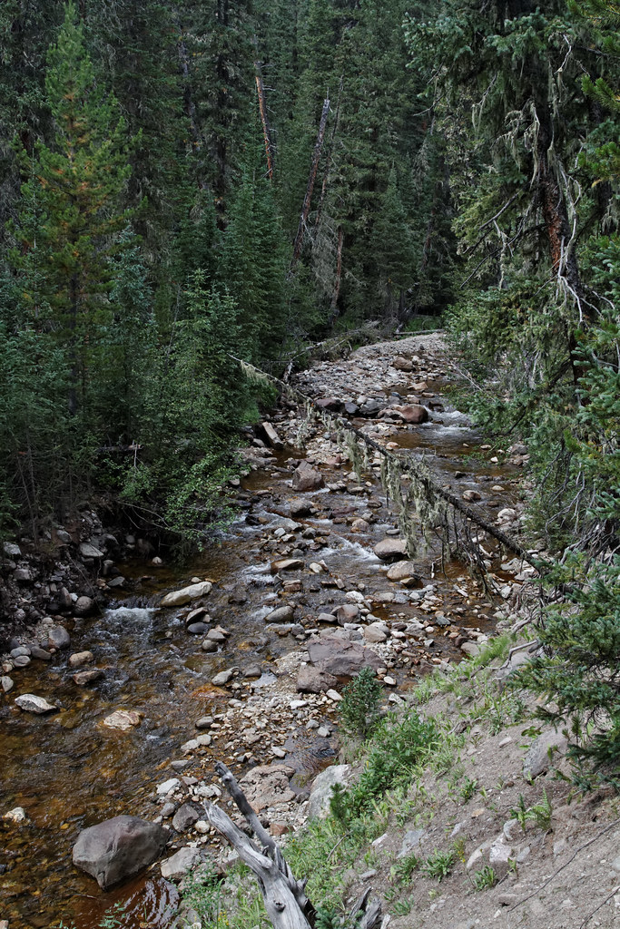 Photo: KimonBerlin, CC BY-SA 2.0 (via Flickr)
Lake of the Clouds Trail
~4 min drive
1.34-mile trail in Colorado with 400 ft elevation gain and 10,800 ft max elevation.
Map and trail data © OpenStreetMap contributors


