

Alpine Lodge at Red Feather Lakes
Hiking business nearby (~32 mi away) — hasn't claimed their Roamze page yet
Free — you'll pick up right here.
Watch this trail
Sign up to watch it — saving subscribes you to gate, closure and report changes.
Colorado
5.4 mi
Distance
1,392 ft
Gain
We won't guess. Here is exactly what we do and don't know.
What we do know
Inside Rocky Mountain National Park
National Park unit boundary is mapped — agency alerts for it feed this page automatically.
Boundary data
What's missing
No access route mapped
We don't yet know which road reaches this trailhead, so we can't tell you if it's gated.
Nobody's filed a report here yet — be the first.
Why you'll love it
Ditch Road
AI-suggested draft · review before you go
No permit or access details on file for this trail — check with the local land manager before you go.
Ditch Road is a 2.7-mile out-and-back trail located near Colorado in Colorado. This relatively short hike offers an accessible option for hikers looking for a straightforward route without significant elevation challenges. As an out-and-back trail, hikers will retrace their steps on the return journey, making route-finding simple and allowing visitors to turn back at any point that suits their fitness level or time constraints. The modest distance makes this trail suitable for families, beginners, or those seeking a quick outdoor outing. The trail's name suggests it follows or parallels a ditch, which may indicate an irrigation channel or water conveyance structure common to Colorado's landscape. This type of trail often provides insight into the region's water management history and agricultural heritage. Before heading out, check current trail conditions and any local advisories. Bring adequate water, especially in Colorado's typically dry climate, and verify access information with local land management agencies. The trail's proximity to populated areas makes it a convenient option for local residents and visitors seeking outdoor recreation.
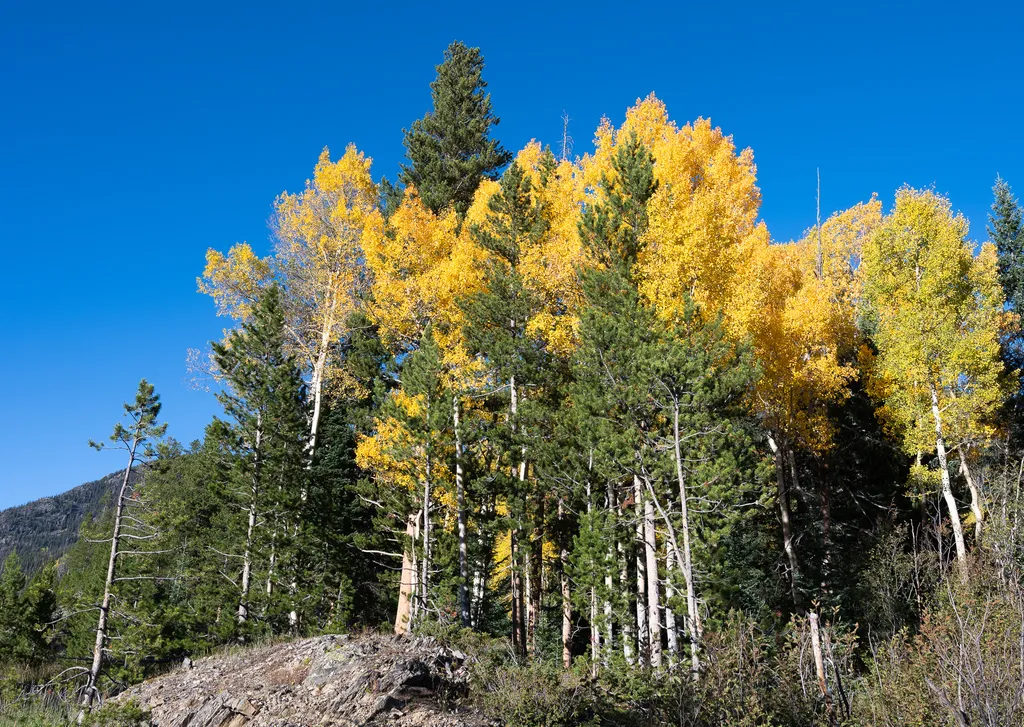
View Fall Colors on the West Side of Rocky Mountain National Park
~1 min drive
<p>Planning a trip to the west side of Rocky? This is a great time of year to view fall colors!<br /> <br /> September and October brings shorter days, cooler temperatures, bugling elk, and shifting colors. Explore the array of fall colors on the west side of Rocky Mountain Na…

Baker Gulch
~2 min drive
12 mi · Hard

Timber Lake Trail
~3 min drive
5.8 mi · Easy

Colorado River Trail
~6 min drive
A moderate 3.66-mile lollipop trail in Colorado featuring a combination loop and out-and-back route.
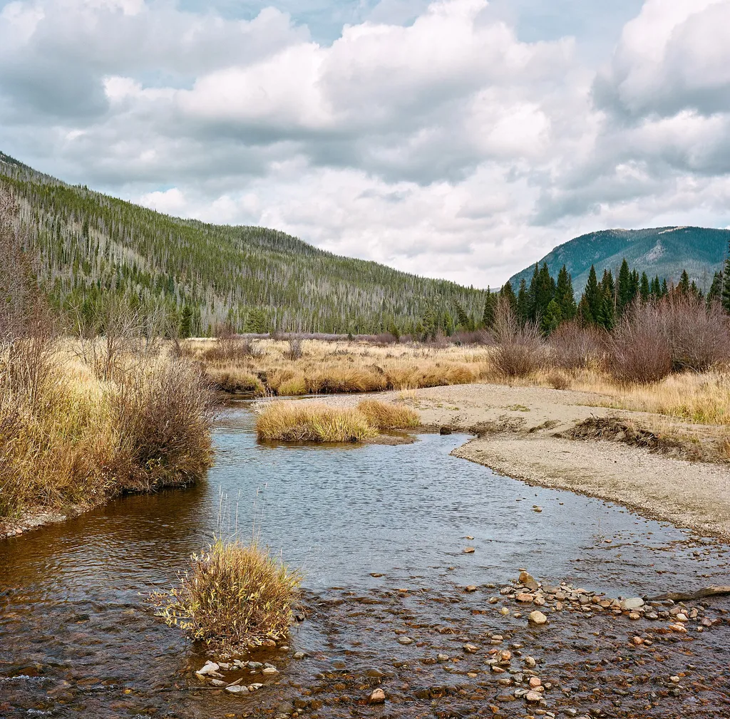
Holzwarth Historic Site - Bridge Over the Colorado River
~1 min drive
<p>Beneath you runs the headwaters of the Colorado River! It provided water to the homesteaders who called this valley home over a century ago.</p> <h2>What was the Homestead Act?</h2> <p>With the goal of promoting development in the American West, President Lincoln passed a l…

North Supply Loop
~10 min drive
6.3 mi · Hard
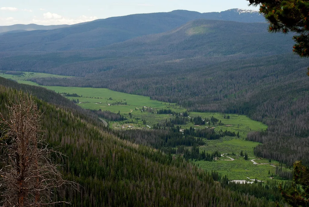
Colorado River Trailhead
~4 min drive
<p>The Colorado River Trailhead is the access point for many trails in the northwest corner of Rocky Mountain National Park.</p> <p>From this location, park visitors can explore a variety of trails. For a simple excursion, hike 0.5 miles to find the Colorado River. This point…

Ute Trail
~12 min drive
9.2 mi · Moderate
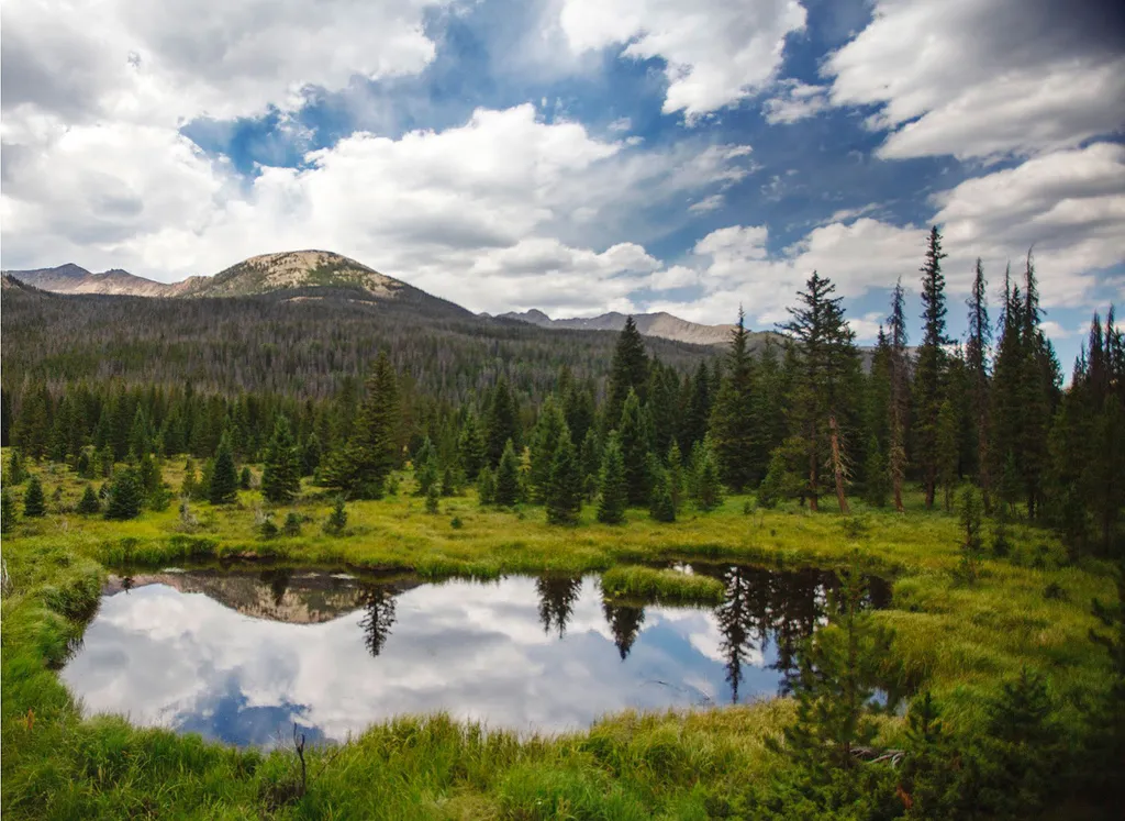
Beaver Ponds Picnic Area
~2 min drive
<p>Beaver Ponds Picnic Area is an excellent location to enjoy the peacefulness of the Kawnueeche Valley.</p> <p>This picnic area has tables overlooking two large ponds where visitors can enjoy the scenery while stopping to have a meal. Water sources like the ones found here pr…

Tonahutu Creek Trail
~10 min drive
27 mi · Hard
Local operatorsoffering guided trips. You book directly with them — Roamze doesn’t take a cut.
Alpine Lodge at Red Feather Lakes
Hiking business nearby (~32 mi away) — hasn't claimed their Roamze page yet
Wildcat Mountaineering
Hiking business nearby (~33 mi away) — hasn't claimed their Roamze page yet
Camp Always Choose Adventures
Hiking business nearby (~42 mi away) — hasn't claimed their Roamze page yet