

Alpine Lodge at Red Feather Lakes
Hiking business nearby (~29 mi away) — hasn't claimed their Roamze page yet
Free — you'll pick up right here.
Watch this trail
Sign up to watch it — saving subscribes you to gate, closure and report changes.
Colorado
3.7 mi
Distance
398 ft
Gain
We won't guess. Here is exactly what we do and don't know.
What we do know
Inside Rocky Mountain National Park
2 managing-area boundaries mapped — agency alerts for them feed this page automatically.
Boundary data
Access via US 34: Milner Pass
Road status feeds from the state DOT 511 network.
State DOT 511 · 28 d ago
Nobody's filed a report here yet — be the first.
Why you'll love it
Colorado River Trail
AI-suggested draft · review before you go
No permit or access details on file for this trail — check with the local land manager before you go.
The Colorado River Trail is a 2.1-mile out-and-back hike located near Colorado in White River National Forest, managed by the Aspen-Sopris Ranger District. This trail follows the Colorado River, offering hikers a riverside walking experience through the national forest. The out-and-back format allows visitors to turn around at any point, making the hike flexible for different fitness levels and time constraints. Hikers can enjoy portions of the trail or complete the full distance depending on their preferences. The trail provides access to the Colorado River corridor, where visitors can experience the natural landscape of the White River National Forest. The river setting offers scenic views and the opportunity to observe riparian habitat along one of Colorado's major waterways. For current trail conditions, specific elevation gain information, and any seasonal closures or access updates, contact the Aspen-Sopris Ranger District of White River National Forest. Parking and trailhead facilities information is available through the managing agency.
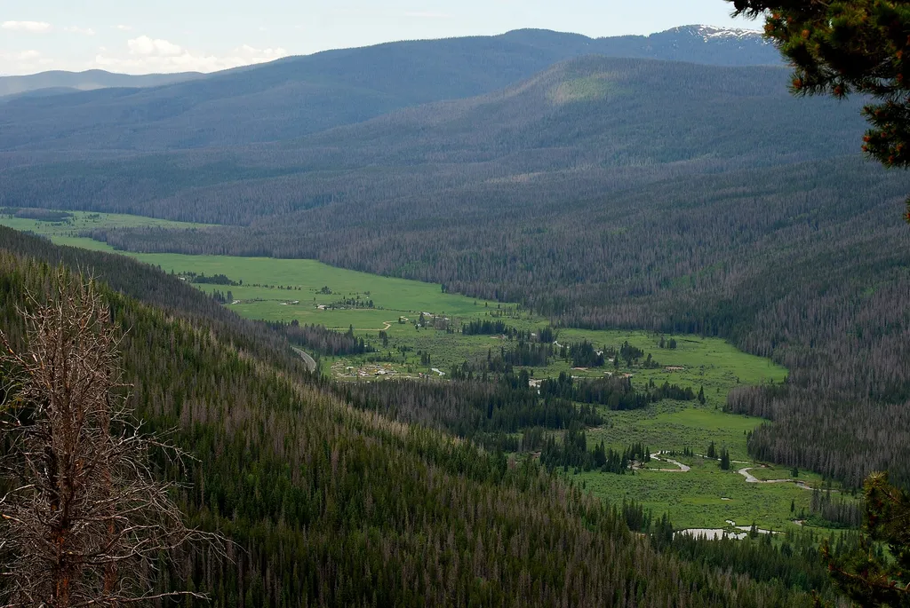
Colorado River Trailhead
~2 min drive
<p>The Colorado River Trailhead is the access point for many trails in the northwest corner of Rocky Mountain National Park.</p> <p>From this location, park visitors can explore a variety of trails. For a simple excursion, hike 0.5 miles to find the Colorado River. This point…
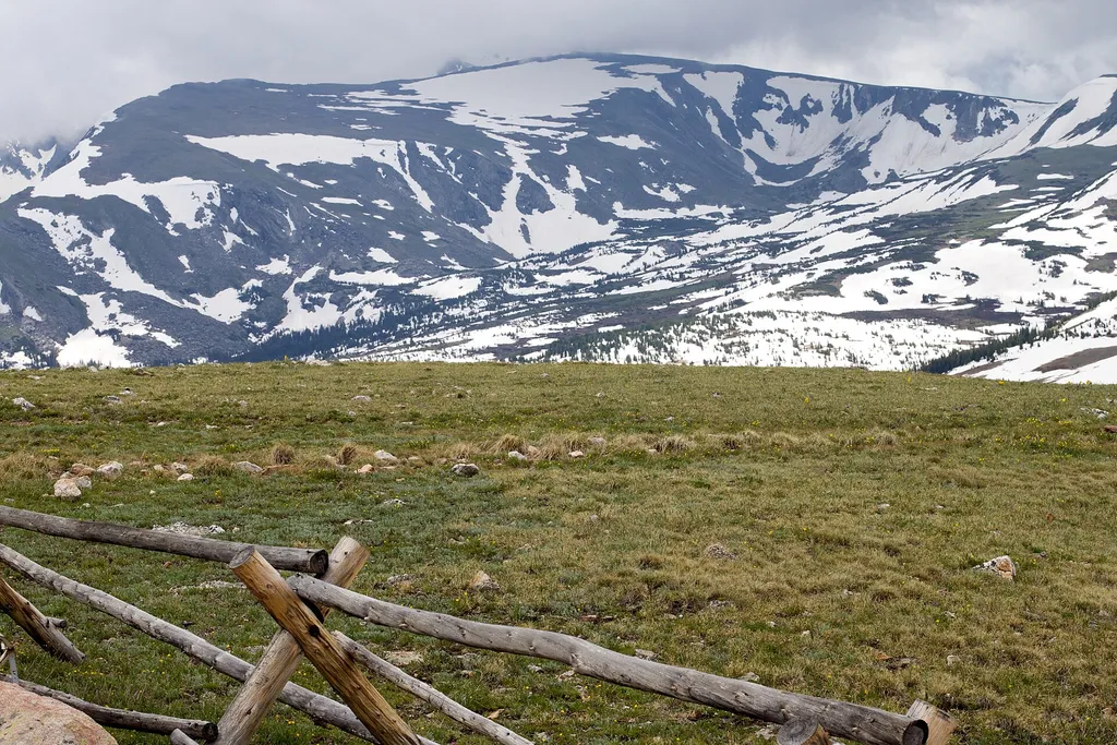
Farview Curve Overlook
~3 min drive
<p>Enjoy sweeping views of the Kawnueeche Valley and the Never Summer Range from this spectacular overlook.</p> <p>For thousands of years, Native American communities lived seasonally in the Kawnueeche Valley. The Colorado River provided valuable resources that sustained commu…

Baker Gulch
~7 min drive
12 mi · Hard

Neota Creek
~8 min drive
3.1 mi · Moderate

Timber Lake Trail
~3 min drive
5.8 mi · Easy
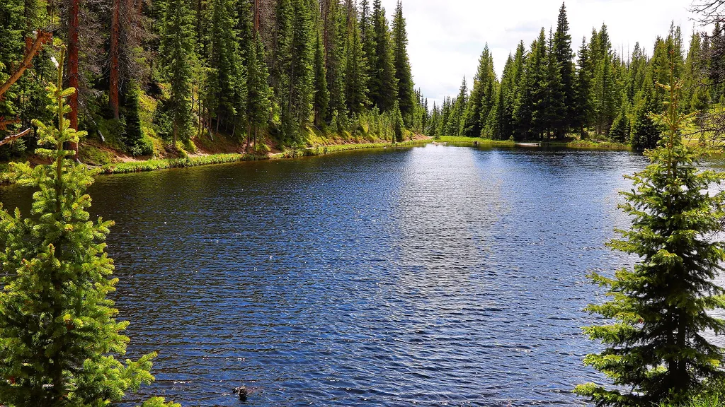
Lake Irene Picnic Area
~3 min drive
<p>The Lake Irene Picnic Area is an ideal location to enjoy Rocky Mountain National Park’s sub-alpine ecosystem.</p> <p>There are several picnic tables available at this location and it is just a short walk to Lake Irene. After your picnic, stroll the 0.5 mile loop around this…

Tonahutu Creek Trail
~14 min drive
27 mi · Hard

Ute Trail
~9 min drive
9.2 mi · Moderate

Ditch Road
~6 min drive
5.4 mi · Easy
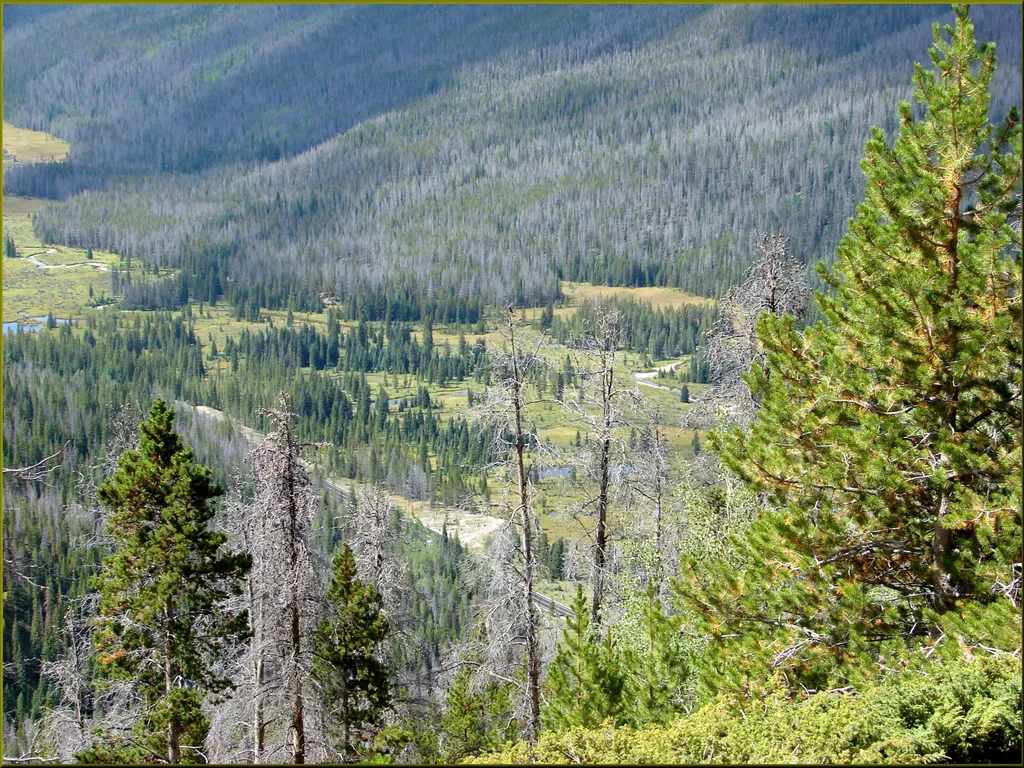
Beaver Creek Picnic Area
~3 min drive
<p>At the Beaver Creek Picnic Area visitors will find a quiet spot for picnicking in the scenic Kawnueeche Valley.</p> <p>Picnic tables located on the top of a small hill provide an ideal viewing location for the wildlife that often visit this section of the meadow. During the…
Local operatorsoffering guided trips. You book directly with them — Roamze doesn’t take a cut.
Alpine Lodge at Red Feather Lakes
Hiking business nearby (~29 mi away) — hasn't claimed their Roamze page yet
Wildcat Mountaineering
Hiking business nearby (~33 mi away) — hasn't claimed their Roamze page yet
Camp Always Choose Adventures
Hiking business nearby (~45 mi away) — hasn't claimed their Roamze page yet