


Alpine Lodge at Red Feather Lakes
Hiking business nearby (~30 mi away) — hasn't claimed their Roamze page yet
Colorado River Trailhead
Free — you'll pick up right here.
Watch this trail
Sign up to watch it — saving subscribes you to gate, closure and report changes.
Colorado
We won't guess. Here is exactly what we do and don't know.
What we do know
Inside Rocky Mountain National Park
National Park unit boundary is mapped — agency alerts for it feed this page automatically.
Boundary data
Access via US 34: Milner Pass
Road status feeds from the state DOT 511 network.
State DOT 511 · 25 d ago
Nobody's filed a report here yet — be the first.
Colorado River Trailhead
AI-suggested draft · review before you go
No elevation data on file for this trail.
The Colorado River Trailhead is the access point for many trails in the northwest corner of Rocky Mountain National Park. From this location, park visitors can explore a variety of trails. For a simple excursion, hike 0.5 miles to find the Colorado River. This point marks the start of its journey through the Kawnueeche Valley. Visitors interested in the history of the area can hike the 3.7 mile trail to the site of Lulu City. This location was a hopeful mining town in the 1880’s. Other popular sites include the Grand Ditch and Little Yellowstone. It is common to find wildlife such as elk, moose, coyotes, and foxes on the way to these destinations. Remember to keep your distance from wildlife. Never approach or feed wildlife. You could be hurt or issued a fine. Picnic Tables: 6 Fire Grates: 4 Use of Portable Grills*: Yes * The use of disposable or portable charcoal grills, wood fuel camp stoves, and gas grills is allowed for food preparation as adjuncts to fire grates provided by the park in auto campgrounds and picnic areas. Where portable grills are allowed, the used charcoal and ash must be completely extinguished and disposed of in trash receptacle. Note: Trail Ridge Road is closed from here east to Many Parks Curve mid-October to Memorial Day. Extreme weather can change the status of Trail Ridge Road at any time—be ready to adjust your travel plans if needed, and always check the weather before you start your drive.

Timber Lake Trail
~0 min drive
5.8 mi · Easy
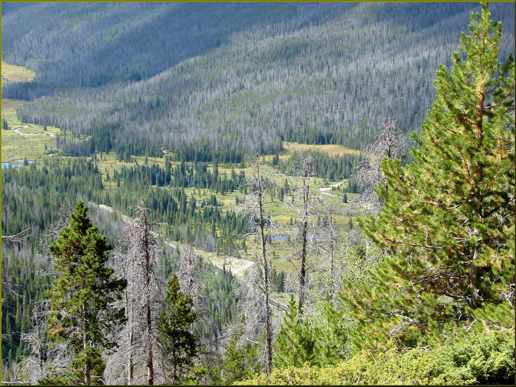
Beaver Creek Picnic Area
~1 min drive
<p>At the Beaver Creek Picnic Area visitors will find a quiet spot for picnicking in the scenic Kawnueeche Valley.</p> <p>Picnic tables located on the top of a small hill provide an ideal viewing location for the wildlife that often visit this section of the meadow. During the…

Colorado River Trail
~2 min drive
A moderate 3.66-mile lollipop trail in Colorado featuring a combination loop and out-and-back route.

Baker Gulch
~5 min drive
12 mi · Hard

Ditch Road
~4 min drive
5.4 mi · Easy
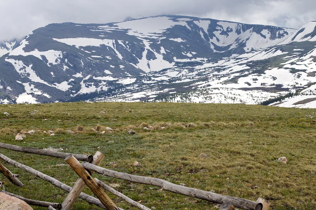
Farview Curve Overlook
~1 min drive
<p>Enjoy sweeping views of the Kawnueeche Valley and the Never Summer Range from this spectacular overlook.</p> <p>For thousands of years, Native American communities lived seasonally in the Kawnueeche Valley. The Colorado River provided valuable resources that sustained commu…

Ute Trail
~10 min drive
9.2 mi · Moderate

Tonahutu Creek Trail
~12 min drive
27 mi · Hard

Thunder Pass
~10 min drive
1.1 mi · Easy
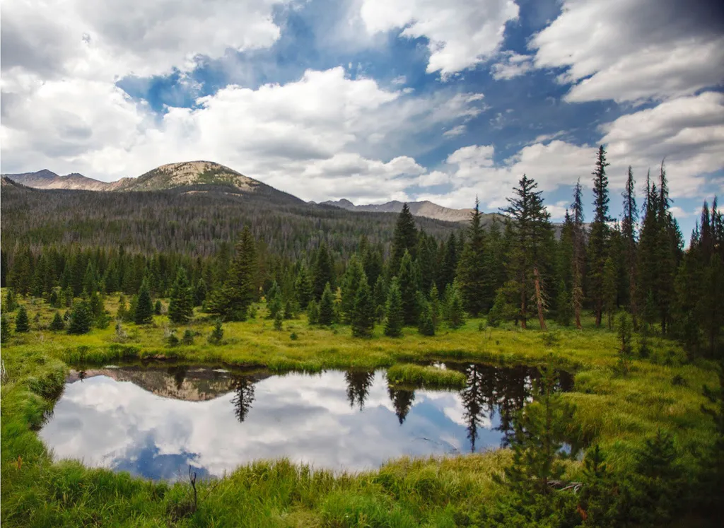
Beaver Ponds Picnic Area
~2 min drive
<p>Beaver Ponds Picnic Area is an excellent location to enjoy the peacefulness of the Kawnueeche Valley.</p> <p>This picnic area has tables overlooking two large ponds where visitors can enjoy the scenery while stopping to have a meal. Water sources like the ones found here pr…
Local operatorsoffering guided trips. You book directly with them — Roamze doesn’t take a cut.
Alpine Lodge at Red Feather Lakes
Hiking business nearby (~30 mi away) — hasn't claimed their Roamze page yet
Wildcat Mountaineering
Hiking business nearby (~33 mi away) — hasn't claimed their Roamze page yet
Camp Always Choose Adventures
Hiking business nearby (~44 mi away) — hasn't claimed their Roamze page yet