Box Canyon Campsite
Campground
Campground · 1.1 mi from the trail
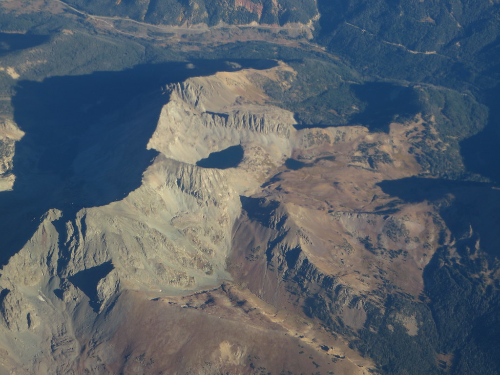 Photo: Ken Lund, CC BY-SA 2.0 (via Flickr)
Alert in the area
The Forest Service lists 3 alerts for Medicine Bow-Routt National Forest.
Access Impact: Big Creek Lakes Dam Project
Agency alert covering Medicine Bow-Routt National Forest · USFS · Medicine Bow-Routt National Forest
Trail & Access Impact: Stillwater Reservoir Project
Agency alert covering Medicine Bow-Routt National Forest · USFS · Medicine Bow-Routt National Forest
Snowy Range - 2026 Active Vegetation Operations
Agency alert covering Medicine Bow-Routt National Forest · USFS · Medicine Bow-Routt National Forest
As of · Source: USFS · Medicine Bow-Routt National Forest. Agencies don't list every closure — check before you go.
Thunder Pass is an easy, short hike in Colorado's Medicine Bow-Routt National Forest, within the Parks Ranger District of State Forest State Park. The land is managed by State Fish and Wildlife, and the trail is about a mile long with a one-way climb of about 130 feet, from roughly 11,230 feet to about 11,330 feet. The trail is natural-surfaced and open to both horses and bikes, so it works for riders and pack animals as well as hikers. It makes a quick outing on its own, and the American Lakes Trail lies just 0.4 miles away for an easy extension. Lake Agnes Trail and Michigan Ditch Trail are both about 1.3 miles off. For an overnight stay, Grandview Campground is about 3.9 miles away.
Box Canyon Campsite
Campground
Trail Ridge Cafe
Restaurant
Images of Rocky Mountain National Park
Gallery
Places © OpenStreetMap contributors
More in Estes ParkNot on Roamze yet. Their page has how to reach them.
Lake Agnes TrailHikingPhoto: Ken Lund, CC BY-SA 2.0 (via Flickr)1.3 miMichigan Ditch TrailHikingPhoto: Ken Lund, CC BY-SA 2.0 (via Flickr)1.3 miSource: Roamze catalog (indexable pages within 10 miles, PostGIS distance)
Lake Agnes TrailHiking · ~2 min drivePhoto: Ken Lund, CC BY-SA 2.0 (via Flickr)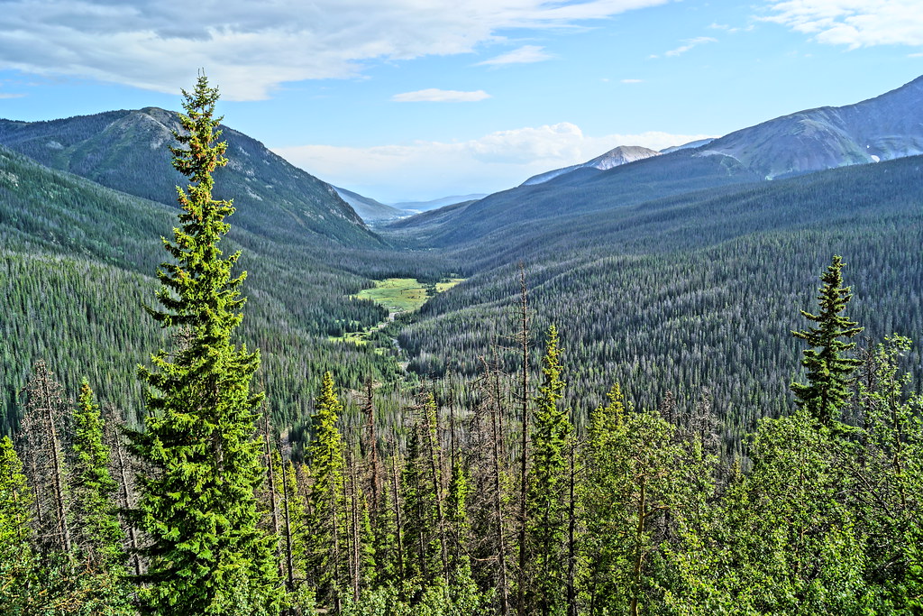 Thunder Pass TrailHiking · ~3 min drivePhoto: Yssso, CC BY-SA 2.0 (via Flickr)
 Mount Ida TrailHiking · ~10 min drivePhoto: inkknife_2000 (7.5 million views +), CC BY-SA 2.0 (via Wikimedia Commons)
 Thunder Pass TrailHiking · ~3 min drivePhoto: Yssso, CC BY-SA 2.0 (via Flickr)Skeleton Gultch TrailHiking · ~3 min drivePhoto: Yssso, CC BY-SA 2.0 (via Flickr)
 Timber Lake TrailHiking · ~10 min drivePhoto: Dariusz Kowalczyk, CC BY-SA 3.0 (via Wikimedia Commons)Little Yellowstone TrailHiking · ~4 min drivePhoto: Yssso, CC BY-SA 2.0 (via Flickr)
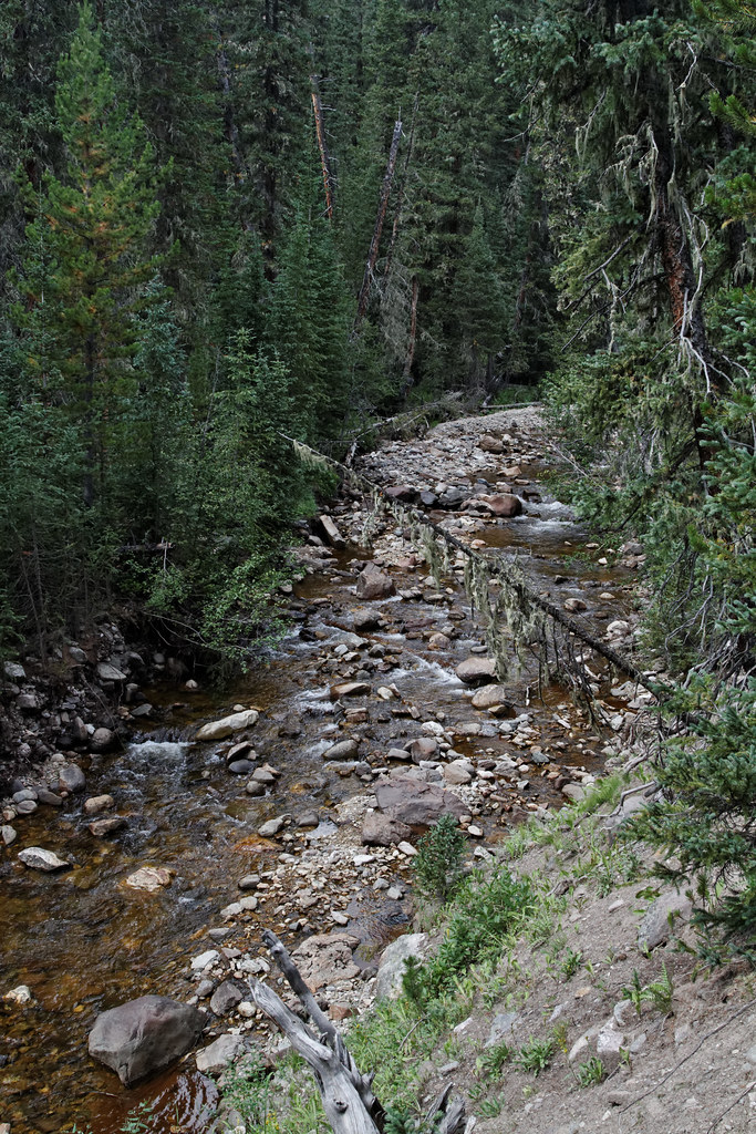 Lake of the Clouds TrailHiking · ~6 min drivePhoto: KimonBerlin, CC BY-SA 2.0 (via Flickr)Michigan Ditch TrailHiking · ~2 min drivePhoto: Ken Lund, CC BY-SA 2.0 (via Flickr)

