The Meadows Trail
- 0.4 mi
- round trip
- 72 ft
- climb
- 7,209 ft
- high point
- Out and back
- route
- May–Jul, Sep–Oct
- best months
The Meadows Trail is a short, easy out-and-back hike in Colorado, set about half a mile from the town of Woodmoor. The route starts and ends at about 7,138 feet, with a high point of 7,209 feet, and the climb is front-loaded, meaning the steepest stretch comes early, at about 4% grade, on the first 0.2 miles. Summer is the most comfortable time to go. Typical averages from the nearby Monument weather station, at 7,080 feet, show July highs around 83°F and lows near 54°F, while winter highs hover around 41°F with lows in the teens. The trail is about 0.8 miles long and should take roughly half an hour to complete. The Marsh Trail is about a mile away, and the New Santa Fe Regional Trail is about 1.8 miles off for mountain biking. For an overnight stay, Tent City campground is about 4 miles away, and Main Boulder offers climbing at roughly 4.4 miles.
Local outfitters
- Broadmoor Outfitters21 mi away
- Gold Belt Tour Scenic and Historic Byway37 mi away
Not on Roamze yet. Their page has how to reach them.
- The Marsh TrailHiking1.2 mi
- new santa fe regional trailMountain biking1.8 mi
 TODD'S TRACK TRAILHikingPhoto: TimnCJ, CC BY-SA 2.0 (via Flickr)3.2 mi
- Tent CityCamping4.2 mi
 Main BoulderRock climbingPhoto: bgautrea, CC BY-SA 2.0 (via Flickr)4.4 mi
- Highball BoulderRock climbingPhoto: bgautrea, CC BY-SA 2.0 (via Flickr)4.5 mi
- Peregrine Pines Family CampCamping6.2 mi
 Monument CreekCanoeingPhoto: Jeffrey Beall, CC BY 4.0 (via Wikimedia Commons)6.6 mi
Source: Roamze catalog (indexable pages within 10 miles, PostGIS distance)
- TODD'S TRACK TRAILHiking · ~5 min drivePhoto: TimnCJ, CC BY-SA 2.0 (via Flickr)
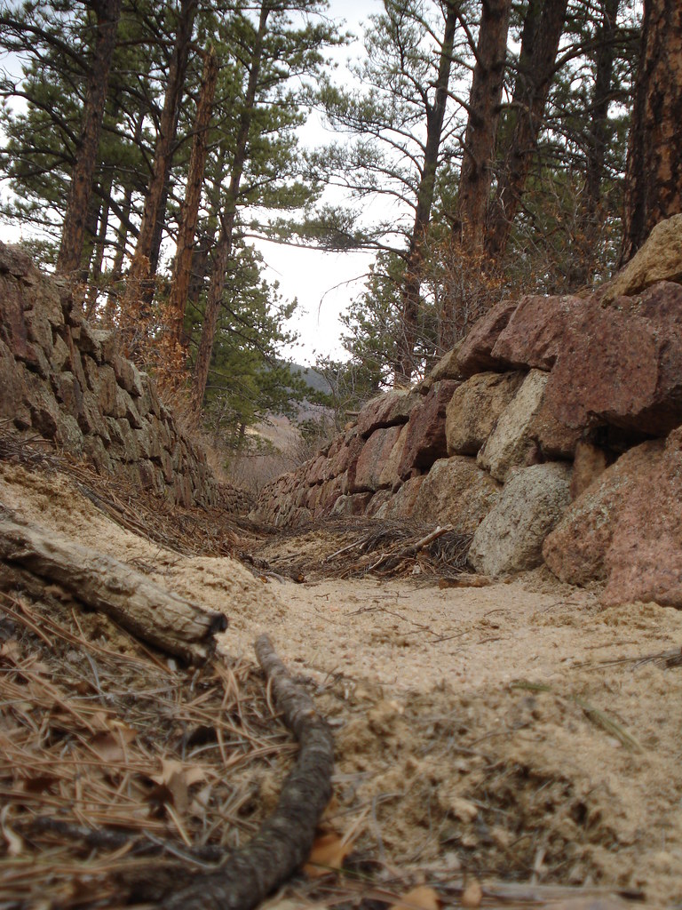 MonumentHiking · ~6 min drivePhoto: bgautrea, CC BY-SA 2.0 (via Flickr)
 La Deux Réservoirs TrailHiking · ~8 min drivePhoto: halseike, CC BY 2.0 (via Flickr)
- I-A FitnessHiking · ~6 min drivePhoto: bgautrea, CC BY-SA 2.0 (via Flickr)
- Spruce Meadows TrailHiking · ~10 min drive
- Eagle Pass TrailHiking · ~9 min drive
- Raspberry Mountain TrailHiking · ~7 min drivePhoto: bgautrea, CC BY-SA 2.0 (via Flickr)
- Falcon TrailHiking · ~11 min drive
- Winding Stairs Connector TrailHiking · ~11 min drive
- Rasberry Mountain TrailHiking · ~8 min drivePhoto: bgautrea, CC BY-SA 2.0 (via Flickr)
Best time to visit The Meadows Trail
Best months: May–July and September–October. Best months have typical highs of 55–85 °F, lows of 30 °F or warmer (32 °F where the station doesn't record snow), at most one snowy day and no more than 12 wet days.
Jan
41° / 16°
6 wet
Feb
43° / 18°
6 wet
Mar
50° / 23°
9 wet
Apr
57° / 29°
9 wet
May
68° / 39°
10 wet
Jun
79° / 47°
11 wet
Jul
83° / 54°
12 wet
Aug
80° / 52°
13 wet
Sep
72° / 43°
8 wet
Oct
60° / 33°
6 wet
Nov
48° / 22°
8 wet
Dec
41° / 17°
7 wet
Typical high / low (°F) and days with rain or snow, 1991–2020. Measured at Monument, CO, 1.6 mi away at 7,080 ft. This station doesn't record snowfall. Source: NOAA NCEI U.S. Climate Normals 1991–2020.

Map and trail data © OpenStreetMap contributors
