The Marsh Trail
- 0.4 mi
- round trip
- 210 ft
- climb
- 7,366 ft
- high point
- Out and back
- route
- May–Jul, Sep–Oct
- best months
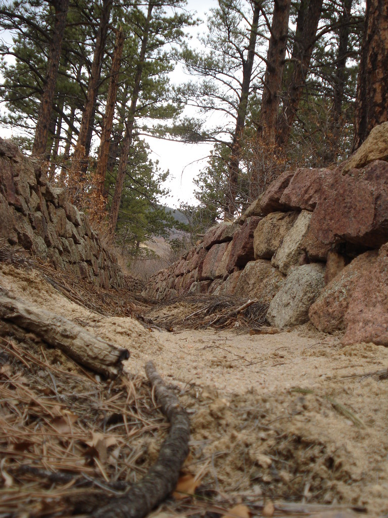
The Marsh Trail is a short, easy out-and-back hike in Colorado, about 0.7 miles from the town of Woodmoor. The route starts at 7,257 feet and climbs to 7,366 feet, a total gain of 210 feet, before returning to the trailhead. The steepest stretch comes early, at about 0.06 miles in, with a 7% grade. The most comfortable months for a visit are typically June and September. Typical averages from the nearby Monument weather station show June highs around 79°F and September highs around 72°F, with July the warmest month at about 83°F. The trip takes about half an hour. The Meadows Trail lies about 1.2 miles away, and Todd's Track Trail is about 3.1 miles off. Climbers can head to Main Boulder, about 4.4 miles away, and Tent City campground is about 5.2 miles away.
Local outfitters
- Broadmoor Outfitters22 mi away
- Gold Belt Tour Scenic and Historic Byway38 mi away
Not on Roamze yet. Their page has how to reach them.
- The Meadows TrailHiking1.2 mi
- new santa fe regional trailMountain biking2.4 mi
 TODD'S TRACK TRAILHikingPhoto: TimnCJ, CC BY-SA 2.0 (via Flickr)3.1 mi
 Main BoulderRock climbingPhoto: bgautrea, CC BY-SA 2.0 (via Flickr)4.4 mi
- Highball BoulderRock climbingPhoto: bgautrea, CC BY-SA 2.0 (via Flickr)4.4 mi
- Tent CityCamping5.2 mi
- Peregrine Pines Family CampCamping7.3 mi
 Monument CreekCanoeingPhoto: Jeffrey Beall, CC BY 4.0 (via Wikimedia Commons)7.5 mi
Source: Roamze catalog (indexable pages within 10 miles, PostGIS distance)
- TODD'S TRACK TRAILHiking · ~5 min drivePhoto: TimnCJ, CC BY-SA 2.0 (via Flickr)
 La Deux Réservoirs TrailHiking · ~7 min drivePhoto: halseike, CC BY 2.0 (via Flickr)
 MonumentHiking · ~6 min drivePhoto: bgautrea, CC BY-SA 2.0 (via Flickr)
- I-A FitnessHiking · ~6 min drivePhoto: bgautrea, CC BY-SA 2.0 (via Flickr)
- Eagle Pass TrailHiking · ~7 min drive
- Spruce Meadows TrailHiking · ~8 min drive
- Raspberry Mountain TrailHiking · ~7 min drivePhoto: bgautrea, CC BY-SA 2.0 (via Flickr)
- Winding Stairs Connector TrailHiking · ~10 min drive
- Falcon TrailHiking · ~13 min drive
- Rasberry Mountain TrailHiking · ~8 min drivePhoto: bgautrea, CC BY-SA 2.0 (via Flickr)
Best time to visit The Marsh Trail
Best months: May–July and September–October. Best months have typical highs of 55–85 °F, lows of 30 °F or warmer (32 °F where the station doesn't record snow), at most one snowy day and no more than 12 wet days.
Jan
41° / 16°
6 wet
Feb
43° / 18°
6 wet
Mar
50° / 23°
9 wet
Apr
57° / 29°
9 wet
May
68° / 39°
10 wet
Jun
79° / 47°
11 wet
Jul
83° / 54°
12 wet
Aug
80° / 52°
13 wet
Sep
72° / 43°
8 wet
Oct
60° / 33°
6 wet
Nov
48° / 22°
8 wet
Dec
41° / 17°
7 wet
Typical high / low (°F) and days with rain or snow, 1991–2020. Measured at Monument, CO, 1.2 mi away at 7,080 ft. This station doesn't record snowfall. Source: NOAA NCEI U.S. Climate Normals 1991–2020.

Map and trail data © OpenStreetMap contributors
