Spruce Meadows Trail
- 8.4 mi
- distance
- 800 ft
- climb
- 9,200 ft
- high point
- Hard
- difficulty
Spruce Meadows Trail is a hard hike in Colorado's Douglas Heights, on land managed by a non-governmental organization. The trail is about 8.35 miles long and gains about 800 feet in elevation, with a high point near 9,200 feet. The route takes roughly three hours to complete. The climb is steady, and the trail is rated hard, so plan on a full day rather than a quick outing. Several other outdoor spots sit close by. The Greenland Trail, a mountain biking route, is about 0.3 miles away, and the Kipps Trail, another hike, is about 0.7 miles off. For an overnight stay, Yogi Bear's Jellystone Park Larkspur campground is about 6 miles away. Climbers can head to Main Boulder, roughly 7.7 miles from the trail.
Local outfitters
- Broadmoor Outfitters27 mi away
- Gold Belt Tour Scenic and Historic Byway41 mi away
Not on Roamze yet. Their page has how to reach them.
- greenland trailMountain biking0.3 mi
- Kipps TrailHiking0.7 mi
- eagle pass trailMountain biking1.2 mi
 Yogi Bear's Jellystone Park LarkspurCampingPhoto: Jacob Montgomery, CC BY-SA 3.0 (via Wikimedia Commons)6 mi
 Main BoulderRock climbingPhoto: bgautrea, CC BY-SA 2.0 (via Flickr)7.7 mi
- Highball BoulderRock climbingPhoto: bgautrea, CC BY-SA 2.0 (via Flickr)7.7 mi
- Skull Crusher BoulderRock climbingPhoto: bgautrea, CC BY-SA 2.0 (via Flickr)7.8 mi
- Tent CityCamping9.8 mi
Source: Roamze catalog (indexable pages within 10 miles, PostGIS distance)
 Sundance Valley TrailHiking · ~9 min drivePhoto: halseike, CC BY 2.0 (via Flickr)
- La Deux Réservoirs TrailHiking · ~9 min drivePhoto: halseike, CC BY 2.0 (via Flickr)
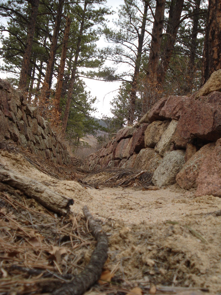 MonumentHiking · ~12 min drivePhoto: bgautrea, CC BY-SA 2.0 (via Flickr)
 Ice Cave Creek TrailHiking · ~10 min drivePhoto: halseike, CC BY 2.0 (via Flickr)
- Eagle Pass TrailHiking · ~2 min drive
- Dawson Butte TrailHiking · ~15 min drive
- Swank TrailHiking · ~10 min drivePhoto: halseike, CC BY 2.0 (via Flickr)
- Spruce Meadows TrailHiking · ~4 min drive
- Inlet TrailHiking · ~11 min drivePhoto: halseike, CC BY 2.0 (via Flickr)
- Winding Stairs Connector TrailHiking · ~12 min drive

Map and trail data © OpenStreetMap contributors
