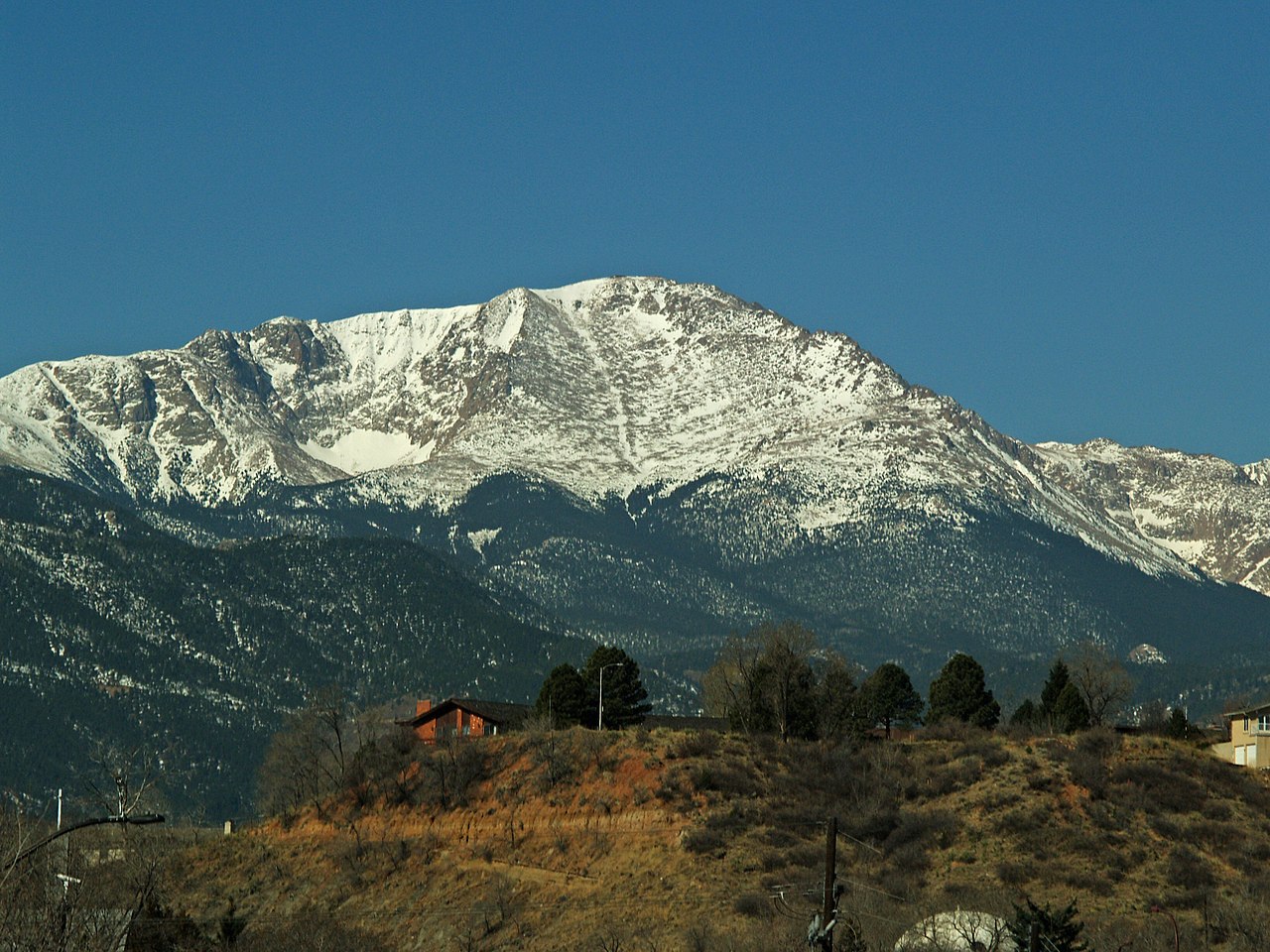
The Crags Campground
Campground
Campground · 0.1 mi from the trail
Caution at last check
Agency alerts are in effect for this area; weather is good · USFS, OpenWeather · checked 12 h ago
Alert in the area
The Forest Service lists 11 alerts for Pike and San Isabel National Forests.
FSR 286, Radical Hill, is closed due to washouts and unsafe conditions
Agency alert covering Pike and San Isabel National Forests · USFS · Pike and San Isabel National Forests
Interlaken Hotel Tree Hazards
Agency alert covering Pike and San Isabel National Forests · USFS · Pike and San Isabel National Forests
Sharpe Fire Update
Agency alert covering Pike and San Isabel National Forests · USFS · Pike and San Isabel National Forests
Turquoise Lake Road (County Road 4) Closure
Agency alert covering Pike and San Isabel National Forests · USFS · Pike and San Isabel National Forests
Waldo Canyon Burn Area Closure
Agency alert covering Pikes Peak Ranger District · Order 02-12-09-24-07 · USFS · Pikes Peak Ranger District
As of · Source: USFS · Pike and San Isabel National Forests. Agencies don't list every closure — check before you go.
The Crags Trail is a 2.4-mile out-and-back hike located in Colorado. This relatively short trail offers an accessible option for hikers of varying experience levels. The out-and-back format means you'll retrace your route on the return journey, making it easy to turn back at any point if needed. The trail's moderate distance makes it suitable for a half-day adventure, whether you're looking for a quick workout or a leisurely morning hike. The out-and-back design eliminates the need for shuttle arrangements or complex logistics, allowing you to focus on enjoying the natural surroundings. Located in Colorado, this trail takes advantage of the state's diverse landscape and scenic terrain. The Crags Trail provides a straightforward hiking experience without the complexity of loop trails or longer multi-day treks. This trail is ideal for those seeking a manageable day hike in the Colorado area. Whether you're a local or visiting the region, the Crags Trail offers a convenient outdoor option that doesn't require extensive preparation or an entire day commitment.
The Crags Campground
Campground
 If it rainsJeffrey Beall, CC BY 3.0 · Wikimedia Commons
Cripple Creek District Museum
Museum
History museum in Cripple Creek, Colorado
Places © OpenStreetMap contributors · Photos: Jeffrey Beall, CC BY 3.0 (commons)
More in GuffeyNot on Roamze yet. Their page has how to reach them.
Source: Roamze catalog (indexable pages within 10 miles, PostGIS distance)
 Aspen TrailHiking · ~4 min drivePhoto: Sack-Sama, CC BY-SA 2.0 (via Flickr)
 Preacher's Hollow TrailHiking · ~6 min drivePhoto: Sack-Sama, CC BY-SA 2.0 (via Flickr)
 Ranger Ridge TrailHiking · ~5 min drivePhoto: Sack-Sama, CC BY-SA 2.0 (via Flickr)
 Four Mile OverlookHiking · ~6 min drivePhoto: Sack-Sama, CC BY-SA 2.0 (via Flickr)
 Stoner Mill TrailHiking · ~5 min drivePhoto: Sack-Sama, CC BY-SA 2.0 (via Flickr)
 Rock CanyonHiking · ~7 min drivePhoto: Sack-Sama, CC BY-SA 2.0 (via Flickr)School Pond LoopHiking · ~5 min drivePhoto: Sack-Sama, CC BY-SA 2.0 (via Flickr)
Best months: May–September. Best months have typical highs of 55–85 °F, lows of 30 °F or warmer (32 °F where the station doesn't record snow), at most one snowy day and no more than 12 wet days.
Jan
34° / 14°
Feb
36° / 15°
Mar
43° / 21°
Apr
49° / 26°
May
59° / 34°
Jun
71° / 44°
Jul
76° / 49°
Aug
72° / 47°
Sep
67° / 41°
Oct
55° / 30°
Nov
43° / 23°
Dec
34° / 14°
Typical high / low (°F) and days with rain or snow, 1991–2020. Measured at Cripple Creek 3nnw, CO, 6.8 mi away at 9,235 ft. The station sits about 1,600 ft lower than this place, so expect it a little cooler here. This station doesn't record snowfall. Source: NOAA NCEI U.S. Climate Normals 1991–2020.
Map and trail data © OpenStreetMap contributors