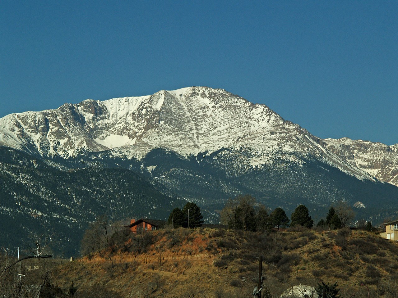
Crags Campground
Campground
Campground · 3.2 mi from the trail
 Photo: Xnatedawgx, CC BY-SA 4.0 (via Wikimedia Commons)
Alert in the area
The Forest Service lists 11 alerts for Pike and San Isabel National Forests.
FSR 286, Radical Hill, is closed due to washouts and unsafe conditions
Agency alert covering Pike and San Isabel National Forests · USFS · Pike and San Isabel National Forests
Interlaken Hotel Tree Hazards
Agency alert covering Pike and San Isabel National Forests · USFS · Pike and San Isabel National Forests
Sharpe Fire Update
Agency alert covering Pike and San Isabel National Forests · USFS · Pike and San Isabel National Forests
Turquoise Lake Road (County Road 4) Closure
Agency alert covering Pike and San Isabel National Forests · USFS · Pike and San Isabel National Forests
Waldo Canyon Burn Area Closure
Agency alert covering Pikes Peak Ranger District · Order 02-12-09-24-07 · USFS · Pikes Peak Ranger District
As of · Source: USFS · Pike and San Isabel National Forests. Agencies don't list every closure — check before you go.
Pancake Rocks is a mountain biking route in the Pikes Peak Ranger District of the Pike and San Isabel National Forests in Colorado, managed by the Forest Service. The trail is about 2 miles long, with a one-way climb of 963 feet from a starting elevation of about 10,090 feet to a high point near 11,000 feet. The steepest stretch comes at about the 1-mile mark, where the grade reaches 28%. The Pancake Rocks Trail (FS704A) is the route to ride, and it sits about 0.6 miles from the Horsethief Falls Trail (FS704AA) and the Horsethief Falls hike. Crags Campground is about 3 miles away for an overnight stay, and Pike's Peak, a climbing area, is about 4 miles off.
Crags Campground
Campground
Winfield's
Steakhouse
 If it rainsJeffrey Beall, CC BY 3.0 · Wikimedia Commons
Cripple Creek District Museum
Museum
History museum in Cripple Creek, Colorado
Places © OpenStreetMap contributors, Places © Overture Maps Foundation · Photos: Jeffrey Beall, CC BY 3.0 (commons)
More in GuffeyNot on Roamze yet. Their page has how to reach them.
Source: Roamze catalog (indexable pages within 10 miles, PostGIS distance)
Map and trail data © OpenStreetMap contributors