Snowslide Trail
- 5.4 mi
- round trip
- 3,584 ft
- climb
- 11,536 ft
- high point
- Out and back
- route
Is Snowslide Trail open right now?
Closure in the area
There's a closure order in San Carlos Ranger District. It doesn't name Snowslide Trail, so check the source for the area it covers.
East Bear Gulch NFST 1333 seasonal closure
Agency closure covering San Carlos Ranger District · Order 02-12-03-26-14 · USFS · San Carlos Ranger District
Reduced Aspen Acres Fire closure order
Agency alert covering San Carlos Ranger District · Order 02-12-03-26-43 · USFS · San Carlos Ranger District
FSR 286, Radical Hill, is closed due to washouts and unsafe conditions
Agency alert covering Pike and San Isabel National Forests · USFS · Pike and San Isabel National Forests
Interlaken Hotel Tree Hazards
Agency alert covering Pike and San Isabel National Forests · USFS · Pike and San Isabel National Forests
Sharpe Fire Update
Agency alert covering Pike and San Isabel National Forests · USFS · Pike and San Isabel National Forests
As of · Source: USFS · San Carlos Ranger District. Agencies don't list every closure — check before you go.
Snowslide Trail is an out-and-back hike of about 10.8 miles in the San Carlos Ranger District of the Pike and San Isabel National Forests in Colorado. It begins at a low point of 8,782 feet and climbs to a high point of 11,536 feet, with a total gain of 3,584 feet over the course of the round trip. That makes the route a serious proposition, and its front-loaded profile means the most dramatic climb comes early on. The trail is rated expert, and its steepest stretch occurs at about 3.6 miles in, where the grade reaches 42 percent. Plan on about 5.5 hours for the round trip, and know that the Forest Service manages the land. Lake Isabel Cabin sits just 0.6 miles away, and Southside Campground and Lake Shore Ada are each about a mile off. The Cisneros Trail 1314 lies roughly 1.8 miles away.
Local outfitters
- Journey Quest42 mi away
- Gold Belt Tour Scenic and Historic Byway49 mi away
Not on Roamze yet. Their page has how to reach them.
- Lake Isabel CabinCamping0.6 mi
 Southside Campground - Lake IsabelCampingPhoto: Recreation.gov (RIDB) / public domain1 mi
- Lake Shore AdaHiking1 mi
- LakeshoreHiking1 mi
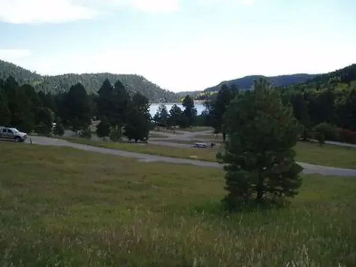 La Vista Campground - Lake IsabelCampingPhoto: Recreation.gov (RIDB) / public domain1.1 mi
- Southside CampgroundCamping1.1 mi
- Cisneros Trail 1314Hiking1.8 mi
- North Saint Charles RiverCanoeing9 mi
Source: Roamze catalog (indexable pages within 10 miles, PostGIS distance)
 Lewis Creek TrailHiking · ~27 min drivePhoto: Kimaz2412, CC BY 2.0 (via Flickr)
- LakeshoreHiking · ~2 min drive
- Cisneros Trail 1314Hiking · ~3 min drive
- Pole CreekHiking · ~14 min drive
- Medano PassHiking · ~40 min drive
- MillsetHiking · ~6 min drive
- Wachob TrailHiking · ~3 min drive
- Saint Charles TrailHiking · ~5 min drive
- Mount HerardHiking · ~40 min drive
- GreenhornHiking · ~8 min drive
Map and trail data © OpenStreetMap contributors
