Pole Creek
- 6.5 mi
- round trip
- 3,441 ft
- climb
- 11,244 ft
- high point
- Out and back
- route
Is Pole Creek open right now?
Closure in the area
There's a closure order in San Carlos Ranger District. It doesn't name Pole Creek, so check the source for the area it covers.
East Bear Gulch NFST 1333 seasonal closure
Agency closure covering San Carlos Ranger District · Order 02-12-03-26-14 · USFS · San Carlos Ranger District
Reduced Aspen Acres Fire closure order
Agency alert covering San Carlos Ranger District · Order 02-12-03-26-43 · USFS · San Carlos Ranger District
FSR 286, Radical Hill, is closed due to washouts and unsafe conditions
Agency alert covering Pike and San Isabel National Forests · USFS · Pike and San Isabel National Forests
Interlaken Hotel Tree Hazards
Agency alert covering Pike and San Isabel National Forests · USFS · Pike and San Isabel National Forests
Sharpe Fire Update
Agency alert covering Pike and San Isabel National Forests · USFS · Pike and San Isabel National Forests
As of · Source: USFS · San Carlos Ranger District. Agencies don't list every closure — check before you go.
Pole Creek is a moderate out-and-back hike in the San Carlos Ranger District of the Pike and San Isabel National Forests in Colorado, about 8 miles from the town of San Isabel. The trail is managed by the Forest Service and runs roughly 13 miles round trip, with a one-way climb of about 3,263 feet from a low point of 8,570 feet to a high of 11,244 feet. The route is front-loaded, so the steepest part comes early. The most comfortable time to go is summer, when typical averages from a nearby weather station run in the low to mid 80s °F. Winter brings typical averages near zero. The Pole Creek Spur lies about a mile away, and the Prayer Pole Trail is about 4 miles off. For an overnight stay, Spruce Group Campground and Ponderosa Group - Lake Isabel are both about 7 miles away.
Local outfitters
- Journey Quest41 mi away
- San Luis Valley Campground47 mi away
Not on Roamze yet. Their page has how to reach them.
- POLE CREEK SPURHiking1.2 mi
- Prayer Pole TrailHiking3.9 mi
- west cisneroMountain biking4.2 mi
- Saint Charles TrailHiking6.2 mi
 Ponderosa Group - Lake IsabelCampingPhoto: Recreation.gov (RIDB) / public domain6.8 mi
- SPRUCE GROUP - LAKE ISABELCamping6.8 mi
- Spruce Group CampgroundCamping6.9 mi
- Muddy CreekCanoeing8.6 mi
Source: Roamze catalog (indexable pages within 10 miles, PostGIS distance)
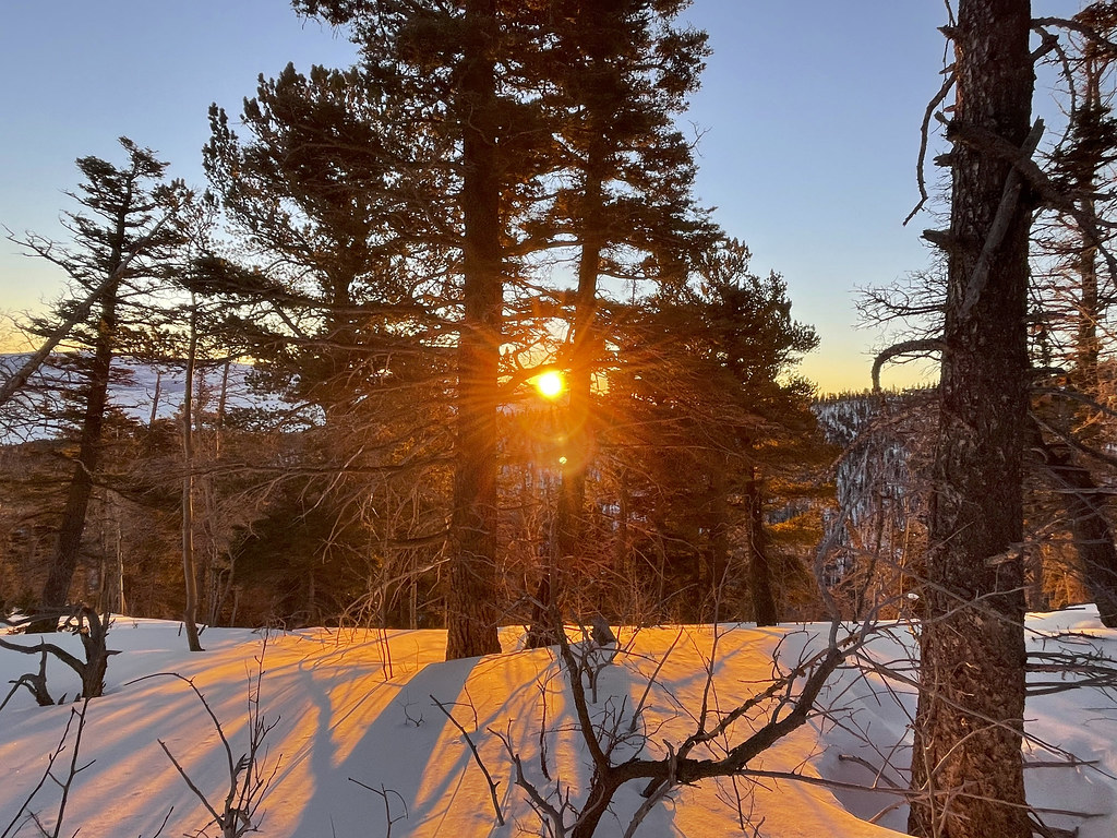 Crestone NeedleHiking · ~32 min drivePhoto: kalestews, CC BY 2.0 (via Flickr)
- POLE CREEK SPURHiking · ~2 min drive
- Prayer Pole TrailHiking · ~7 min drive
- Saint Charles Trail 1326Hiking · ~13 min drive
- Medano PassHiking · ~26 min drive
- Snowslide TrailHiking · ~14 min drive
- LakeshoreHiking · ~14 min drive
- Saint Charles TrailHiking · ~11 min drive
- BartlettHiking · ~15 min drive
- Music MountainHiking · ~29 min drive

Map and trail data © OpenStreetMap contributors
