

San Luis Valley Campground
Hiking business nearby (~38 mi away) — hasn't claimed their Roamze page yet
Medano Pass
Free — you'll pick up right here.
Save this plan
Sign up to save your own editable copy — you'll pick up right here.
Colorado
No conditions check on file for this trail yet — always verify current conditions before you go.
Medano Pass
AI-suggested draft · review before you go
No elevation data on file for this trail.
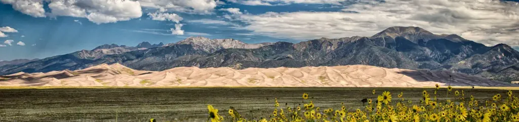
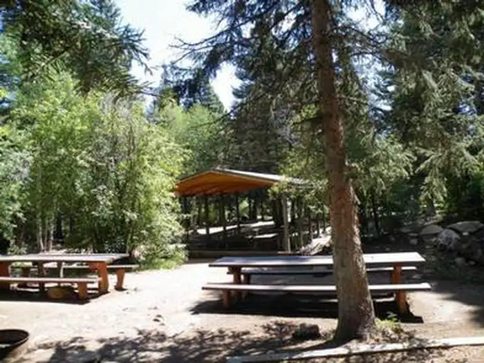
Medano Pass was likely the historic route used by Zebulon Pike in January 1807 as he led an expedition to explore this region. Today Medano Pass is primarily traveled by 4WD vehicle, on a rough 22-mile road connecting Great Sand Dunes with the Wet Mountain Valley and Colorado State Highway 69. Passable only in the warmer months and only with high-clearance 4-wheel-drive vehicles, it gives access to Medano Pass (elevation 10,040’) and Great Sand Dunes National Preserve. This road crosses areas of deep sand, traverses Medano Creek nine times, and passes through excellent habitat for bighorn sheep. Average driving time for the entire primitive road is about 2.5 - 3 hours. Reduce tire pressure to about 20 psi if the sand is dry and soft. A free air station is available near the south entrance to the road in warmer months between the hours of 7AM and 9PM. If you reduce pressure, you will need to reinflate using your own air compressor before driving over rocks in Medano Canyon. Drive through creek crossings slowly to avoid drowning your engine. Mileage Chart Set your odometer to zero at the western entrance of the primitive road to follow along with this guide. 0.0 End of Paved Road: start of Medano Pass Primitive Road. 0.2 Garden Creek: flows until mid-summer 0.5 Buck Creek: intermittent stream 1.0 Sawmill Creek: flows until mid-summer. 1.1 Point of No Return: 4WD vehicles ONLY past this point. Sand Ramp Trail access. 1.4 Ponderosa Point Picnic Area: view of Mt. Herard (13,297’) and dunes. 1.8 Sand Pit: DEEP SAND! Reduce tire pressure to about 20 pounds if sand is soft 2.6 Castle Creek Picnic Area: picnic tables, vault toilet. Park only in designated areas. 3.3 Horse Canyon: views of eastern dunes and foothills. 4.5 1st Crossing of Medano Creek: spring runoff can be very deep! Use caution. 4.6 Old Fire Road: closed to vehicles. 1/2 mile walk to ridge with good views. 5.0 Sand Ramp Trail: trail crosses road. Overnight backpacking permit required. 5.2 Park/Preserve Boundary: roadside campsites begin, numbered by mileage fromboundary. 8 campsites over next 0.3 mile. 5.6 2nd Crossing of Medano Creek 5.9 More Campsites: 2 campsites over next 0.5 mile. 6.1 3rd Crossing of Medano Creek: look for bighorn sheep in meadows and cliffs. 6.2 Herard family’s 1870s homestead site (only foundation remains). 6.4 4th Crossing of Medano Creek 6.8 5th crossing of Medano Creek: 4 campsites over next 0.9 mile. 6.9 Tight squeeze: narrow roadway, boulders on roadsides. Use caution! 7.2 6th crossing of Medano Creek 7.7 Crossing of a Tributary Creek 7.8 Two alternatives: left side usually best. 7.9 7th Crossing of Medano Creek: road steeper ahead. 8.4 More campsites: 1 campsite within next 0.3 mile. 8.6 Creek Crossing of a Tributary Creek. 8.8 Beaver Dams: long meadows, marsh, and beaver dams. 9.0 Three Cabins: burned in 2010 wildfire. 9.5 More Campsites: 6 campsites over next 1.5 miles. 9.6 8th Crossing of Medano Creek 10.6 Creek crossing of a Tributary Creek. 10.7 Medano Lake Trailhead: trailhead at end of short spur road. 11.0 Irrigation ditch: steep section ahead. 11.2 Medano Pass: elevation 10,040’ above sea level. Medano Road Camping Information Roadside camping is permitted only at 21 numbered campsites in Great Sand Dunes National Preserve beginning 5.2 miles from where the road begins near Piñon Flats Campground. These sites are indicated with a brown post and camping symbol, and are numbered by approximate road mileage from the Park/Preserve boundary to Medano Pass. Numbers in parentheses are approximate road mileage from Medano Pass down to the Preserve/Park boundary. Roadside car camping is only permitted in designated sites in the national preserve. Vehicle access to these sites is only available late spring through fall, depending on snow, creek, and road conditions.These designated sites are free of charge and first-come, first-served. All 21 sites fill on summer weekends. Camping Regulations for Medano Road Campsites Camping is permitted in designated, marked sites only in the national preserve. No permits are necessary. Tents must be located within 40 feet of the front of the bear box at each site. Pets must be leashed or restrained at all times. Fires only in existing fire rings; put out completely with water. Gather dead and down firewood 4” or less diameter. No off-road driving. Vehicles must be highway-legal in Colorado. Park only in designated campsites or parking areas. Secure food, coolers, toiletries, and trash from black bears. Lock them in the bear boxes provided at most sites. All trash, including orange peels, egg shells and toilet paper, must be removed. Bury human waste 6” deep. Mountain Bikes and Fat Bikes Standard mountain bikes can ride on the Medano Pass Road from its southern entrance to Point of No Return, a 1 mile trek. Beyond that, soft sand conditions require fat bikes (mountain bikes with extra wide tires for sand). Fat bikes are permitted on the Medano Pass Primitive Road, both for day use and for overnight camping in Medano Canyon. Check current sand conditions before riding; if sand gets too soft and dry, travel may not be possible. Bikes are not permitted off-road. You will be sharing the road with vehicles, some traveling at higher speeds in order to make it through sandy sections. For your safety, listen and watch carefully for vehicles as you ride. There are no bike racks along the road, but you may secure your bike onto fire grates provided at campsites, or to signs at parking areas.
Hidden Dune
~12 min drive
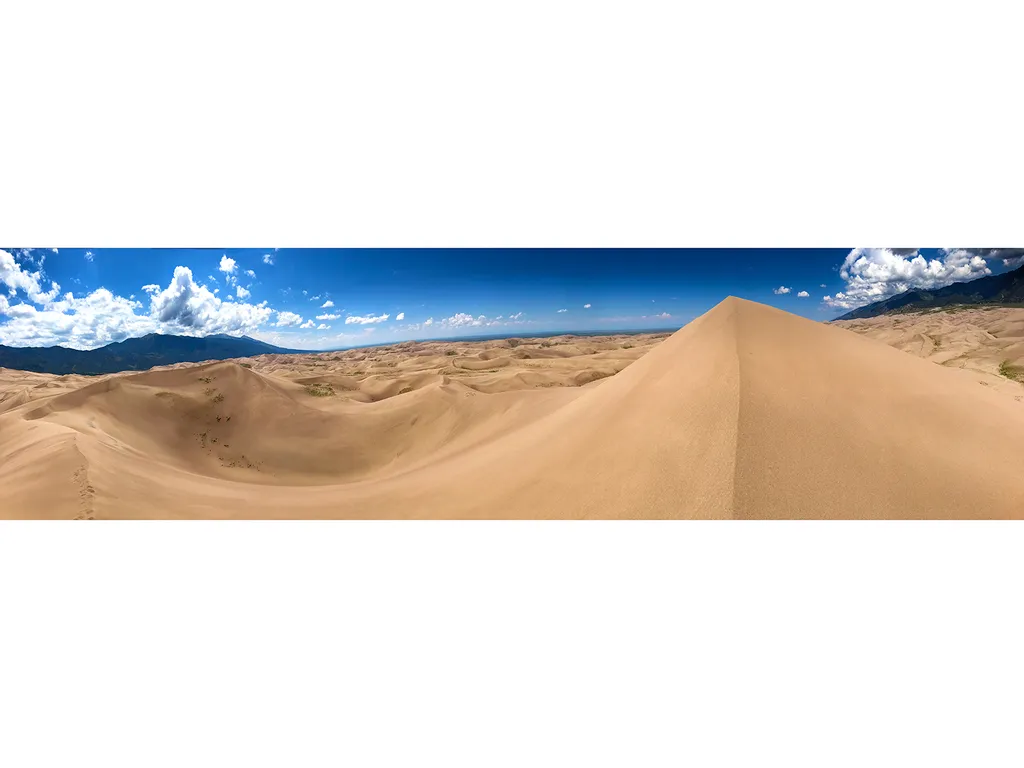
Hidden Dune is currently tied with Star Dune as the two tallest dunes in North America at 741 feet/225 m. Hidden Dune is named for its remote location in the dunefield, where it is not visible from most of the main visitor day use areas. It is even hidden from much of the high…
Sand Creek Basin
~14 min drive
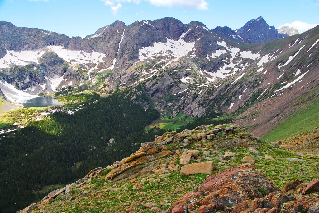
<p>Sand Creek Basin is part of the alpine watershed of Great Sand Dunes National Preserve. A longer drive and hike is required to reach these lakes and peaks, but the mountain scenery is worth the effort. Check with a ranger for conditions before travel. Snow may block these t…

Zapata
~25 min drive
3.7 mi · Moderate
Huerfano
~25 min drive
8.7 mi · Hard
High Dune on First Ridge
~15 min drive
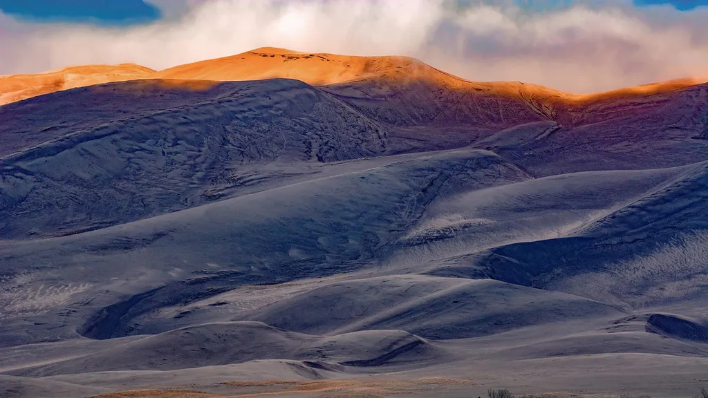
The high dune on the first ridge is neither the highest in elevation nor the tallest in the dunefield, but it looks that way from the main parking lot. This is the most common destination in the dunefield, providing a great view of the entire dunefield. It is about 692 feet (2…
Mosca Pass
~15 min drive
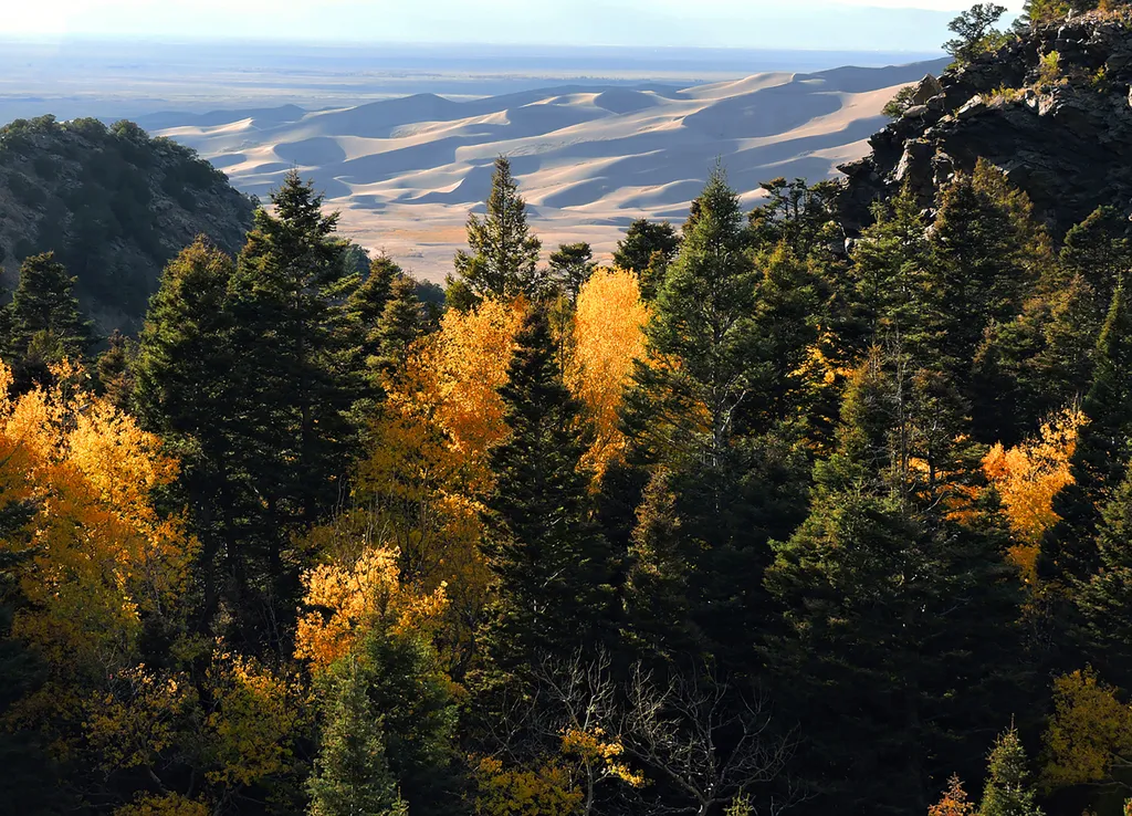
<p>Just above the dunefield are forests of aspen, pine, fir, and spruce. The easiest hiking access to forest in the national park is in Mosca Pass, on the Montville Nature Trail and Mosca Pass Trail. On these trails, you are walking in the footsteps of Pleistocene mammoth hunt…

Willow Lake
~26 min drive
9.7 mi · Moderate
Ute
~25 min drive
6.8 mi · Hard
Medano Creek
~15 min drive
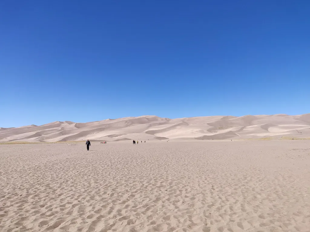
<p>Medano Creek is a popular seasonal stream enjoyed by all ages. On this page you'll learn what to expect month-by-month in an average year, and how the rare phenomon 'surge flow' works. You can also link to <a href="https://www.nps.gov/grsa/planyourvisit/medano-creek.htm">cu…

Humboldt
~19 min drive
2.7 mi · Easy
Local operatorsoffering guided trips. You book directly with them — Roamze doesn’t take a cut.
San Luis Valley Campground
Hiking business nearby (~38 mi away) — hasn't claimed their Roamze page yet
Journey Quest
Hiking business nearby (~39 mi away) — hasn't claimed their Roamze page yet
Black Bear Retreat
Hiking business nearby (~47 mi away) — hasn't claimed their Roamze page yet