Saint Charles Arch
- 7,629 ft
- elevation
- Forest Service
- managed by
- Apr–Jun, Sep–Oct
- best months
Is Saint Charles Arch open right now?
Closure in the area
There's a closure order in San Carlos Ranger District. It doesn't name Saint Charles Arch, so check the source for the area it covers.
East Bear Gulch NFST 1333 seasonal closure
Agency closure covering San Carlos Ranger District · Order 02-12-03-26-14 · USFS · San Carlos Ranger District
Reduced Aspen Acres Fire closure order
Agency alert covering San Carlos Ranger District · Order 02-12-03-26-43 · USFS · San Carlos Ranger District
FSR 286, Radical Hill, is closed due to washouts and unsafe conditions
Agency alert covering Pike and San Isabel National Forests · USFS · Pike and San Isabel National Forests
Interlaken Hotel Tree Hazards
Agency alert covering Pike and San Isabel National Forests · USFS · Pike and San Isabel National Forests
Sharpe Fire Update
Agency alert covering Pike and San Isabel National Forests · USFS · Pike and San Isabel National Forests
As of · Source: USFS · San Carlos Ranger District. Agencies don't list every closure — check before you go.
Saint Charles Arch is a natural arch in Colorado's San Carlos Ranger District, part of the Pike and San Isabel National Forests. It sits at about 7,629 feet, roughly 5.6 miles from the town of Rye, and the Forest Service manages the surrounding land. The most comfortable months for a visit are typically June through September. Typical averages from a nearby weather station in Rye show highs around 79°F in June and 73°F in September, with July the warmest at about 82°F. That station sits a few hundred feet lower than the arch, so temperatures at the arch run slightly cooler. Several trails and camps lie within a few miles. Snowslide Trail and San Carlos Trail #1320 are both about 2.3 miles away, and YMCA Camp Jackson is about 2.4 miles off. Lake Isabel Cabin is about 2.7 miles away.
- Elevation
- 7,629 ft
- Land manager
- Forest Service
Elevation from USGS 3D Elevation Program terrain data (about 10 m resolution).
- Snowslide TrailHiking2.3 mi
- San Carlos Trail #1320Hiking2.3 mi
- YMCA Camp JacksonCamping2.4 mi
- San Isabel Scout RanchCamping2.6 mi
- Lake Isabel CabinCamping2.7 mi
- MillsetHiking2.8 mi
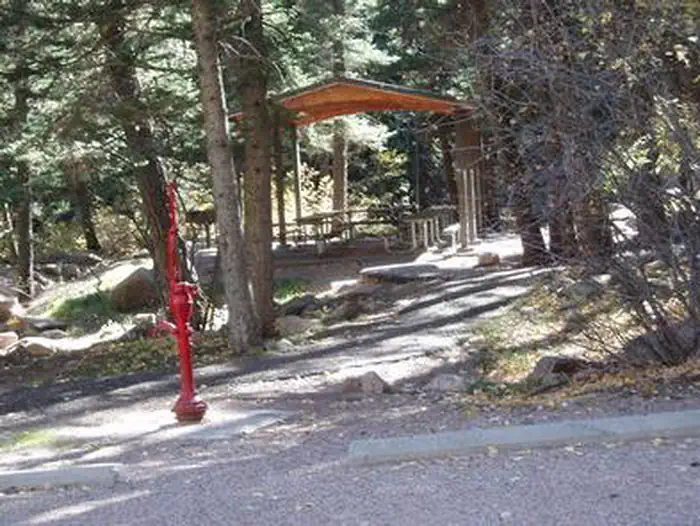 Spruce Group - Lake IsabelLake fishing3.8 mi
- North Saint Charles RiverCanoeing7.2 mi
Source: Roamze catalog (indexable pages within 10 miles, PostGIS distance)
Best time to visit Saint Charles Arch
Best months: April–June and September–October. Best months have typical highs of 55–85 °F, lows of 30 °F or warmer (32 °F where the station doesn't record snow), at most one snowy day and no more than 12 wet days.
Jan
44° / 23°
7 wet
Feb
45° / 24°
7 wet
Mar
52° / 30°
9 wet
Apr
58° / 35°
10 wet
May
67° / 44°
10 wet
Jun
79° / 53°
10 wet
Jul
82° / 58°
13 wet
Aug
79° / 56°
13 wet
Sep
73° / 50°
8 wet
Oct
62° / 39°
7 wet
Nov
51° / 30°
6 wet
Dec
43° / 23°
7 wet
Typical high / low (°F) and days with rain or snow, 1991–2020. Measured at Rye 1sw, CO, 5.5 mi away at 7,141 ft. This station doesn't record snowfall. Source: NOAA NCEI U.S. Climate Normals 1991–2020.
