Designated Campsite
Campground
Campground · 2.5 mi from the trail
Alert in the area
The Forest Service lists 6 alerts for White River National Forest.
FSR 286, Radical Hill, is closed due to washouts and unsafe conditions
Agency alert covering White River National Forest · USFS · White River National Forest
Limited parking at Snowmass Creek Trailhead
Agency alert covering White River National Forest · USFS · White River National Forest
Grizzly Creek Trail Closure
Agency alert covering White River National Forest · Order 2026-02 · USFS · White River National Forest
Ruedi Marina Day Use area Dump Station is CLOSED
Agency alert covering White River National Forest · USFS · White River National Forest
Asbestos safety closure - Camp Hale
Agency alert covering White River National Forest · USFS · White River National Forest
As of · Source: USFS · White River National Forest. Agencies don't list every closure — check before you go.
Mount Wilcox is a high, steep out-and-back hike in Colorado's White River National Forest, within the Dillon Ranger District. The route is about 10.6 miles long, and the climb to the summit of 13,163 feet adds about 5,843 feet of elevation gain over the course of the trip. That makes it a demanding day for anyone heading out from the trailhead. The Forest Service manages the land, and the route is rated expert. The high point sits at 13,163 feet, and the total gain and loss are each about 5,843 feet, so the hike is as much about the climb up as the descent back down. The trip takes about 6.5 hours. The peak is close to two other high points, Argentine Peak and Mount Edwards, each about 0.1 mile away. Guanella Pass Campground is about 4.4 miles off, and Clear Lake Campground is about 5.7 miles away.
Designated Campsite
Campground
 If it rainsUser:Magicpiano, CC BY-SA 4.0 · Wikimedia Commons
Historic house-museum in Georgetown, Colorado, United States
Places © OpenStreetMap contributors, Places © Overture Maps Foundation · Photos: User:Magicpiano, CC BY-SA 4.0 (commons)
More in Idaho SpringsDaily highs and lows, wind and the chance of precipitation at the summit and route start for the next 7 days, from the Open-Meteo model.
 Argentine PeakHikingPhoto: QKC, CC BY-SA 3.0 (via Wikimedia Commons)0.1 miMount EdwardsHikingPhoto: QKC, CC BY-SA 3.0 (via Wikimedia Commons)0.1 mi
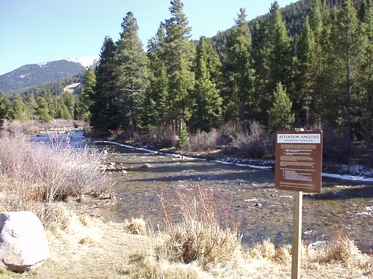 Snake RiverCanoeingPhoto: K.warterbeck, CC BY-SA 3.0 (via Wikimedia Commons)6.3 mi
 Geneva CreekCanoeingPhoto: Plazak, CC BY-SA 3.0 (via Wikimedia Commons)7.1 mi
Source: Roamze catalog (indexable pages within 10 miles, PostGIS distance)
Upper lakes to GraysHiking · ~2 min drivePhoto: QKC, CC BY-SA 3.0 (via Wikimedia Commons)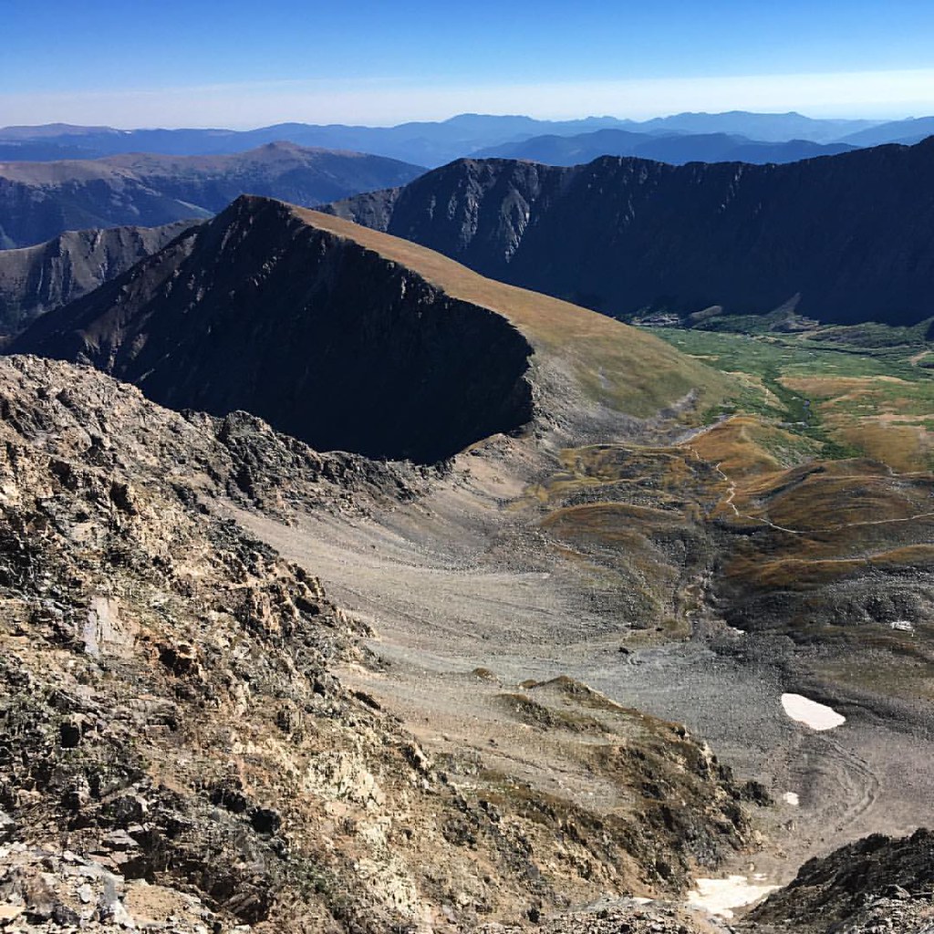 Torreys SummitHiking · ~3 min drivePhoto: gregor_y, CC BY-SA 2.0 (via Flickr)
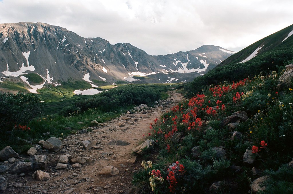 Kelso MountainHiking · ~6 min drivePhoto: MCA / Mike Allyn, CC BY 2.0 (via Flickr)Torreys PeakHiking · ~6 min drivePhoto: MCA / Mike Allyn, CC BY 2.0 (via Flickr)
 Silver Dollar LakeHiking · ~6 min drivePhoto: kalestews, CC BY 2.0 (via Flickr)Kelso RidgeHiking · ~5 min drivePhoto: gregor_y, CC BY-SA 2.0 (via Flickr)Grays PeakHiking · ~6 min drivePhoto: MCA / Mike Allyn, CC BY 2.0 (via Flickr)
 Climbing TrailHiking · ~7 min drivePhoto: gregor_y, CC BY-SA 2.0 (via Flickr)
 Pass LakeHiking · ~9 min drivePhoto: Kimaz2412, CC BY 2.0 (via Flickr)
About 10.6 mi round trip from Argentine Pass Trailhead.
About 5,843 ft of climbing round trip.
It is rated expert.
Argentine Pass Trailhead.
© openrouteservice.org by HeiGIT | Map data © OpenStreetMap contributors


