Silver Creek
- 5.6 mi
- round trip
- 266 ft
- climb
- 9,862 ft
- high point
- Out and back
- route
- Jun–Sep
- best months
Is Silver Creek open right now?
Alert in the area
The Forest Service lists 3 alerts for Medicine Bow-Routt National Forest.
Access Impact: Big Creek Lakes Dam Project
Agency alert covering Medicine Bow-Routt National Forest · USFS · Medicine Bow-Routt National Forest
Trail & Access Impact: Stillwater Reservoir Project
Agency alert covering Medicine Bow-Routt National Forest · USFS · Medicine Bow-Routt National Forest
Snowy Range - 2026 Active Vegetation Operations
Agency alert covering Medicine Bow-Routt National Forest · USFS · Medicine Bow-Routt National Forest
As of · Source: USFS · Medicine Bow-Routt National Forest. Agencies don't list every closure — check before you go.
Silver Creek is a 5.6-mile out-and-back hike in the Yampa Ranger District of the Medicine Bow-Routt National Forest in Colorado, managed by the Forest Service. The trail rises from a low point of 9,580 feet to a high of 9,862 feet, with a total elevation gain of 266 feet. It is a moderate route on natural surface, and horses are allowed. The most comfortable stretch for a visit runs from June through September. Typical averages from a nearby weather station in Spicer, which sits about 1,500 feet lower, show July highs around 77°F and lows near 42°F, while September cools to highs in the upper 60s. Winter is cold, with January highs near 28°F. The Upper Silver Creek Trailhead is the parking for the route, and the trail is open year-round. Red Dirt Reservoir Camground and the Sarvis Creek hike both lie about 3 miles away, and The Dome climbing area is roughly 5 miles off.
Local outfitters
- Rancho Del Rio21 mi away
- Flat Tops Wilderness Guides40 mi away
Not on Roamze yet. Their page has how to reach them.
- Sarvis CreekHiking3.2 mi
- Red Dirt Reservoir CamgroundCamping3.2 mi
- Rock CreekHiking3.5 mi
- The DomeRock climbing4.7 mi
- The ShieldRock climbing5.3 mi
 Muddy CreekCanoeingPhoto: Jeffrey Beall, CC BY 4.0 (via Wikimedia Commons)7.3 mi
- Morrison CreekCanoeing7.3 mi
- Lynx Pass CampgroundCamping7.6 mi
Source: Roamze catalog (indexable pages within 10 miles, PostGIS distance)
 Pinnacle Loop TrailHiking · ~23 min drivePhoto: Peter Alfred Hess, CC BY 2.0 (via Flickr)
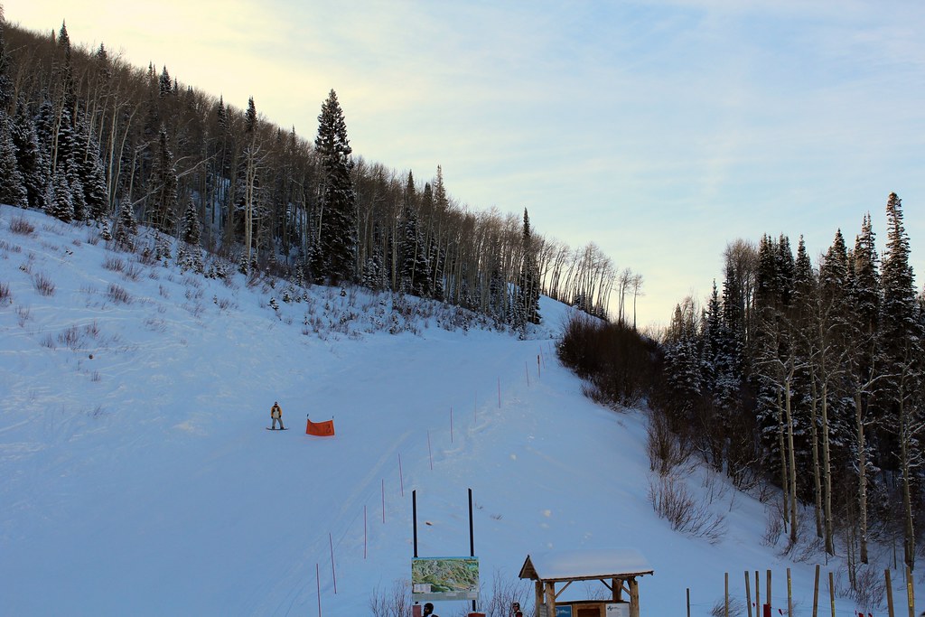 Pete's Wicked TrailHiking · ~30 min drivePhoto: blt04, CC BY 2.0 (via Flickr)
 Mountain ViewHiking · ~31 min drivePhoto: Greg Younger from Parker, Colorado, USA, USA, CC BY-SA 2.0 (via Wikimedia Commons)
- Overlook TrailHiking · ~23 min drivePhoto: Peter Alfred Hess, CC BY 2.0 (via Flickr)
- SunshineHiking · ~30 min drivePhoto: blt04, CC BY 2.0 (via Flickr)
- Silver CreekHiking · ~11 min drive
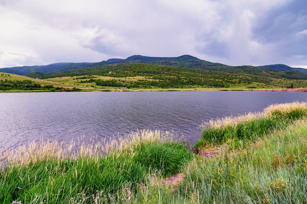 Elk Run TrailHiking · ~24 min drivePhoto: Tony Webster, CC BY 2.0 (via Flickr)
 Storm Peak ChallengeHiking · ~32 min drivePhoto: Flyinace2000, CC BY-SA 2.0 (via Flickr)
- Tepee CreekHiking · ~12 min drive
 Lakeside TrailHiking · ~24 min drivePhoto: Tony Webster, CC BY 2.0 (via Flickr)
Also worth it near here
- Albert ReservoirLake fishing · ~8 min drive
- Muddy CreekCanoeing · ~12 min drivePhoto: Jeffrey Beall, CC BY 4.0 (via Wikimedia Commons)
 Whiteley PeakSummit · ~18 min drivePhoto: Jeffrey Beall, CC BY 4.0 (via Wikimedia Commons)
 Pinnacle CampgroundCamping · ~23 min drivePhoto: Jeffrey Beall, CC BY 4.0 (via Wikimedia Commons)
Best time to visit Silver Creek
Best months: June–September. Best months have typical highs of 55–85 °F, lows of 30 °F or warmer (32 °F where the station doesn't record snow), at most one snowy day and no more than 12 wet days.
Jan
28° / 7°
8 wet
Feb
31° / 9°
8 wet
Mar
40° / 15°
8 wet
Apr
49° / 23°
9 wet
May
59° / 30°
10 wet
Jun
71° / 36°
8 wet
Jul
77° / 42°
9 wet
Aug
76° / 40°
11 wet
Sep
68° / 34°
8 wet
Oct
55° / 25°
7 wet
Nov
39° / 16°
8 wet
Dec
29° / 9°
8 wet
Typical high / low (°F) and days with rain or snow, 1991–2020. Measured at Spicer, CO, 20.6 mi away at 8,385 ft. The station sits about 1,500 ft lower than this place, so expect it a little cooler here. This station doesn't record snowfall. Source: NOAA NCEI U.S. Climate Normals 1991–2020.
