Dakota Terraces Campground
Campground
Campground · 0.4 mi from the trail
 Photo: iagoarchangel, CC BY-SA 2.0 (via Flickr)
Scenic Overlook Trail is a short lollipop loop in Ridgway State Park in Colorado, about 0.3 miles long. The trail is easy and works well for a quick outing or as part of a longer day in the park. The lollipop design means you'll hike out on an approach section before completing a small loop, then return the same way. The trail sits at about 7,000 feet, with a high point of 7,050 feet and a low of 7,019 feet. The total elevation gain is about 42 feet, so the climb is minimal. Bikes are allowed. For comfortable weather, aim for late spring or early fall. Typical averages from a nearby weather station in Ridgway show May highs around 70°F and September highs around 76°F, while July and August run warmer, near 85°F. Nearby, the Forest Discovery Trail and Wapiti Trail are each about 0.1 mile away. Climbers can head to the Ridgway State Park climbing area, about 0.2 mile off, and Dakota Terraces Campground is about 0.4 mile away.
Dakota Terraces Campground
Campground
Places © OpenStreetMap contributors, Places © Overture Maps Foundation
More in TellurideNot on Roamze yet. Their page has how to reach them.
Forest Discovery TrailHikingPhoto: iagoarchangel, CC BY-SA 2.0 (via Flickr)0.1 mi Wapiti TrailHikingPhoto: Tony Webster, CC BY 2.0 (via Flickr)0.1 mi
 Elk Ridge CampgroundCampingPhoto: jimmy thomas, CC BY-SA 2.0 (via Wikimedia Commons)0.4 mi
 Uncompahgre RiverCanoeingPhoto: Sally Pearce, Colorado Department of Transportation; brightened and color-corrected by Howcheng, Public domain (via Wikimedia Commons)5.1 mi
Source: Roamze catalog (indexable pages within 10 miles, PostGIS distance)
Forest Discovery TrailHiking · Next doorPhoto: iagoarchangel, CC BY-SA 2.0 (via Flickr) Old Owl Creek TrailHiking · ~15 min drivePhoto: daveynin, CC BY 2.0 (via Flickr)
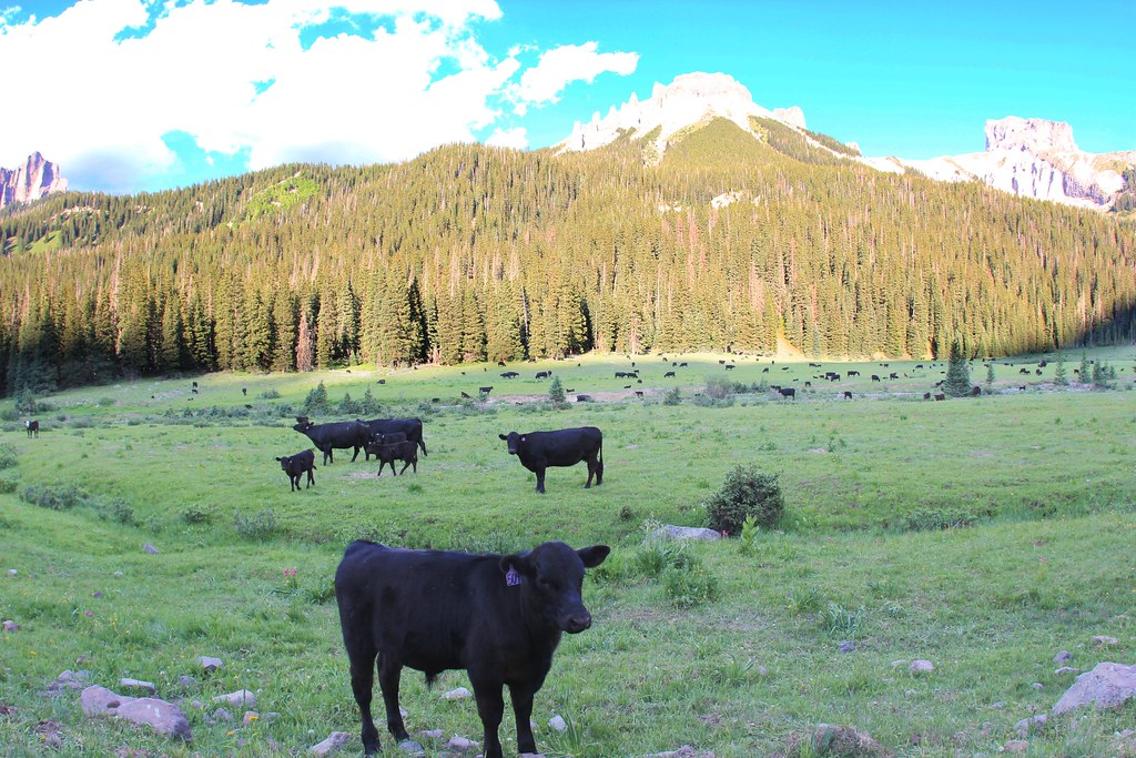 OWL CREEK PASS SNOHiking · ~17 min drivePhoto: daveynin, CC BY 2.0 (via Flickr)
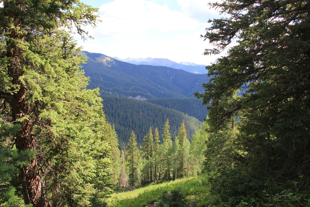 Courthouse MountainHiking · ~18 min drivePhoto: daveynin, CC BY 2.0 (via Flickr)Wapiti TrailHiking · Next doorPhoto: Tony Webster, CC BY 2.0 (via Flickr)Enchanted Mesa TrailHiking · ~2 min drivePhoto: iagoarchangel, CC BY-SA 2.0 (via Flickr)NATE CREEKHiking · ~14 min drivePhoto: daveynin, CC BY 2.0 (via Flickr)STEALEY MOUNTAIN SPURHiking · ~15 min drivePhoto: daveynin, CC BY 2.0 (via Flickr)Mule Deer Meadow TrailHiking · Next doorPhoto: Tony Webster, CC BY 2.0 (via Flickr)
Best months: May–September. Best months have typical highs of 55–85 °F, lows of 30 °F or warmer (32 °F where the station doesn't record snow), at most one snowy day and no more than 12 wet days.
Jan
40° / 7°
6 wet
Feb
44° / 12°
6 wet
Mar
52° / 20°
7 wet
Apr
59° / 26°
8 wet
May
70° / 34°
7 wet
Jun
81° / 39°
5 wet
Jul
85° / 46°
10 wet
Aug
82° / 45°
11 wet
Sep
76° / 36°
8 wet
Oct
64° / 26°
6 wet
Nov
51° / 16°
6 wet
Dec
40° / 8°
7 wet
Typical high / low (°F) and days with rain or snow, 1991–2020. Measured at Ridgway, CO, 4.5 mi away at 7,049 ft. This station doesn't record snowfall. Source: NOAA NCEI U.S. Climate Normals 1991–2020.
Map and trail data © OpenStreetMap contributors
