Dakota Terraces Campground
Campground
Campground · < 0.1 mi from the trail
 Photo: Tony Webster, CC BY 2.0 (via Flickr)
Mule Deer Meadow Trail is a short out-and-back hike located in Ridgway State Park near Colorado. This 0.5-mile trail offers an accessible option for visitors seeking a quick walk through the park's landscape. The trail is managed by Ridgway State Park, which provides maintained facilities and recreational opportunities throughout the area. The out-and-back route means hikers will retrace their steps on the return journey, making it easy to plan your outing. With its brief distance, this trail works well for families, those with limited time, or anyone looking for a leisurely outdoor experience. The trail name suggests the area may provide opportunities to observe mule deer, though wildlife sightings are never guaranteed. Ridgway State Park sits in a scenic region of Colorado with views of surrounding landscapes. Before heading out, check with the park for current trail conditions, any seasonal closures, and available amenities. The park's location near Colorado makes it a convenient destination for exploring the state's outdoor recreation options.
Dakota Terraces Campground
Campground
Places © OpenStreetMap contributors, Places © Overture Maps Foundation
More in TellurideNot on Roamze yet. Their page has how to reach them.
Pinon Ridge Picnic LoopHikingPhoto: Tony Webster, CC BY 2.0 (via Flickr)0.3 miWapiti TrailHikingPhoto: Tony Webster, CC BY 2.0 (via Flickr)0.3 mi Elk Ridge CampgroundCampingPhoto: jimmy thomas, CC BY-SA 2.0 (via Wikimedia Commons)0.5 mi
 Uncompahgre RiverCanoeingPhoto: Sally Pearce, Colorado Department of Transportation; brightened and color-corrected by Howcheng, Public domain (via Wikimedia Commons)5.1 mi
Source: Roamze catalog (indexable pages within 10 miles, PostGIS distance)
Pinon Ridge Picnic LoopHiking · Next doorPhoto: Tony Webster, CC BY 2.0 (via Flickr) Old Owl Creek TrailHiking · ~15 min drivePhoto: daveynin, CC BY 2.0 (via Flickr)
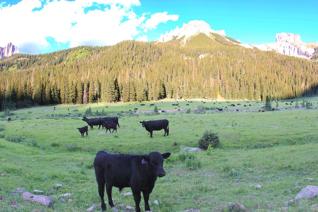 OWL CREEK PASS SNOHiking · ~17 min drivePhoto: daveynin, CC BY 2.0 (via Flickr)
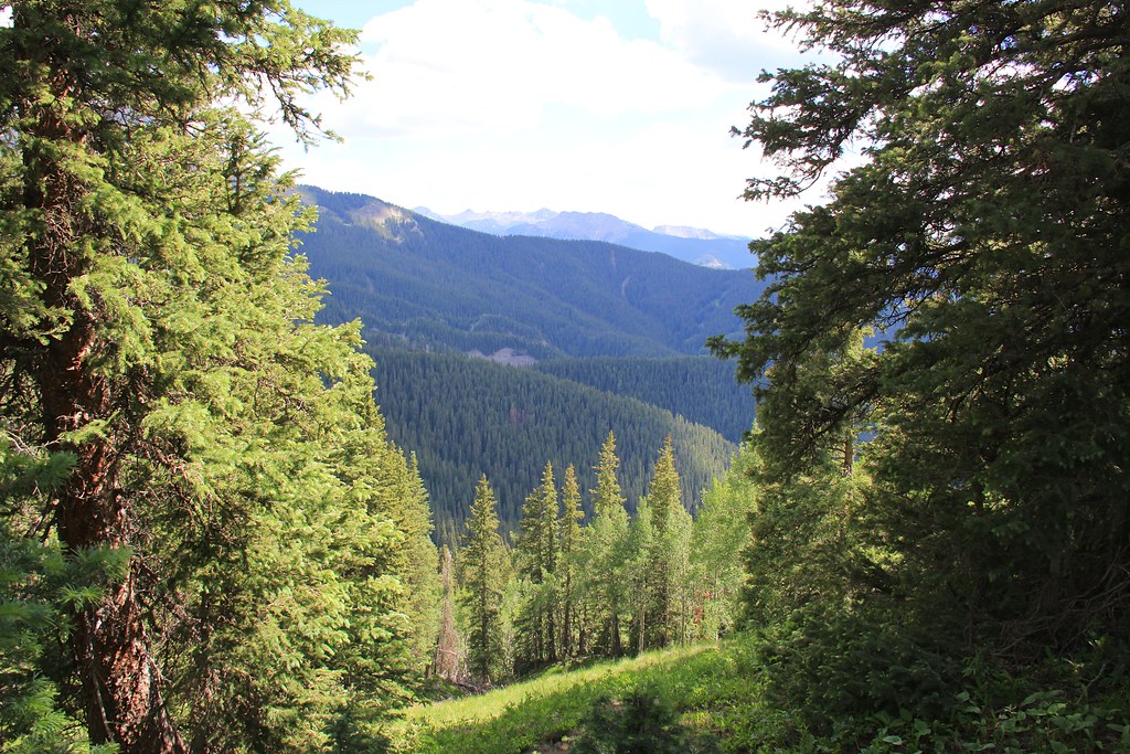 Courthouse MountainHiking · ~18 min drivePhoto: daveynin, CC BY 2.0 (via Flickr)Wapiti TrailHiking · Next doorPhoto: Tony Webster, CC BY 2.0 (via Flickr)
 Enchanted Mesa TrailHiking · ~1 min drivePhoto: iagoarchangel, CC BY-SA 2.0 (via Flickr)NATE CREEKHiking · ~14 min drivePhoto: daveynin, CC BY 2.0 (via Flickr)STEALEY MOUNTAIN SPURHiking · ~15 min drivePhoto: daveynin, CC BY 2.0 (via Flickr)Forest Discovery TrailHiking · Next doorPhoto: iagoarchangel, CC BY-SA 2.0 (via Flickr)
Also worth it near here
Best months: May–September. Best months have typical highs of 55–85 °F, lows of 30 °F or warmer (32 °F where the station doesn't record snow), at most one snowy day and no more than 12 wet days.
Jan
40° / 7°
6 wet
Feb
44° / 12°
6 wet
Mar
52° / 20°
7 wet
Apr
59° / 26°
8 wet
May
70° / 34°
7 wet
Jun
81° / 39°
5 wet
Jul
85° / 46°
10 wet
Aug
82° / 45°
11 wet
Sep
76° / 36°
8 wet
Oct
64° / 26°
6 wet
Nov
51° / 16°
6 wet
Dec
40° / 8°
7 wet
Typical high / low (°F) and days with rain or snow, 1991–2020. Measured at Ridgway, CO, 4.9 mi away at 7,049 ft. This station doesn't record snowfall. Source: NOAA NCEI U.S. Climate Normals 1991–2020.
Map and trail data © OpenStreetMap contributors

