Dakota Terraces Campground
Campground
Campground · 0.6 mi from the trail
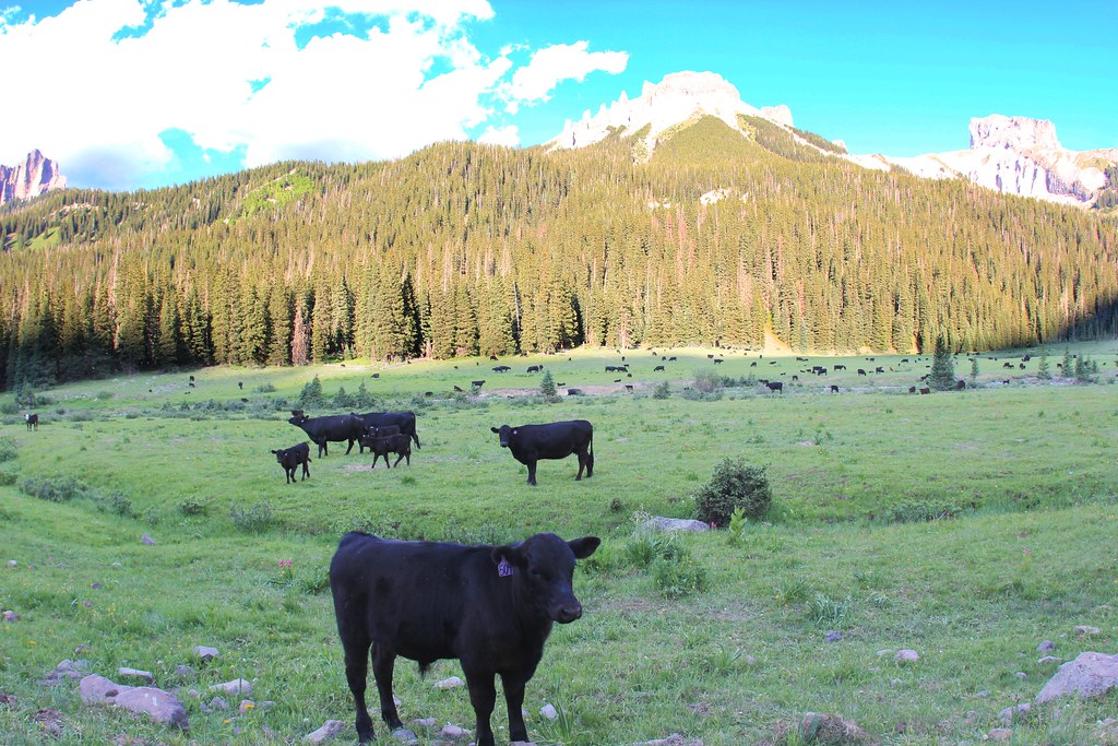
 Photo: iagoarchangel, CC BY-SA 2.0 (via Flickr)
Caution at last check
Weather is marginal · OpenWeather · checked 18 h ago
Enchanted Mesa Trail is a hard hike of about 5.3 miles in out-and-back shape, set within Ridgway State Park in western Colorado. The route starts at roughly 6,900 feet and climbs to about 7,040 feet, with a total elevation gain of 2,614 feet over the round trip. The steepest stretch comes around mile 2.3, where the grade reaches about 18 percent, so plan for a steady, challenging climb. The most comfortable months for a visit are typically May and September, when typical averages from the Ridgway weather station run from highs near 70°F in May to around 76°F in September. July is warmer, with highs near 85°F, and winter highs sit around 40°F. Nearby, the Pinon Ridge Picnic Loop and Mule Deer Meadow Trail are both within a mile, and Dakota Terraces Campground and Elk Ridge Campground offer places to stay. Climbers can find the Ridgway State Park climbing area about a mile away.
Dakota Terraces Campground
Campground
Places © OpenStreetMap contributors, Places © Overture Maps Foundation
More in TellurideNot on Roamze yet. Their page has how to reach them.
 Pinon Ridge Picnic LoopHikingPhoto: Tony Webster, CC BY 2.0 (via Flickr)0.3 miMule Deer Meadow TrailHikingPhoto: Tony Webster, CC BY 2.0 (via Flickr)0.6 mi
 Elk Ridge CampgroundCampingPhoto: jimmy thomas, CC BY-SA 2.0 (via Wikimedia Commons)0.7 mi
 Uncompahgre RiverCanoeingPhoto: Sally Pearce, Colorado Department of Transportation; brightened and color-corrected by Howcheng, Public domain (via Wikimedia Commons)4.5 mi
Source: Roamze catalog (indexable pages within 10 miles, PostGIS distance)
Pinon Ridge Picnic LoopHiking · Next doorPhoto: Tony Webster, CC BY 2.0 (via Flickr) STEALEY MOUNTAIN SPURHiking · ~15 min drivePhoto: daveynin, CC BY 2.0 (via Flickr)Old Owl Creek TrailHiking · ~16 min drivePhoto: daveynin, CC BY 2.0 (via Flickr)
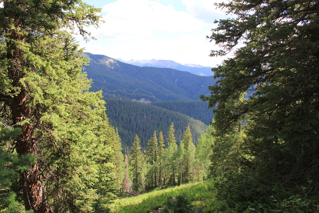
 OWL CREEK PASS SNOHiking · ~18 min drivePhoto: daveynin, CC BY 2.0 (via Flickr)Mule Deer Meadow TrailHiking · ~1 min drivePhoto: Tony Webster, CC BY 2.0 (via Flickr)
 Courthouse MountainHiking · ~19 min drivePhoto: daveynin, CC BY 2.0 (via Flickr)NATE CREEKHiking · ~14 min drivePhoto: daveynin, CC BY 2.0 (via Flickr)Wapiti TrailHiking · ~1 min drivePhoto: Tony Webster, CC BY 2.0 (via Flickr)
Also worth it near here
Best months: May–September. Best months have typical highs of 55–85 °F, lows of 30 °F or warmer (32 °F where the station doesn't record snow), at most one snowy day and no more than 12 wet days.
Jan
40° / 7°
6 wet
Feb
44° / 12°
6 wet
Mar
52° / 20°
7 wet
Apr
59° / 26°
8 wet
May
70° / 34°
7 wet
Jun
81° / 39°
5 wet
Jul
85° / 46°
10 wet
Aug
82° / 45°
11 wet
Sep
76° / 36°
8 wet
Oct
64° / 26°
6 wet
Nov
51° / 16°
6 wet
Dec
40° / 8°
7 wet
Typical high / low (°F) and days with rain or snow, 1991–2020. Measured at Ridgway, CO, 5.4 mi away at 7,049 ft. This station doesn't record snowfall. Source: NOAA NCEI U.S. Climate Normals 1991–2020.
Map and trail data © OpenStreetMap contributors

