Pawnee
Campground
Campground · 2.2 mi from the trail
Alert in the area
The Forest Service lists 3 alerts for Arapaho and Roosevelt National Forests.
Fire Restrictions
Agency alert covering Arapaho and Roosevelt National Forests · USFS · Arapaho and Roosevelt National Forests
Caribou Road Closure Order
Agency alert covering Boulder Ranger District · Order 02-10-01-26-04 · USFS · Boulder Ranger District
Raptor Nesting Area Closure - Boulder Ranger District
Agency alert covering Boulder Ranger District · Order 02-10-01-26-06 · USFS · Boulder Ranger District
As of · Source: USFS · Arapaho and Roosevelt National Forests. Agencies don't list every closure — check before you go.
Saint Vrain Mountain Summit Route is a 1.3-mile out-and-back hike in Colorado's Indian Peaks Wilderness, within the Boulder Ranger District of the Arapaho and Roosevelt National Forests. The Forest Service manages the land, and the route starts at about 11,300 feet, rising to the summit at 12,116 feet with a total gain of 849 feet. The climb is front-loaded, with the steepest stretch at about 0.3 miles in, where the grade reaches 34 percent. The route is rated moderate, and the trip takes about an hour. It pairs easily with other outings in the area. St Vrain Mountain lies just 0.2 miles away, and Rock Creek is 0.7 miles off. Climbers can head to Camp Dick, about 2.3 miles away, and Camp Dick Campground sits roughly 3.7 miles from the trail.
Pawnee
Campground
Rock Creek Tavern and Pizzeria
Restaurant
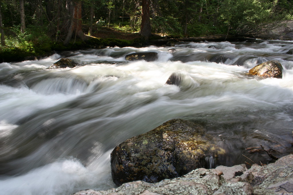
 If it rainsMatt Golon, CC BY-SA 3.0 · Wikimedia Commons
Places © OpenStreetMap contributors · Photos: Matt Golon, CC BY-SA 3.0 (commons)
More in Estes ParkNot on Roamze yet. Their page has how to reach them.
Daily highs and lows, wind and the chance of precipitation at the summit and route start for the next 7 days, from the Open-Meteo model.
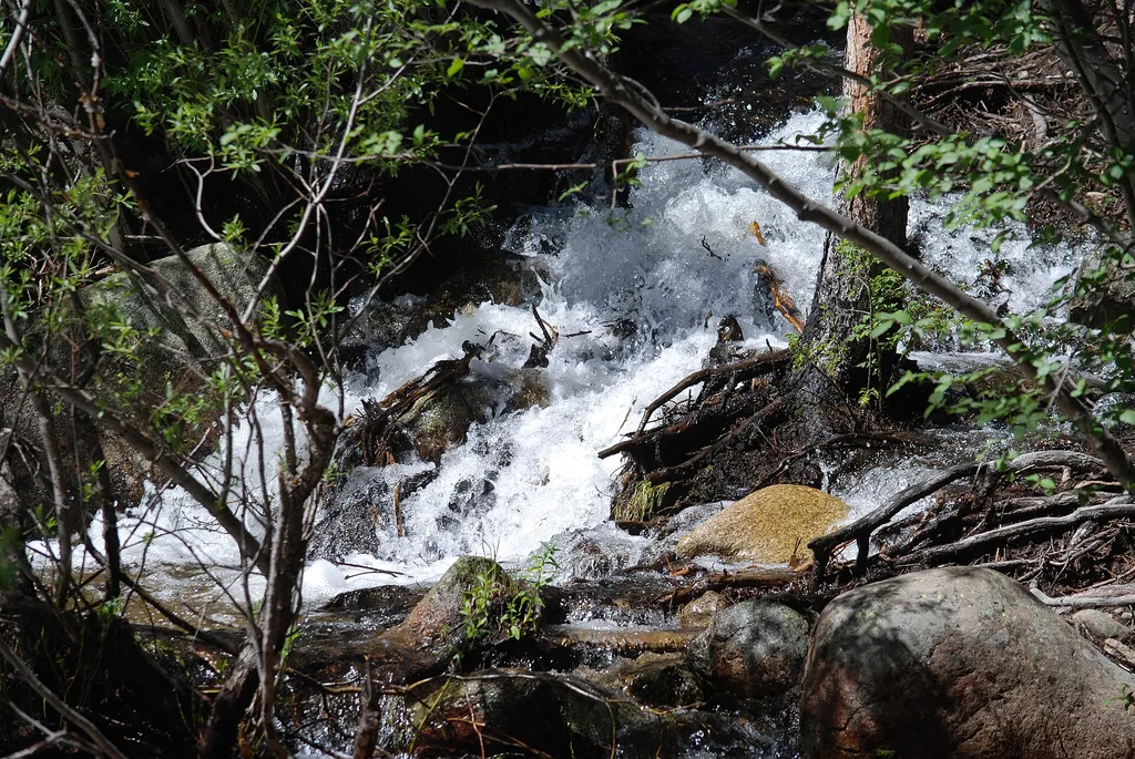 St Vrain MountainHikingPhoto: olekinderhook — Wikimedia Commons (CC BY 3.0)0.2 mi
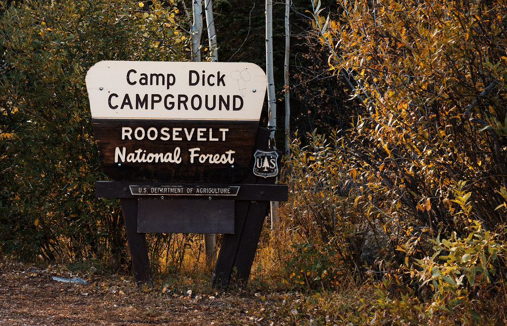 Camp Dick CampgroundCampingPhoto: Tony Webster — CC BY-SA 2.0 (via Flickr)3.7 mi
Source: Roamze catalog (indexable pages within 10 miles, PostGIS distance)
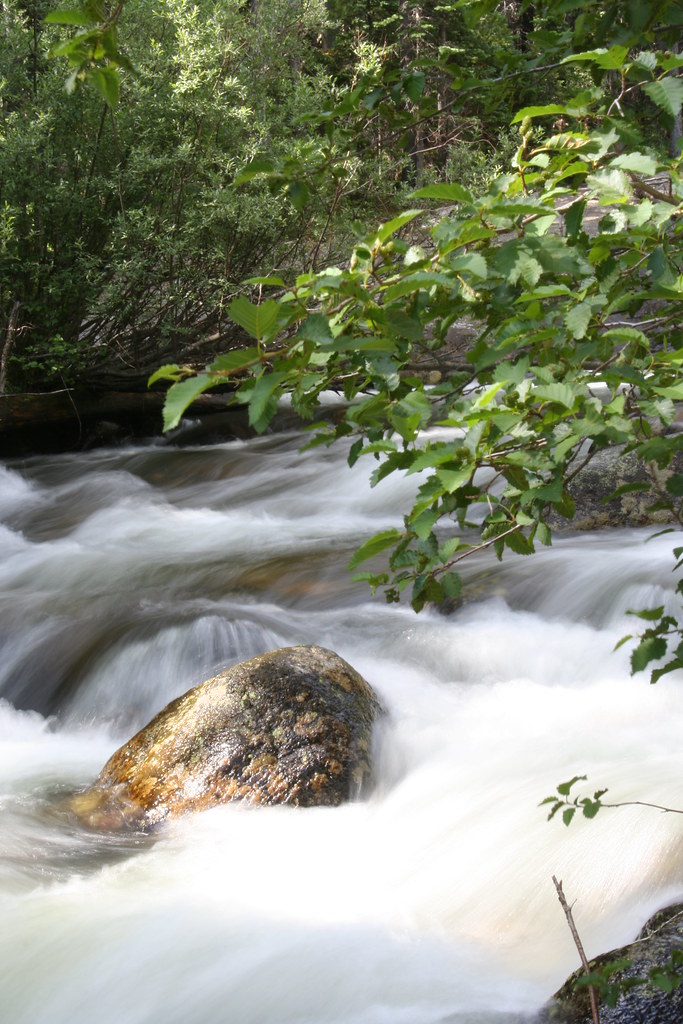 Finch Lake - Pear Lake TrailHiking · ~4 min drivePhoto: objectfox, CC BY 2.0 (via Flickr)
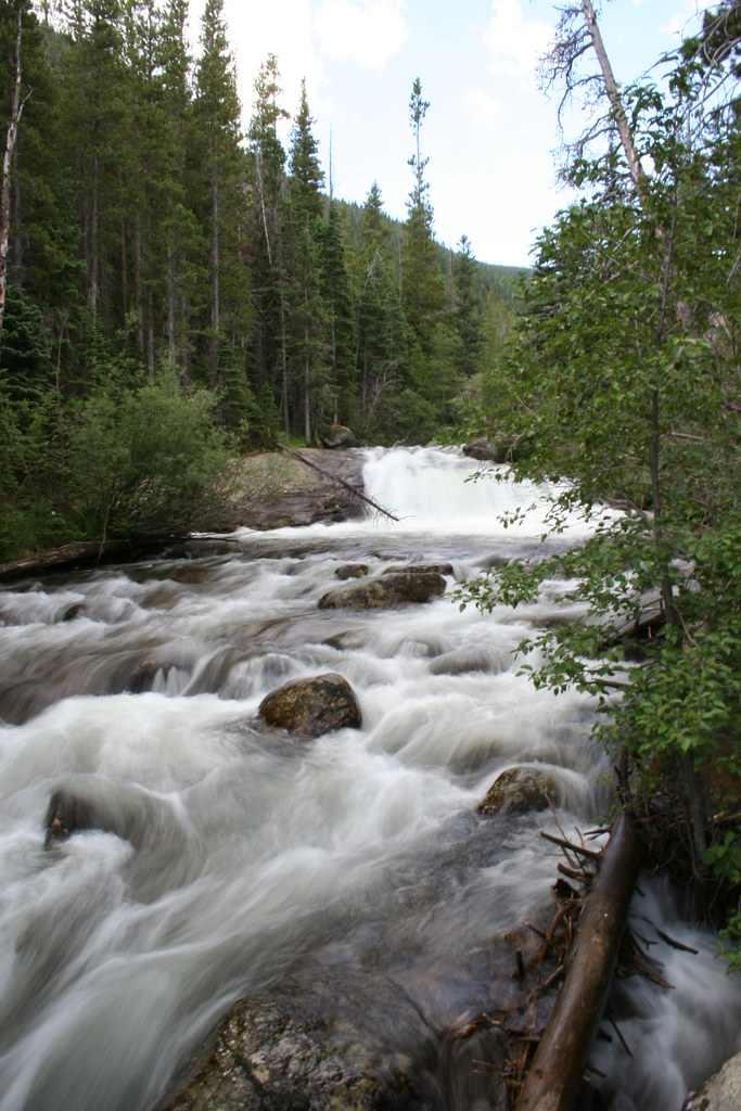 Hidden FallsHiking · ~5 min drivePhoto: objectfox, CC BY 2.0 (via Flickr)
 Copeland MountainHiking · ~5 min drivePhoto: objectfox, CC BY 2.0 (via Flickr)
 Beaver CreekHiking · ~9 min drivePhoto: PACarlson, CC BY 2.0 (via Flickr)
 Allenspark TrailHiking · ~4 min drivePhoto: nickavarvel, CC BY 2.0 (via Flickr)Wild Basin TrailHiking · ~5 min drivePhoto: objectfox, CC BY 2.0 (via Flickr)Ogalalla PeakHiking · ~5 min drivePhoto: objectfox, CC BY 2.0 (via Flickr)Allenspark - Finch Lake Trail ConnectorHiking · ~5 min drivePhoto: nickavarvel, CC BY 2.0 (via Flickr)
Also worth it near here
 Calypso CascadesWaterfall · ~4 min drivePhoto: Laurenschneider210, CC BY-SA 4.0 (via Wikimedia Commons)
 Sawtooth MountainSummit · ~6 min drivePhoto: Niranjan Arminius, CC BY-SA 4.0 (via Wikimedia Commons)Camp Dick CampgroundCamping · ~6 min drivePhoto: Tony Webster — CC BY-SA 2.0 (via Flickr)
About 0.6 mi round trip.
About 849 ft of climbing round trip.
It is rated moderate.
About 0.5 hours round trip.
Map and trail data © OpenStreetMap contributors
