Campers Creek
Campground
Campground · 0.6 mi from the trail
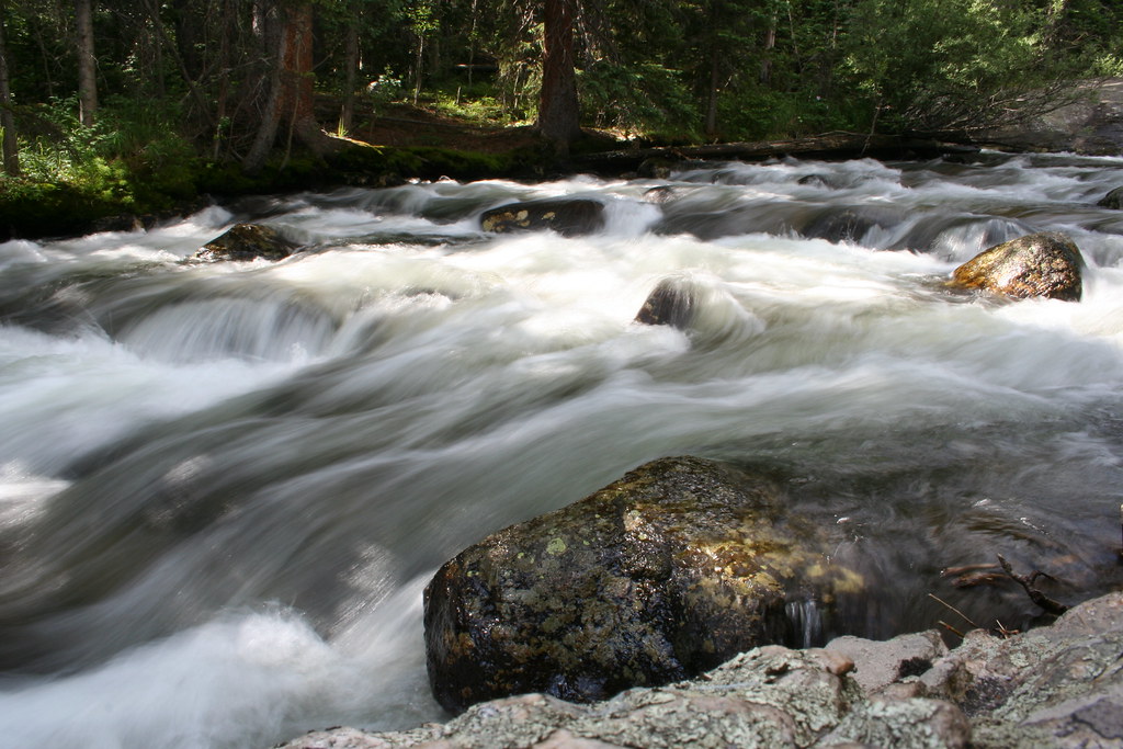 Photo: objectfox, CC BY 2.0 (via Flickr)
Closure in the area
There's a closure order in Rocky Mountain National Park. It doesn't name Copeland Mountain, so check the source for the area it covers.
Trail Ridge Road is Closed to Through Travel for the Season
Park closure covering Rocky Mountain National Park · NPS · Rocky Mountain National Park
As of · Source: NPS · Rocky Mountain National Park. Agencies don't list every closure — check before you go.
Copeland Mountain is a high, steep out-and-back hike in Rocky Mountain National Park in Colorado, managed by the National Park Service. The route is about 17 miles long, with a total elevation gain of roughly 6,300 feet, and it reaches a high point of 13,166 feet. It is an expert-level climb, and the round trip involves about 6,300 feet of ascent and descent. The climb is long and demanding. The route starts and ends at the same point, and the high point sits well above the trail's lower stretches. Plan on about nine hours for the trip. Ogalalla Peak and the Wild Basin Trail both lie about 0.1 mile away, and the Wild Basin bouldering area is about 0.2 mile off. For an overnight base, Olive Ridge Campground is about 2.3 miles away.
Campers Creek
Campground
Wild Basin Lodge & Event Center
Restaurant
 If it rainsMatt Golon, CC BY-SA 3.0 · Wikimedia Commons
Places © OpenStreetMap contributors · Photos: Matt Golon, CC BY-SA 3.0 (commons)
More in Estes ParkNot on Roamze yet. Their page has how to reach them.
Daily highs and lows, wind and the chance of precipitation at the summit and route start for the next 7 days, from the Open-Meteo model.
Ogalalla PeakHikingPhoto: objectfox, CC BY 2.0 (via Flickr)0.1 miWild Basin TrailHikingPhoto: objectfox, CC BY 2.0 (via Flickr)0.1 mi North Saint Vrain CreekCanoeingPhoto: Hogs555, CC BY-SA 3.0 (via Wikimedia Commons)6.6 mi
Source: Roamze catalog (indexable pages within 10 miles, PostGIS distance)
Wild Basin TrailHiking · Next doorPhoto: objectfox, CC BY 2.0 (via Flickr)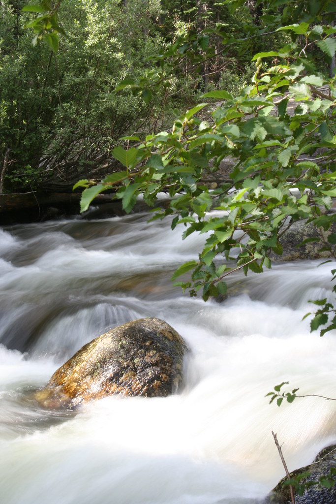 Horse TrailHiking · Next doorPhoto: objectfox, CC BY 2.0 (via Flickr)Mount AliceHiking · Next doorPhoto: objectfox, CC BY 2.0 (via Flickr)
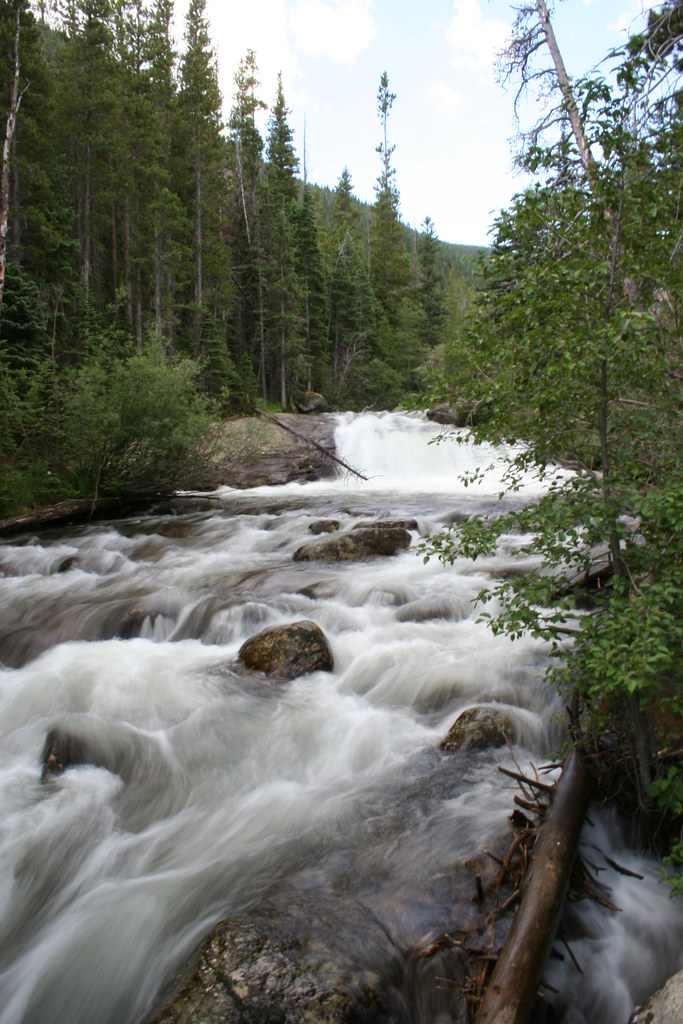 Hidden FallsHiking · Next doorPhoto: objectfox, CC BY 2.0 (via Flickr)Finch Lake - Pear Lake TrailHiking · ~1 min drivePhoto: objectfox, CC BY 2.0 (via Flickr)
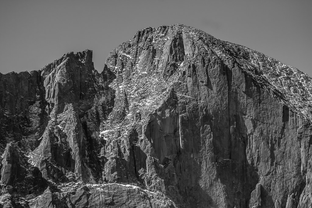 Mount MeekerHiking · ~8 min drivePhoto: markbyzewski, CC BY 2.0 (via Flickr)Longs Peak TrailHiking · ~8 min drivePhoto: markbyzewski, CC BY 2.0 (via Flickr)
 Allenspark TrailHiking · ~1 min drivePhoto: nickavarvel, CC BY 2.0 (via Flickr)
About 17.1 mi round trip from Wild Basin Trailhead.
About 6,288 ft of climbing round trip.
It is rated expert.
Wild Basin Trailhead.
© openrouteservice.org by HeiGIT | Map data © OpenStreetMap contributors


