Roxy Ann Lake
- 3.6 mi
- round trip
- 502 ft
- climb
- 11,122 ft
- high point
- Out and back
- route
Is Roxy Ann Lake open right now?
Alert in the area
The Forest Service lists 3 alerts for Medicine Bow-Routt National Forest.
Access Impact: Big Creek Lakes Dam Project
Agency alert covering Medicine Bow-Routt National Forest · USFS · Medicine Bow-Routt National Forest
Trail & Access Impact: Stillwater Reservoir Project
Agency alert covering Medicine Bow-Routt National Forest · USFS · Medicine Bow-Routt National Forest
Snowy Range - 2026 Active Vegetation Operations
Agency alert covering Medicine Bow-Routt National Forest · USFS · Medicine Bow-Routt National Forest
As of · Source: USFS · Medicine Bow-Routt National Forest. Agencies don't list every closure — check before you go.
Roxy Ann Lake is a 3.6-mile out-and-back hike in the Mount Zirkel Wilderness, part of the Parks Ranger District of the Medicine Bow-Routt National Forest in Colorado. The Forest Service manages the land, and the trail is rated hard, with a one-way climb of about 500 feet from a low point of 10,206 feet to a high of 11,122 feet. The trail is natural-surface and allows horses, but bikes are not permitted. That makes it a good fit for riders on horseback or for hikers who want to move at a steady pace over a longer route. Slide Trail lies about 1.7 miles away, and Crags is about 2.3 miles off. For paddling, South Fork Mad Creek is about 6 miles away, and Teal Lake Group Campsite offers camping roughly 7 miles from the lake.
- Slide TrailHiking1.7 mi
- CragsHiking2.3 mi
- South Fork Mad CreekCanoeing6.1 mi
 South Fork Elk RiverCanoeingPhoto: Jeffrey Beall, CC BY 4.0 (via Wikimedia Commons)6.5 mi
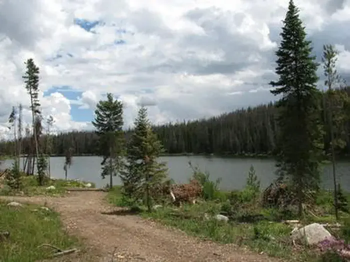 Teal Lake Group CampsiteCampingPhoto: Recreation.gov (RIDB) / public domain6.9 mi
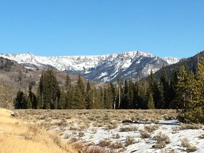 Seedhouse Group Site - Medicine-Bow Routt NF (CO)CampingPhoto: Recreation.gov (RIDB) / public domain7.9 mi
- Mt. Zirkel WildernessRock climbing8.7 mi
- Birthday BoulderRock climbing9.3 mi
Source: Roamze catalog (indexable pages within 10 miles, PostGIS distance)
 Three Island LakeHiking · ~12 min drivePhoto: brewbooks, CC BY-SA 2.0 (via Flickr)
 Bear LakesHiking · ~15 min drivePhoto: brewbooks from near Seattle, USA, CC BY-SA 2.0 (via Wikimedia Commons)
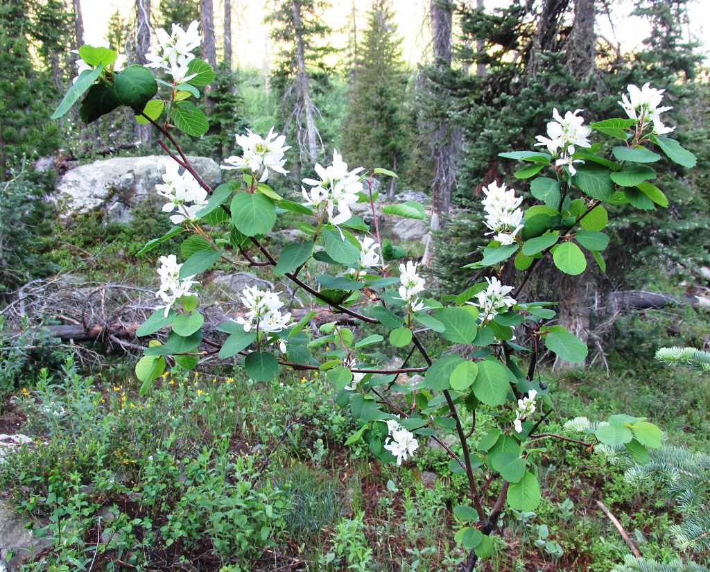 Mica BasinHiking · ~15 min drivePhoto: brewbooks, CC BY-SA 2.0 (via Flickr)
- Wyoming TrailHiking · ~13 min drivePhoto: brewbooks, CC BY-SA 2.0 (via Flickr)
 Ditch TrailHiking · ~17 min drivePhoto: bjwhite66212, CC BY-SA 2.0 (via Flickr)
- CragsHiking · ~4 min drive
- GilpinHiking · ~15 min drivePhoto: brewbooks, CC BY-SA 2.0 (via Flickr)
- Slide TrailHiking · ~3 min drive
- Big Creek Lake(hp)Hiking · ~5 min drive
 Gold Creek LakeHiking · ~14 min drivePhoto: brewbooks, CC BY-SA 2.0 (via Flickr)
