Slide Trail
- 0.3 mi
- round trip
- 233 ft
- climb
- 10,546 ft
- high point
- Out and back
- route
- Jun–Aug
- best months
Is Slide Trail open right now?
Alert in the area
The Forest Service lists 3 alerts for Medicine Bow-Routt National Forest.
Access Impact: Big Creek Lakes Dam Project
Agency alert covering Medicine Bow-Routt National Forest · USFS · Medicine Bow-Routt National Forest
Trail & Access Impact: Stillwater Reservoir Project
Agency alert covering Medicine Bow-Routt National Forest · USFS · Medicine Bow-Routt National Forest
Snowy Range - 2026 Active Vegetation Operations
Agency alert covering Medicine Bow-Routt National Forest · USFS · Medicine Bow-Routt National Forest
As of · Source: USFS · Medicine Bow-Routt National Forest. Agencies don't list every closure — check before you go.
Slide Trail is a short, easy out-and-back hike in Colorado's Mount Zirkel Wilderness, part of the Parks Ranger District of the Medicine Bow-Routt National Forest, which the Forest Service manages. The trail is about 0.6 miles long, with a one-way elevation gain of about 230 feet, and it is rated easy. The climb is front-loaded, steepest at about a quarter mile from the start, where the grade reaches 22 percent. The high point is around 10,546 feet, and the route returns to the starting elevation of about 10,321 feet. Summer is the most comfortable time to go. Typical averages from a nearby weather station at about 9,000 feet show July highs around 73°F and lows near 40°F. That station sits well below the trail, so temperatures on the summit run cooler. Nearby options include Roxy Ann Lake, about 1.7 miles away, and Crags at about 2.7 miles. For an overnight stay, Teal Lake Group Campsite is about 5 miles off, and Summit Lake Campground is about 7 miles away.
- Roxy Ann LakeHiking1.7 mi
- CragsHiking2.7 mi
- Rainbow LakesHiking3.2 mi
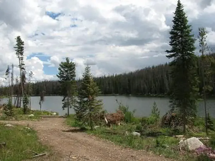 Teal Lake Group CampsiteCampingPhoto: Recreation.gov (RIDB) / public domain5.2 mi
- South Fork Mad CreekCanoeing6.2 mi
- Summit Lake CampgroundCamping7 mi
- Grizzly Guard StationCamping7.1 mi
- Roaring ForkCanoeing7.1 mi
Source: Roamze catalog (indexable pages within 10 miles, PostGIS distance)
 Three Island LakeHiking · ~14 min drivePhoto: brewbooks, CC BY-SA 2.0 (via Flickr)
 Ditch TrailHiking · ~16 min drivePhoto: bjwhite66212, CC BY-SA 2.0 (via Flickr)
- Big Creek Lake(hp)Hiking · ~6 min drive
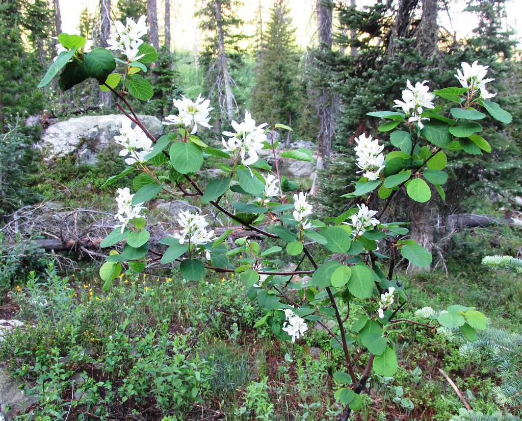 Wyoming TrailHiking · ~16 min drivePhoto: brewbooks, CC BY-SA 2.0 (via Flickr)
 Bear LakesHiking · ~17 min drivePhoto: brewbooks from near Seattle, USA, CC BY-SA 2.0 (via Wikimedia Commons)
- Lone PineHiking · ~13 min drive
 Gold Creek LakeHiking · ~16 min drivePhoto: brewbooks, CC BY-SA 2.0 (via Flickr)
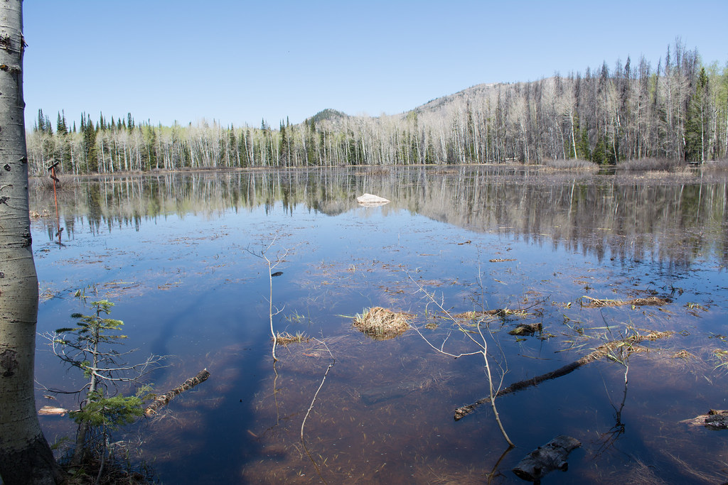 Soda Creek TrailHiking · ~17 min drivePhoto: bjwhite66212, CC BY-SA 2.0 (via Flickr)
- Soda Mountain TrailHiking · ~14 min drive
- GilpinHiking · ~17 min drivePhoto: brewbooks, CC BY-SA 2.0 (via Flickr)
Best time to visit Slide Trail
Best months: June–August. Best months have typical highs of 55–85 °F, lows of 30 °F or warmer (32 °F where the station doesn't record snow), at most one snowy day and no more than 12 wet days.
Jan
29° / 3°
11 wet
Feb
30° / 5°
11 wet
Mar
38° / 12°
10 wet
Apr
45° / 20°
10 wet
May
55° / 27°
9 wet
Jun
67° / 33°
8 wet
Jul
73° / 40°
10 wet
Aug
72° / 38°
11 wet
Sep
64° / 31°
9 wet
Oct
51° / 22°
8 wet
Nov
38° / 12°
10 wet
Dec
30° / 4°
12 wet
Typical high / low (°F) and days with rain or snow, 1991–2020. Measured at Gould 4se Sfsp, CO, 35.8 mi away at 9,000 ft. The station sits about 1,500 ft lower than this place, so expect it a little cooler here. This station doesn't record snowfall. Source: NOAA NCEI U.S. Climate Normals 1991–2020.

Map and trail data © OpenStreetMap contributors
