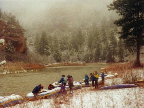
Red Lake
- 6.1 mi
- round trip
- 721 ft
- climb
- 11,733 ft
- high point
- Out and back
- route
Is Red Lake open right now?
Closure in the area
There's a closure order in Rio Grande National Forest. It doesn't name Red Lake, so check the source for the area it covers.
Closures and dangerous conditions on roads, bridges, and trails from flooding
Agency closure covering Rio Grande National Forest · USFS · Rio Grande National Forest
As of · Source: USFS · Rio Grande National Forest. Agencies don't list every closure — check before you go.
Red Lake is a hard hike in the South San Juan Wilderness, part of the Conejos Peak Ranger District of the Rio Grande National Forest in Colorado. The Forest Service manages the land, and the trail is an out-and-back route of about 6 miles, with a one-way climb of 721 feet from a low point of about 11,000 feet to a high of about 11,700 feet. The trail is natural-surface and allows horses, but bikes are not permitted. That makes it a good fit for riders on horseback or on foot, and the route stays within the wilderness. The Red Lake Cutoff lies about a mile away, and the Los Pinos and Flat hikes are each a little over 2 miles off. For an overnight base, Trujillo Meadows Campground is about 3.8 miles away.
Local outfitters
- Pagosa Riverside Campground31 mi away
- Pagosa Pines RV Park33 mi away
Not on Roamze yet. Their page has how to reach them.
- RED LAKE CUTOFFHiking1 mi
- Los PinosHiking2.1 mi
- FlatHiking2.2 mi
- Elk CreekCanoeing2.7 mi
- Trujillo Meadows Boating SiteLake fishing3.3 mi
- Trujillo Meadows CampgroundCamping3.8 mi
- Spectacle Lake CampgroundCamping5 mi
- Conejos CampgroundCamping5.1 mi
Source: Roamze catalog (indexable pages within 10 miles, PostGIS distance)
 NotchHiking · ~7 min drivePhoto: Michael C. Rael, CC BY 2.0 (via Flickr)
 No Name LakeHiking · ~10 min drivePhoto: Michael C. Rael, CC BY 2.0 (via Flickr)
- FlatHiking · ~4 min drive
- Archuleta TrailHiking · ~11 min drive
 Duck LakeHiking · ~8 min drivePhoto: Michael C. Rael, CC BY 2.0 (via Flickr)
 Hidden Lake TrailHiking · ~11 min drivePhoto: Michael C. Rael, CC BY 2.0 (via Flickr)
- West Fork Rio ChamaHiking · ~9 min drive
- Roaring Gulch East TrailHiking · ~13 min drive
- Los PinosHiking · ~4 min drive
 Valdez TrailHiking · ~17 min drivePhoto: JustTooLazy, CC BY 2.0 (via Flickr)
Also worth it near here