Rainbow Lakes Campground
Campground
Campground · 0.2 mi from the trail
Caution at last check
Agency alerts are in effect for this area; weather is marginal · USFS, OpenWeather · checked 23 h ago
Alert in the area
The Forest Service lists 3 alerts for Arapaho and Roosevelt National Forests.
Fire Restrictions
Agency alert covering Arapaho and Roosevelt National Forests · USFS · Arapaho and Roosevelt National Forests
Caribou Road Closure Order
Agency alert covering Boulder Ranger District · Order 02-10-01-26-04 · USFS · Boulder Ranger District
Raptor Nesting Area Closure - Boulder Ranger District
Agency alert covering Boulder Ranger District · Order 02-10-01-26-06 · USFS · Boulder Ranger District
As of · Source: USFS · Arapaho and Roosevelt National Forests. Agencies don't list every closure — check before you go.
Rainbow Lakes is an easy out-and-back hike in the Boulder Ranger District of the Arapaho and Roosevelt National Forests, about 1.8 miles long and gaining 226 feet from a low point of 9,986 feet to a high of 10,262 feet. The Forest Service manages the land, and the trail is a natural-surface route that also carries horses. For comfortable weather, aim for late spring through early fall. Typical averages from a nearby weather station at Boulder 14 W show July highs around 68°F with lows near 43°F, while September still reaches about 59°F with the fewest wet days of the year. The trail sits close to Rainbow Lakes Campground and the Arapaho Glacier Connector Trail, both about 0.2 miles away. Horseshoe Creek lies about 1.1 miles off, and the Eldora climbing area is roughly 4.6 miles away.
Rainbow Lakes Campground
Campground
Knotted Root Brewing Company
Bar
 If it rainsMatt Golon, CC BY-SA 3.0 · Wikimedia Commons
Places © OpenStreetMap contributors · Photos: Matt Golon, CC BY-SA 3.0 (commons)
More in Idaho SpringsNot on Roamze yet. Their page has how to reach them.
Best months: June and September. Best months have typical highs of 55–85 °F, lows of 30 °F or warmer (32 °F where the station doesn't record snow), at most one snowy day and no more than 12 wet days.
Jan
29° / 12°
15 wet
Feb
28° / 11°
16 wet
Mar
36° / 17°
16 wet
Apr
40° / 22°
17 wet
May
50° / 29°
16 wet
Jun
62° / 36°
12 wet
Jul
68° / 43°
14 wet
Aug
66° / 41°
13 wet
Sep
59° / 34°
10 wet
Oct
47° / 26°
10 wet
Nov
35° / 19°
12 wet
Dec
28° / 12°
15 wet
Typical high / low (°F) and days with rain or snow, 1991–2020. Measured at Boulder 14 W, CO, 2.4 mi away at 9,828 ft. This station doesn't record snowfall. Source: NOAA NCEI U.S. Climate Normals 1991–2020.
 Photo: Ben Makuh, CC BY-SA 2.0 (via Flickr)
Horseshoe Creek
~2 min drive
0.64-mile out-and-back trail at 9,813 ft elevation in Colorado.
 Photo: Tony Webster, CC BY 2.0 (via Flickr)
Sourdough
~5 min drive
29.23-mile out-and-back trail in Colorado with 949 ft gain and 10,289 ft max elevation.
 Photo: Greg Willis, CC BY-SA 3.0 (via Wikimedia Commons)
North Arapaho Peak
~6 min drive
Route to the summit of North Arapaho Peak (13,451 ft) from arapahoe pass trail.
 Photo: Greg Willis, CC BY-SA 3.0 (via Wikimedia Commons)
Diamond Lake Trail
~7 min drive
2.55-mile trail in Colorado with 400 ft elevation gain and a max elevation of 10,200 ft.
 Photo: jefbrr, CC BY 2.0 (via Flickr)
Windy Ridge
~7 min drive
0.78-mile out-and-back trail in Colorado with 405 ft elevation gain.
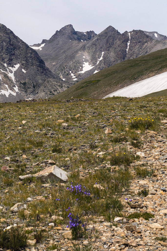 Photo: John Game, CC BY 2.0 (via Flickr)
Niwot Ridge
~5 min drive
5.29-mile out-and-back trail on Niwot Ridge in Colorado, 906 ft elevation gain.
 Photo: jonathan c. wheeler, CC BY-SA 3.0 (via Wikimedia Commons)
Paiute Peak
~8 min drive
Route to the summit of Paiute Peak (13,012 ft) from Niwot Picnic Area.
 Photo: Greg Willis, CC BY-SA 3.0 (via Wikimedia Commons)
DIAMOND LAKE
~7 min drive
2.99-mile loop trail in Colorado with 1,327 ft elevation gain and loss.
 Photo: matthewevans1991, CC BY-SA 2.0 (via Flickr)
Niwot Cutoff Trail
~8 min drive
1.22-mile out-and-back trail in Colorado with 440 ft elevation gain
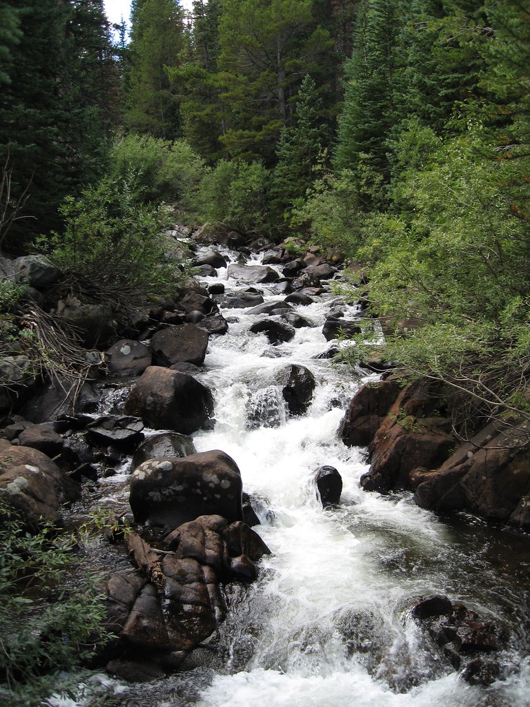 Photo: laurascudder, CC BY-SA 2.0 (via Flickr)
Devils Thumb
~8 min drive
13.09-mile out-and-back trail in Colorado with 4,982 ft elevation gain.
