Buckingham Campground
Campground
Campground · < 0.1 mi from the trail
 Photo: Greg Willis, CC BY-SA 3.0 (via Wikimedia Commons)
Alert in the area
The Forest Service lists 3 alerts for Arapaho and Roosevelt National Forests.
Fire Restrictions
Agency alert covering Arapaho and Roosevelt National Forests · USFS · Arapaho and Roosevelt National Forests
Caribou Road Closure Order
Agency alert covering Boulder Ranger District · Order 02-10-01-26-04 · USFS · Boulder Ranger District
Raptor Nesting Area Closure - Boulder Ranger District
Agency alert covering Boulder Ranger District · Order 02-10-01-26-06 · USFS · Boulder Ranger District
As of · Source: USFS · Arapaho and Roosevelt National Forests. Agencies don't list every closure — check before you go.
North Arapaho Peak is a 9.6-mile out-and-back hike in the Boulder Ranger District of the Arapaho and Roosevelt National Forests in Colorado, on Forest Service land. The peak rises to 13,451 feet, and the climb gains about 4,900 feet over the course of the route, which is rated expert. The trip takes roughly 5.5 hours and is a serious outing. The summit sits in the high country of the Boulder Ranger District, and the route starts and ends at a point about 0.1 mile from Old Baldy, another nearby summit. Diamond Lake, a mountain biking area, lies about 0.6 mile away. Eldora and Swamp Rock, two climbing areas, are each about 3 miles off, and Rainbow Lakes Campground is about 3.6 miles away for those wanting to camp in the area.
Buckingham Campground
Campground
Timbers Lodge & Tap house
Pub
 If it rainsMatt Golon, CC BY-SA 3.0 · Wikimedia Commons
Places © OpenStreetMap contributors · Photos: Matt Golon, CC BY-SA 3.0 (commons)
More in Idaho SpringsNot on Roamze yet. Their page has how to reach them.
Daily highs and lows, wind and the chance of precipitation at the summit and route start for the next 7 days, from the Open-Meteo model.
Old BaldyHikingPhoto: Greg Willis, CC BY-SA 3.0 (via Wikimedia Commons)0.1 mi Diamond LakeMountain bikingPhoto: Greg Willis, CC BY-SA 3.0 (via Wikimedia Commons)0.6 mi
Source: Roamze catalog (indexable pages within 10 miles, PostGIS distance)
 DIAMOND LAKEHiking · ~1 min drivePhoto: Greg Willis, CC BY-SA 3.0 (via Wikimedia Commons)
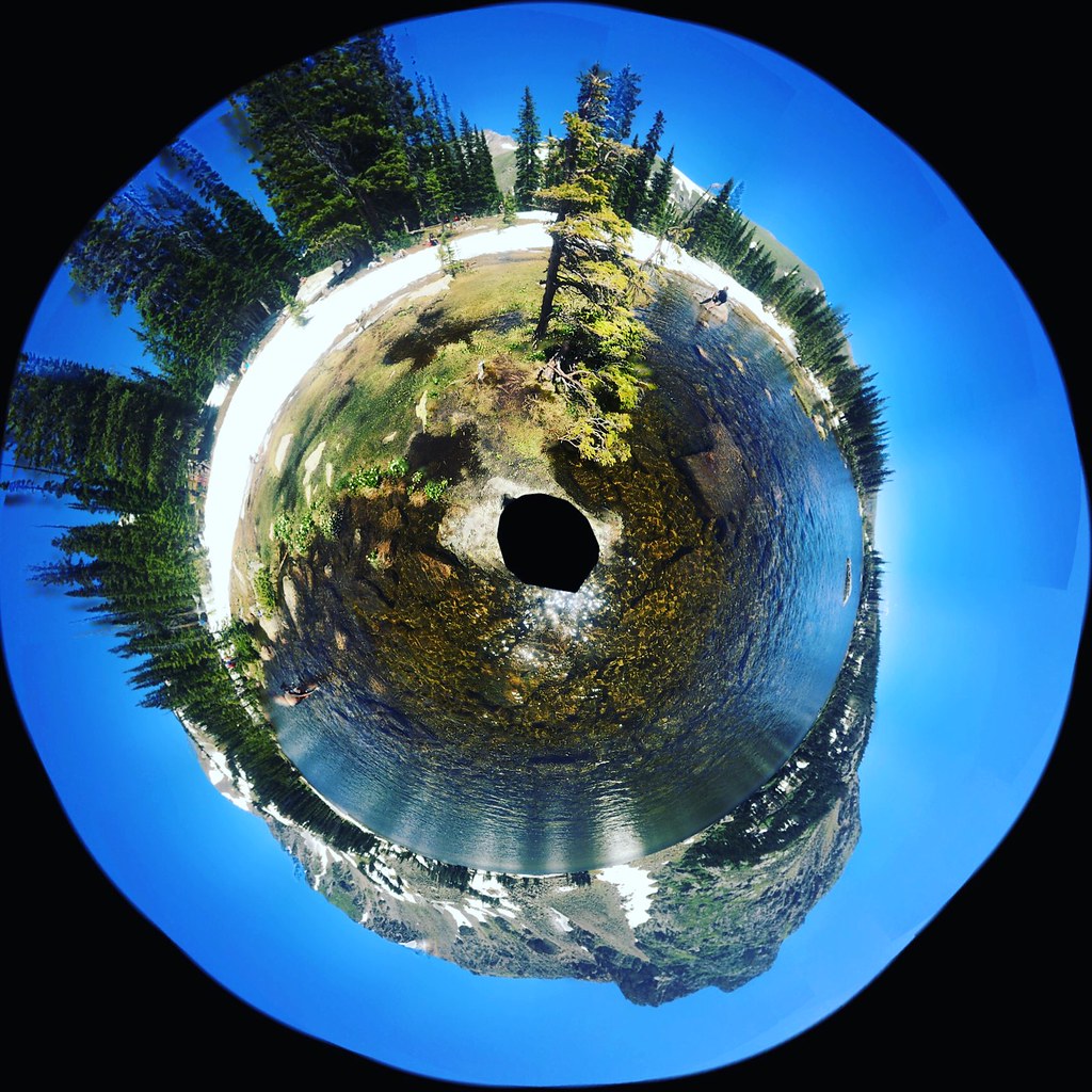 Chittenden MtnHiking · ~4 min drivePhoto: katiebordner, CC BY 2.0 (via Flickr)
 Lost LakeHiking · ~5 min drivePhoto: toastal_OLD, CC BY 2.0 (via Flickr)
 Kiowa PeakHiking · ~11 min drivePhoto: matthewevans1991, CC BY-SA 2.0 (via Flickr)
 Diamond Lake TrailHiking · ~2 min drivePhoto: Greg Willis, CC BY-SA 3.0 (via Wikimedia Commons)
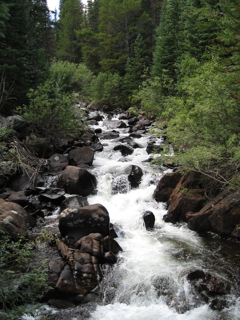 Devils ThumbHiking · ~5 min drivePhoto: laurascudder, CC BY-SA 2.0 (via Flickr)
 Horseshoe CreekHiking · ~6 min drivePhoto: Ben Makuh, CC BY-SA 2.0 (via Flickr)Apache PeakHiking · ~11 min drivePhoto: matthewevans1991, CC BY-SA 2.0 (via Flickr)
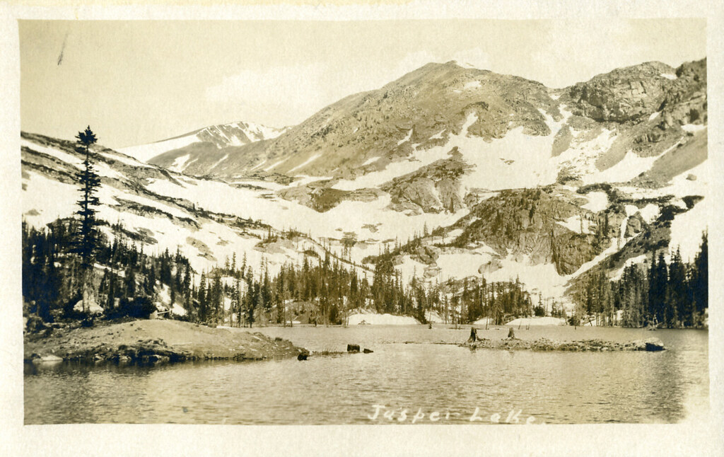 Diamond Lake TrailHiking · ~2 min drivePhoto: waterarchives, CC BY-SA 2.0 (via Flickr)
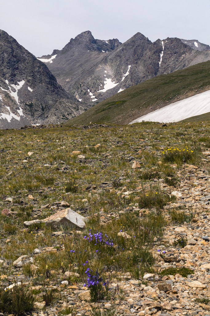 Niwot RidgeHiking · ~9 min drivePhoto: John Game, CC BY 2.0 (via Flickr)
About 9.6 mi round trip from arapahoe pass trail.
About 4,899 ft of climbing round trip.
It is rated expert.
Arapahoe pass trail.
© openrouteservice.org by HeiGIT | Map data © OpenStreetMap contributors

