Ruby Gulch Dispersed Camping
Campground
Campground · 0.8 mi from the trail
 Photo: Tony Webster, CC BY 2.0 (via Flickr)
Alert in the area
The Forest Service lists 3 alerts for Arapaho and Roosevelt National Forests.
Fire Restrictions
Agency alert covering Arapaho and Roosevelt National Forests · USFS · Arapaho and Roosevelt National Forests
Caribou Road Closure Order
Agency alert covering Boulder Ranger District · Order 02-10-01-26-04 · USFS · Boulder Ranger District
Raptor Nesting Area Closure - Boulder Ranger District
Agency alert covering Boulder Ranger District · Order 02-10-01-26-06 · USFS · Boulder Ranger District
As of · Source: USFS · Arapaho and Roosevelt National Forests. Agencies don't list every closure — check before you go.
Sourdough is a hard hike of about 29 miles in the Boulder Ranger District of the Arapaho and Roosevelt National Forests in Colorado, managed by the Forest Service. The trail is an out-and-back with a one-way climb of about 950 feet, from a low point of roughly 8,650 feet to a high of about 10,290 feet. Summer is the most comfortable time to go. Typical averages from a nearby weather station show July highs around 68°F with lows near 43°F, while winter highs stay in the 20s. The trail is on natural surface and allows horses. Fourmile Creek is about 0.7 miles away, and Windy Ridge is about 1.4 miles away. Gordon Gulch campground and North Boulder Creek are both within about 2 miles.
Ruby Gulch Dispersed Camping
Campground
Knotted Root Brewing Company
Bar
 If it rainsMatt Golon, CC BY-SA 3.0 · Wikimedia Commons
Places © OpenStreetMap contributors · Photos: Matt Golon, CC BY-SA 3.0 (commons)
More in Idaho SpringsNot on Roamze yet. Their page has how to reach them.
Best months: June and September. Best months have typical highs of 55–85 °F, lows of 30 °F or warmer (32 °F where the station doesn't record snow), at most one snowy day and no more than 12 wet days.
Jan
29° / 12°
15 wet
Feb
28° / 11°
16 wet
Mar
36° / 17°
16 wet
Apr
40° / 22°
17 wet
May
50° / 29°
16 wet
Jun
62° / 36°
12 wet
Jul
68° / 43°
14 wet
Aug
66° / 41°
13 wet
Sep
59° / 34°
10 wet
Oct
47° / 26°
10 wet
Nov
35° / 19°
12 wet
Dec
28° / 12°
15 wet
Typical high / low (°F) and days with rain or snow, 1991–2020. Measured at Boulder 14 W, CO, 1 mi away at 9,828 ft. This station doesn't record snowfall. Source: NOAA NCEI U.S. Climate Normals 1991–2020.
 Photo: Vic Dillahay, CC BY 2.0 (via Flickr)
Fourmile Creek
~1 min drive
1.55-mile out-and-back trail at 8,862 ft elevation in Colorado.
 Photo: jonathan c. wheeler, CC BY-SA 3.0 (via Wikimedia Commons)
Niwot Mountain
~6 min drive
1.15-mile trail in Colorado with 800 ft elevation gain
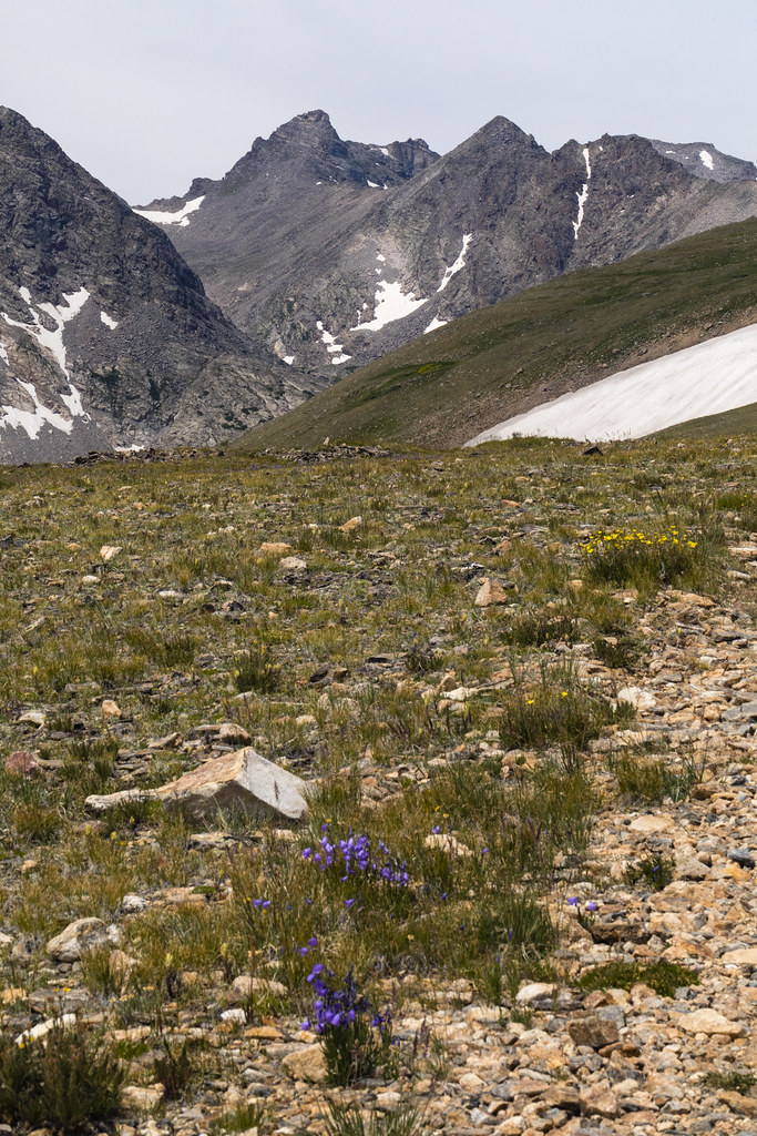 Photo: John Game, CC BY 2.0 (via Flickr)
Niwot Ridge
~6 min drive
5.29-mile out-and-back trail on Niwot Ridge in Colorado, 906 ft elevation gain.
 Photo: jonathan c. wheeler, CC BY-SA 3.0 (via Wikimedia Commons)
Paiute Peak
~7 min drive
Route to the summit of Paiute Peak (13,012 ft) from Niwot Picnic Area.
 Photo: jefbrr, CC BY 2.0 (via Flickr)
Windy Ridge
~2 min drive
0.78-mile out-and-back trail in Colorado with 405 ft elevation gain.
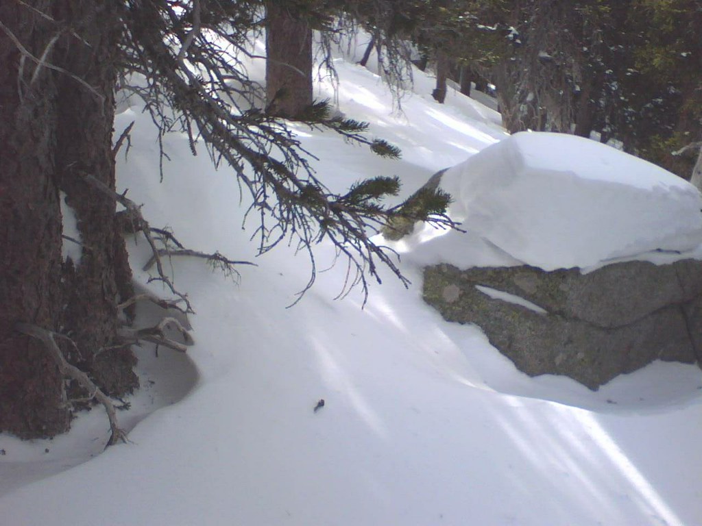 Photo: leighannemcc, CC BY-SA 2.0 (via Flickr)
Waldrop (North)
~6 min drive
4.68-mile out-and-back trail in Colorado with 268 ft gain.
 Photo: PACarlson, CC BY 2.0 (via Flickr)
Beaver Creek
~8 min drive
13.81-mile out-and-back trail in Colorado with 1,094 ft elevation gain.
 Photo: matthewevans1991, CC BY-SA 2.0 (via Flickr)
Kiowa Peak
~8 min drive
Route to the summit of Kiowa Peak (13,156 ft) from Long Lake Trailhead.
Photo: jefbrr, CC BY 2.0 (via Flickr)Switzerland Trail Colo. & North Western R. R.
~4 min drive
3.44-mile trail in Colorado with 200 ft elevation gain and 8,500 ft max elevation.
Photo: jonathan c. wheeler, CC BY-SA 3.0 (via Wikimedia Commons)Brainard Lake Cutoff Trail
~7 min drive
1.1-mile out-and-back trail near Brainard Lake, Colorado with 160 ft elevation gain.
Map and trail data © OpenStreetMap contributors

