Lost Lake Campground
Campground
Campground · 0.5 mi from the trail
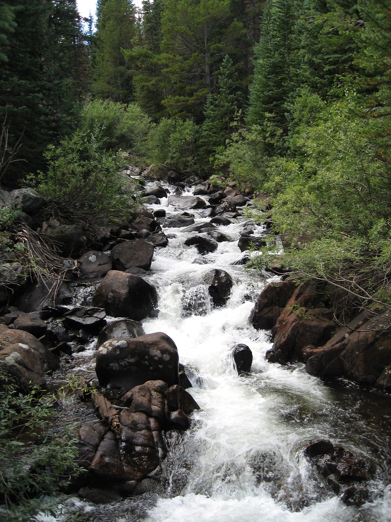 Photo: laurascudder, CC BY-SA 2.0 (via Flickr)
Alert in the area
The Forest Service lists 3 alerts for Arapaho and Roosevelt National Forests.
Fire Restrictions
Agency alert covering Arapaho and Roosevelt National Forests · USFS · Arapaho and Roosevelt National Forests
Caribou Road Closure Order
Agency alert covering Boulder Ranger District · Order 02-10-01-26-04 · USFS · Boulder Ranger District
Raptor Nesting Area Closure - Boulder Ranger District
Agency alert covering Boulder Ranger District · Order 02-10-01-26-06 · USFS · Boulder Ranger District
As of · Source: USFS · Arapaho and Roosevelt National Forests. Agencies don't list every closure — check before you go.
Devils Thumb is a hard hike of about 13 miles in the Boulder Ranger District of the Arapaho and Roosevelt National Forests in Colorado. The Forest Service manages the land, and the route is a natural-surfaced out-and-back with about 4,982 feet of elevation gain. The trail climbs from a low point of about 9,091 feet to a high point of about 11,984 feet. Horses are allowed, so the route works for riders as well as hikers. King Lake and the Devils Thumb Bypass both sit within a fraction of a mile of the trail, and the Eldora climbing area is about 0.6 miles away. For an overnight base, Rainbow Lakes Campground lies roughly 4.7 miles from the route.
Lost Lake Campground
Campground
Lookout Grill
Restaurant
 If it rainsMatt Golon, CC BY-SA 3.0 · Wikimedia Commons
Places © OpenStreetMap contributors · Photos: Matt Golon, CC BY-SA 3.0 (commons)
More in Idaho SpringsNot on Roamze yet. Their page has how to reach them.
Photo: laurascudder, CC BY-SA 2.0 (via Flickr)King Lake
Next door
4.45-mile loop trail at 11,665 ft with 1,486 ft gain in Colorado.
Photo: laurascudder, CC BY-SA 2.0 (via Flickr)Devils Thumb Bypass
Next door
2.73-mile out-and-back trail in Colorado with 346 ft elevation gain.
 Photo: katiebordner, CC BY 2.0 (via Flickr)
Chittenden Mtn
~3 min drive
4.80-mile out-and-back trail in Colorado with 1,487 ft gain.
 Photo: Greg Willis, CC BY-SA 3.0 (via Wikimedia Commons)
Old Baldy
~5 min drive
Route to the summit of Old Baldy (13,038 ft) from Fourth of July Trailhead.
 Photo: Tydence, CC BY 2.0 (via Flickr)
Guinn Mountain
~3 min drive
4.24-mile out-and-back trail in Colorado reaching 10,985 ft elevation.
 Photo: toastal_OLD, CC BY 2.0 (via Flickr)
Lost Lake
Next door
0.97-mile out-and-back trail to Lost Lake in Colorado, gaining 215 ft.
 Photo: jefbrr, CC BY 2.0 (via Flickr)
South Boulder Creek
~7 min drive
8.96-mile out-and-back trail in Colorado with 2,695 ft elevation gain
Photo: Greg Willis, CC BY-SA 3.0 (via Wikimedia Commons)North Arapaho Peak
~5 min drive
Route to the summit of North Arapaho Peak (13,451 ft) from arapahoe pass trail.
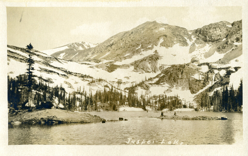 Photo: waterarchives, CC BY-SA 2.0 (via Flickr)
Diamond Lake Trail
~4 min drive
1.7-mile out-and-back hike to Diamond Lake in Colorado with 862 ft of gain.
 Photo: Ben Makuh, CC BY-SA 2.0 (via Flickr)
Horseshoe Creek
~7 min drive
0.64-mile out-and-back trail at 9,813 ft elevation in Colorado.

