Rainbow Lakes
- 15.3 mi
- round trip
- 2,274 ft
- climb
- 11,355 ft
- high point
- Out and back
- route
Is Rainbow Lakes open right now?
Alert in the area
The Forest Service lists 3 alerts for Medicine Bow-Routt National Forest.
Access Impact: Big Creek Lakes Dam Project
Agency alert covering Medicine Bow-Routt National Forest · USFS · Medicine Bow-Routt National Forest
Trail & Access Impact: Stillwater Reservoir Project
Agency alert covering Medicine Bow-Routt National Forest · USFS · Medicine Bow-Routt National Forest
Snowy Range - 2026 Active Vegetation Operations
Agency alert covering Medicine Bow-Routt National Forest · USFS · Medicine Bow-Routt National Forest
As of · Source: USFS · Medicine Bow-Routt National Forest. Agencies don't list every closure — check before you go.
Rainbow Lakes is a hard hike in Colorado's Mount Zirkel Wilderness, part of the Parks Ranger District of the Medicine Bow-Routt National Forest. The trail is an out-and-back route of about 15 miles, with a total elevation gain of about 2,274 feet, starting at a low point of roughly 9,086 feet and reaching a high of about 11,355 feet. The Forest Service manages the land, and the trail is on natural surface, with horses allowed. The Rainbow Lake Trailhead is the parking for the trip, and the route is open year-round. The closest neighbors are the Aqua Fria Trail and the Grizzly-Helena Trail, both about 2 miles away, and the Slide Trail at about 3 miles. For an overnight base, Teal Lake Group Campsite sits about 4 miles off.
- Aqua Fria TrailHiking1.9 mi
- Grizzly-Helena TrailHiking1.9 mi
- Slide TrailHiking3.2 mi
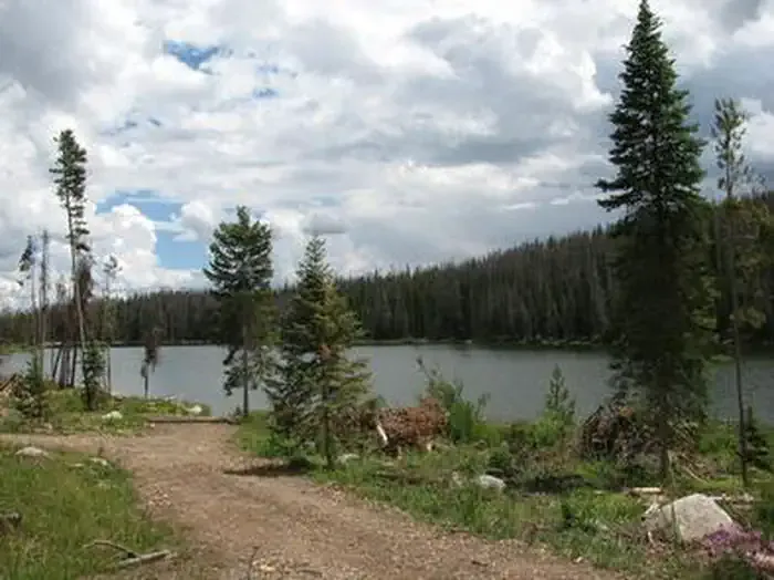 Teal Lake Group CampsiteCampingPhoto: Recreation.gov (RIDB) / public domain4.4 mi
- Roaring ForkCanoeing4.5 mi
- Chedsey CreekCanoeing5.4 mi
- Grizzly Guard StationCamping6.3 mi
- Grizzly Creek Guard StationCamping6.3 mi
Source: Roamze catalog (indexable pages within 10 miles, PostGIS distance)
 Bear LakesHiking · ~17 min drivePhoto: brewbooks from near Seattle, USA, CC BY-SA 2.0 (via Wikimedia Commons)
 Three Island LakeHiking · ~17 min drivePhoto: brewbooks, CC BY-SA 2.0 (via Flickr)
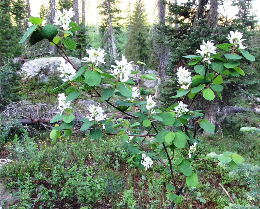 Mica BasinHiking · ~19 min drivePhoto: brewbooks, CC BY-SA 2.0 (via Flickr)
 Ditch TrailHiking · ~20 min drivePhoto: bjwhite66212, CC BY-SA 2.0 (via Flickr)
- Wyoming TrailHiking · ~18 min drivePhoto: brewbooks, CC BY-SA 2.0 (via Flickr)
- CragsHiking · ~10 min drive
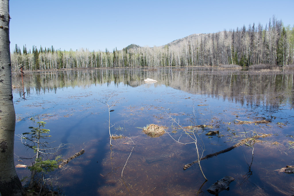 Soda Creek TrailHiking · ~21 min drivePhoto: bjwhite66212, CC BY-SA 2.0 (via Flickr)
- GilpinHiking · ~19 min drivePhoto: brewbooks, CC BY-SA 2.0 (via Flickr)
- Big Creek Lake(hp)Hiking · ~11 min drive
- Grizzly-Helena TrailHiking · ~3 min drive

