Grizzly-Helena Trail
- 3.0 mi
- distance
- 800 ft
- climb
- Easy
- difficulty
- Jun–Sep
- best months
Caution today
Agency alerts are in effect for this area; weather is good · USFS, OpenWeather · checked 8 h ago
Is Grizzly-Helena Trail open right now?
Alert in the area
The Forest Service lists 3 alerts for Medicine Bow-Routt National Forest.
Access Impact: Big Creek Lakes Dam Project
Agency alert covering Medicine Bow-Routt National Forest · USFS · Medicine Bow-Routt National Forest
Trail & Access Impact: Stillwater Reservoir Project
Agency alert covering Medicine Bow-Routt National Forest · USFS · Medicine Bow-Routt National Forest
Snowy Range - 2026 Active Vegetation Operations
Agency alert covering Medicine Bow-Routt National Forest · USFS · Medicine Bow-Routt National Forest
As of · Source: USFS · Medicine Bow-Routt National Forest. Agencies don't list every closure — check before you go.
The Grizzly-Helena Trail is an easy hike of about 3 miles in Colorado's Medicine Bow-Routt National Forest, within the Parks Ranger District. The Forest Service manages the land, and the trail gains about 800 feet in elevation over its length. Summer is the most comfortable time to go. Typical averages from a nearby weather station in Spicer, CO, run to highs around 77°F in July and 76°F in August, with lows in the low 40s. Winter is cold, with January highs near 28°F. The Aqua Fria Trail starts just 0.1 mile away, and Newcomb Creek and Rainbow Lakes are both within about 2 miles. Teal Lake Group Campsite, about 2.5 miles off, offers a place to camp.
- Aqua Fria TrailHiking0.1 mi
- Newcomb CreekHiking1.5 mi
- Rainbow LakesHiking1.9 mi
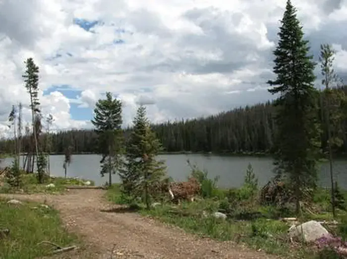 Teal Lake Group CampsiteCampingPhoto: Recreation.gov (RIDB) / public domain2.5 mi
- Chedsey CreekCanoeing4.2 mi
- Grizzly Guard StationCamping4.5 mi
- Grizzly Creek Guard StationCamping4.6 mi
- Roaring ForkCanoeing6.2 mi
Source: Roamze catalog (indexable pages within 10 miles, PostGIS distance)
 Ditch TrailHiking · ~17 min drivePhoto: bjwhite66212, CC BY-SA 2.0 (via Flickr)
 Three Island LakeHiking · ~19 min drivePhoto: brewbooks, CC BY-SA 2.0 (via Flickr)
- Big Creek Lake(hp)Hiking · ~11 min drive
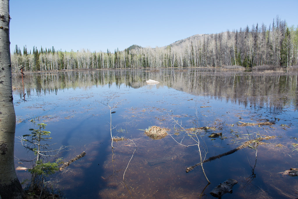 Soda Creek TrailHiking · ~18 min drivePhoto: bjwhite66212, CC BY-SA 2.0 (via Flickr)
- Flash of Gold TrailHiking · ~19 min drivePhoto: bjwhite66212, CC BY-SA 2.0 (via Flickr)
- Soda Mountain TrailHiking · ~13 min drive
- Panorama TrailHiking · ~19 min drivePhoto: bjwhite66212, CC BY-SA 2.0 (via Flickr)
 Gold Creek LakeHiking · ~20 min drivePhoto: brewbooks, CC BY-SA 2.0 (via Flickr)
- Lone PineHiking · ~16 min drive
 Bear LakesHiking · ~20 min drivePhoto: brewbooks from near Seattle, USA, CC BY-SA 2.0 (via Wikimedia Commons)
Best time to visit Grizzly-Helena Trail
Best months: June–September. Best months have typical highs of 55–85 °F, lows of 30 °F or warmer (32 °F where the station doesn't record snow), at most one snowy day and no more than 12 wet days.
Jan
28° / 7°
8 wet
Feb
31° / 9°
8 wet
Mar
40° / 15°
8 wet
Apr
49° / 23°
9 wet
May
59° / 30°
10 wet
Jun
71° / 36°
8 wet
Jul
77° / 42°
9 wet
Aug
76° / 40°
11 wet
Sep
68° / 34°
8 wet
Oct
55° / 25°
7 wet
Nov
39° / 16°
8 wet
Dec
29° / 9°
8 wet
Typical high / low (°F) and days with rain or snow, 1991–2020. Measured at Spicer, CO, 13.3 mi away at 8,385 ft. We don't have this place's elevation, so higher spots nearby can run cooler. This station doesn't record snowfall. Source: NOAA NCEI U.S. Climate Normals 1991–2020.

Map and trail data © OpenStreetMap contributors
